
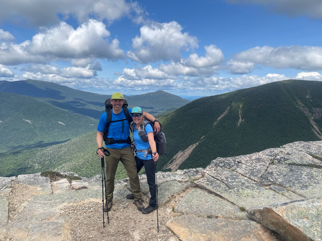
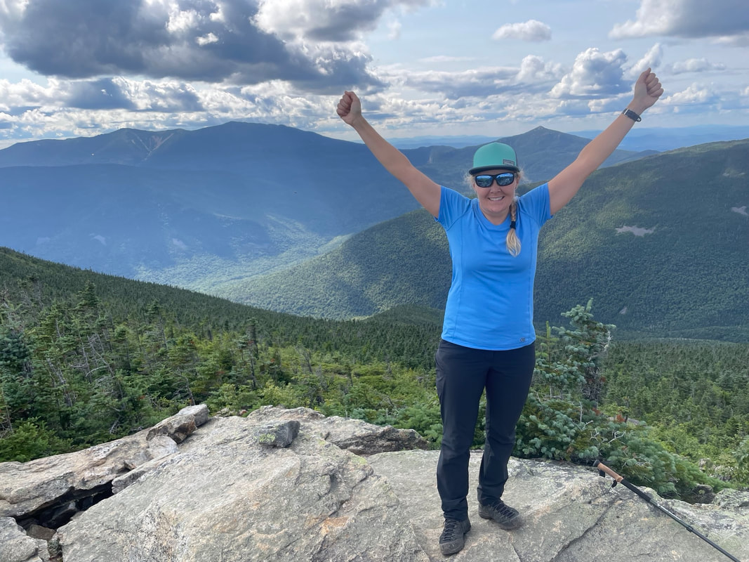
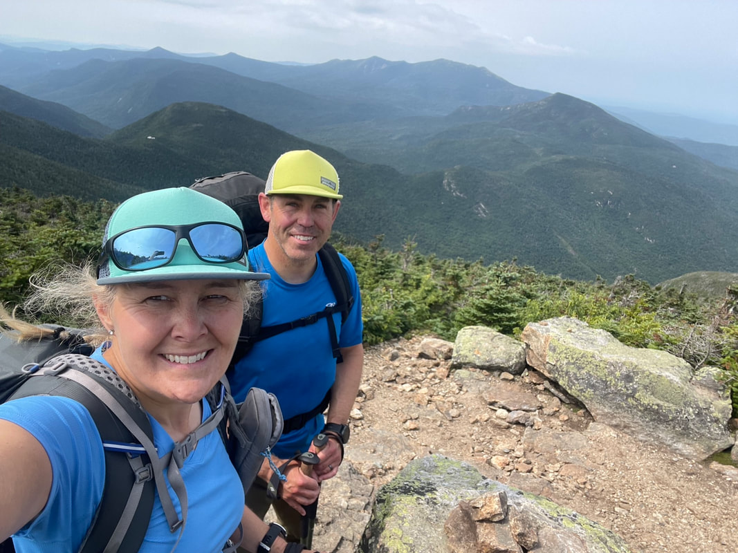
Summit of Bondcliff
A full Pemigewasset loop backpacking attempt has been in my mind for many years. As a peak bagger looking to check off 4000ft mountains, it gave me the opportunity to bag 10-12 more summits as well as a challenging backpacking route that I could test my legs and lighter weight backpacking gear on. A summer plan came together at the beginning of August 2023, and off we went over the border and down. The attempt was ultimately UNsuccessful so read on to find out why!
After a 7 hour drive plus a 1 hour border crossing delay down to the Lincoln, New Hampshire area, we found ourselves scoring the last campsite at the Hancock campground. This first come first served campground is right across from the Lincoln Woods trailhead and the trailhead we would be using to start the loop. The forecast was cooler than average for August with daytime temperatures being in the single digits celsius with partly cloudy for two days and a chance of rain for the third.
Wednesday August 2nd, 2023
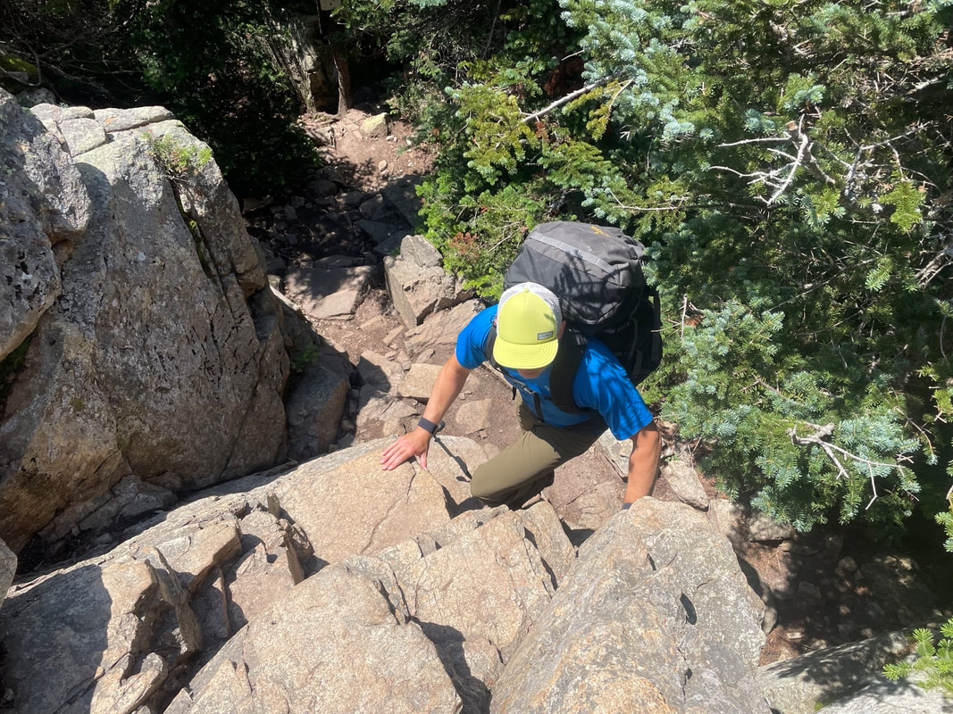
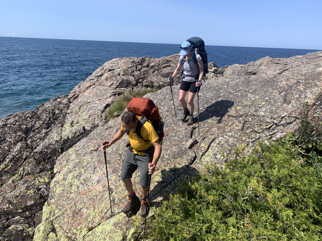
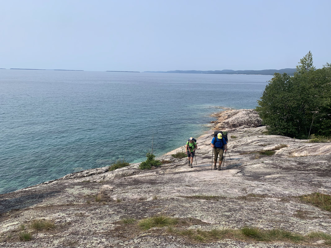
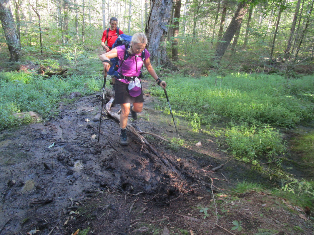
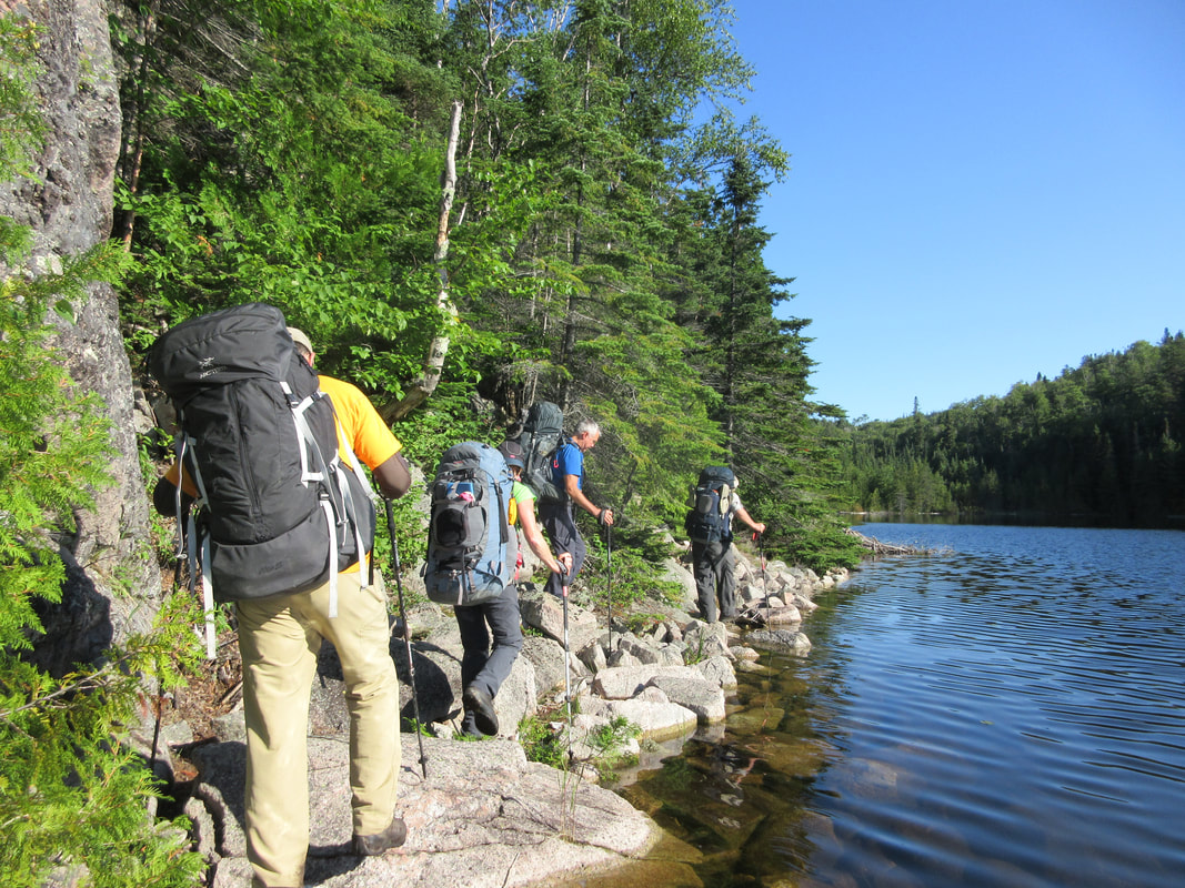
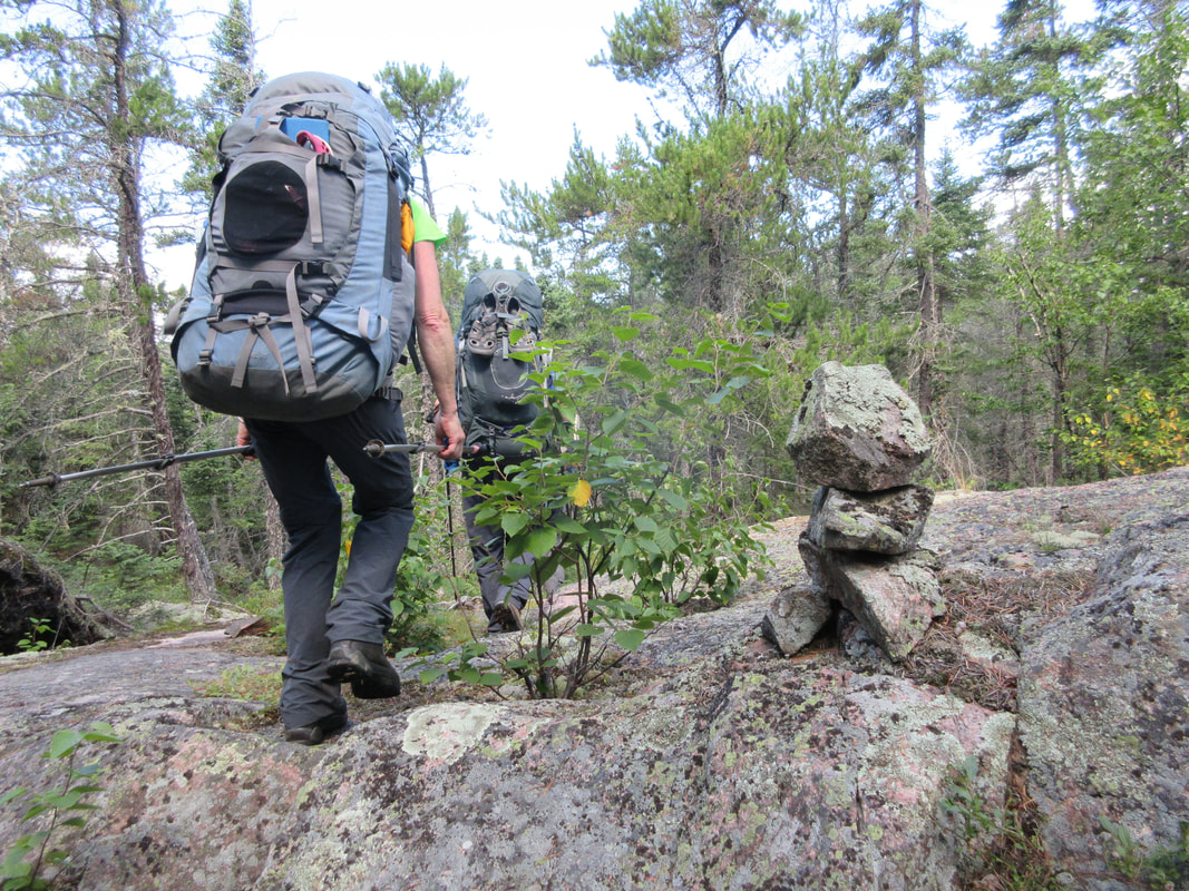
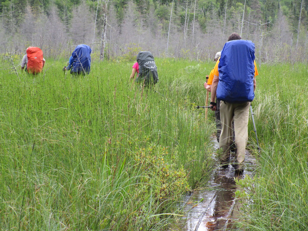
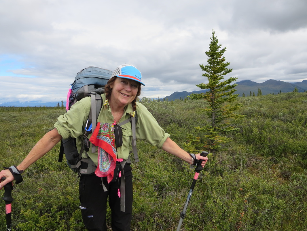
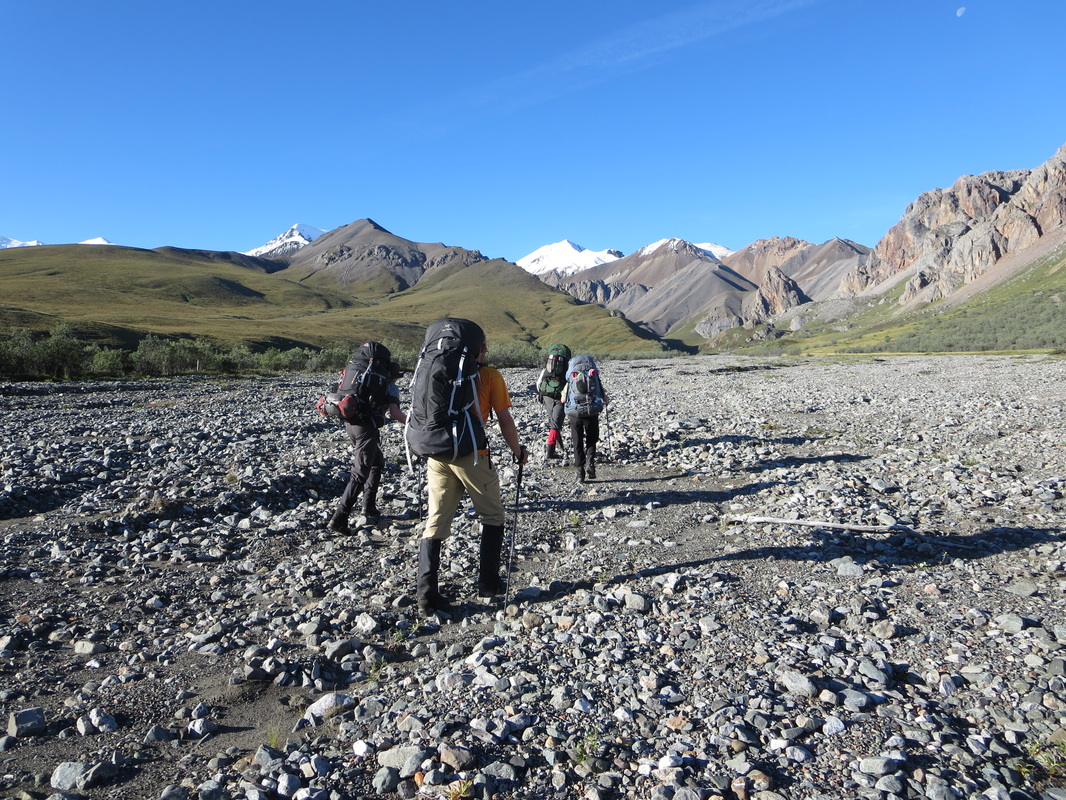
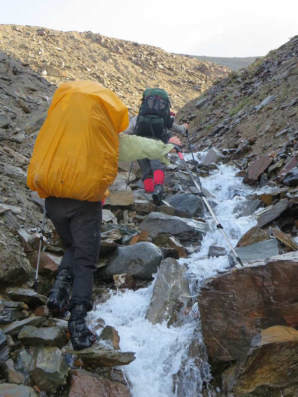
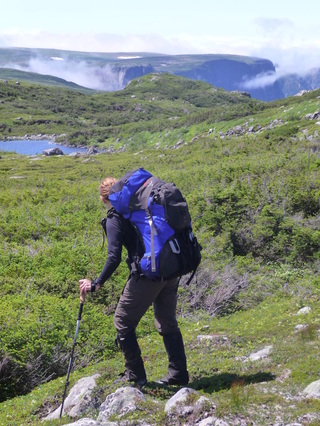
After paying our $5/day parking fee via credit card at the machine at the Lincoln Woods parking area, we headed off to start our counterclockwise loop at 7:45AM. The first 8km of trail is very easy and flat with only some old railroad ties left to lift your legs over. We walked swiftly averaging a 5km/hour pace and then finally started up a nice gradual ascent along side the Black Brook. I left the trailhead with 23lbs on my back including water and food and Glenn at 29lbs. I had invested in lighter weight backpacking gear in recent years, and it was making a significant difference in the speed I can hike with a full pack. At the 12.5km mark, the trail rose more steeply with some rock steps to huff and puff up.
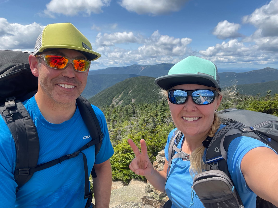
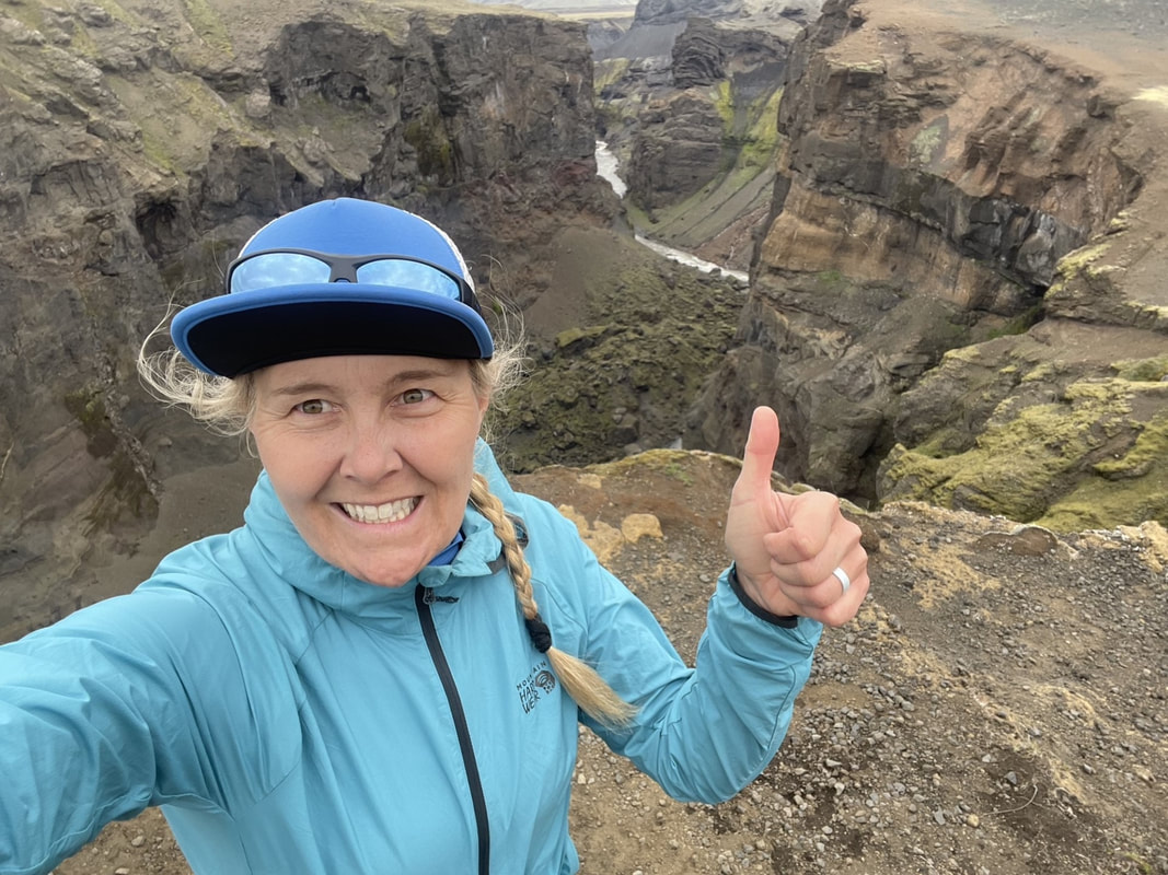
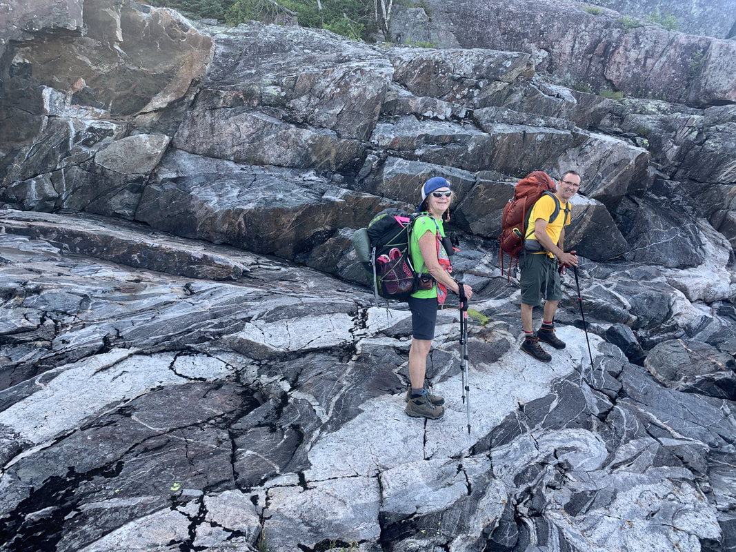
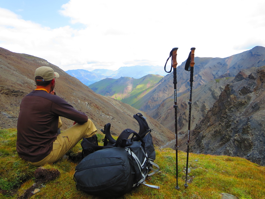
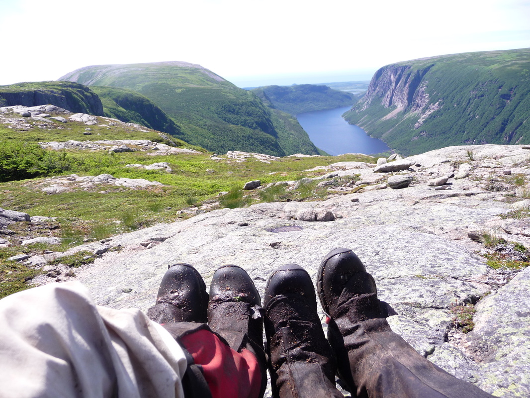
Before we knew it we scrambled up a small rock cliff and soon after recognized the alpine scrub vegetation associated with most New England summits. The summit of Bondcliff at 4625 feet is absolutely stunning - a large open rock covered area with 360 degree views of the entire Pemi Range and beyond. We decided to have lunch here. As we sat at the amazing scenery, I noticed 2 small white airplanes in the distance that didn't sound like a Cessna so I was wondering what type of aircraft it might be. Turned out we were in for a treat! Three military aircraft like the Blue Angels or Canada's Snowbirds were out on a training flight. They flew right between us on the summit of Bondcliff and the adjacent summit Mount Bond in the col and entertained us with some cool acrobatic maneuvers flying sideways and buzzing all around us!
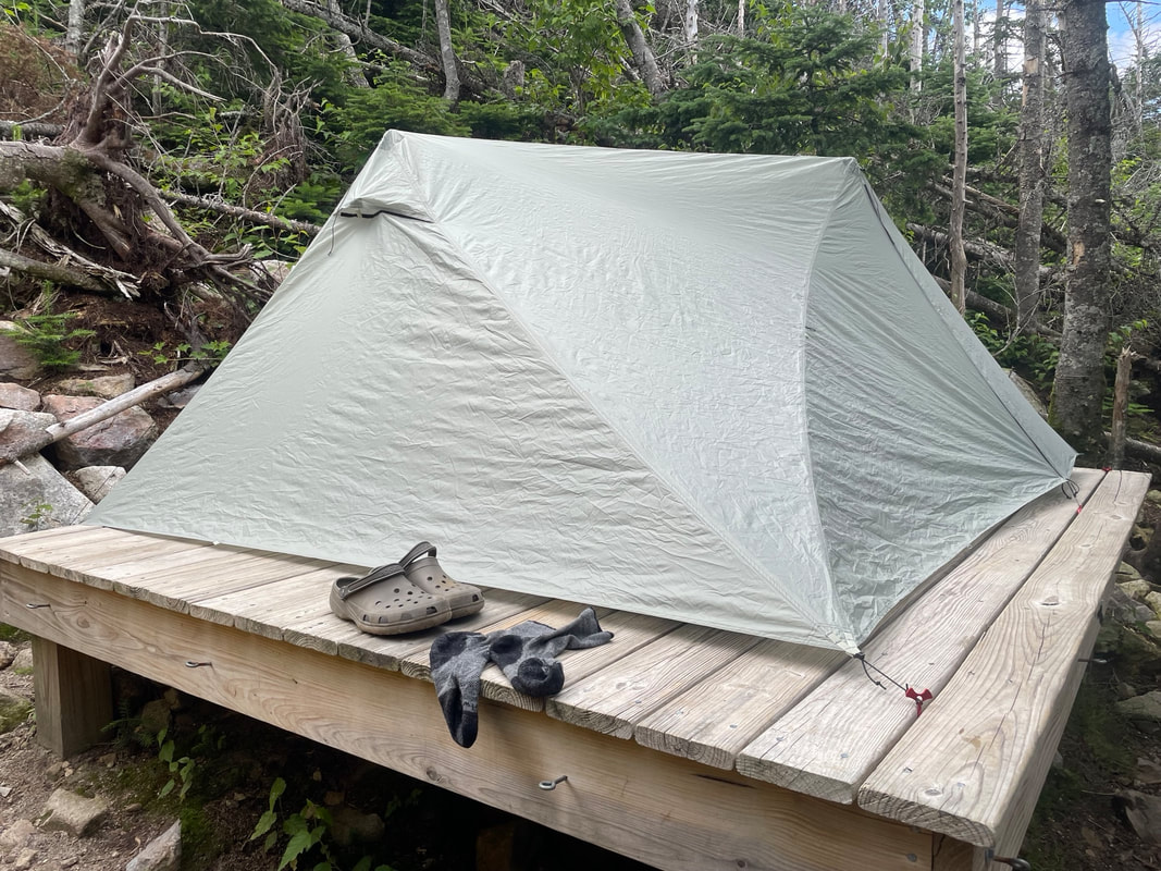
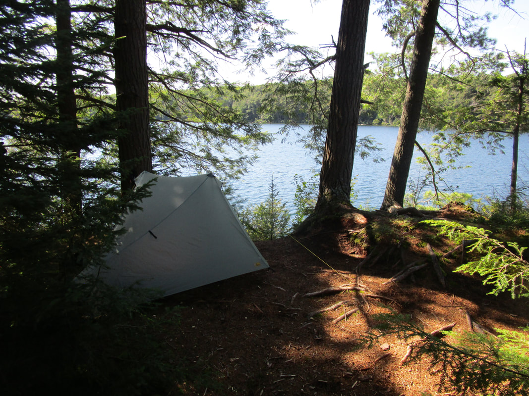
After a quick photo shoot on Bondcliff's rock feature we continued down into the wide open col and up to Mt Bond. So far this direction of travel has worked out really well as the ascents are all fairly gradual. That said, my hiking legs were already in good shape after a backpacking and hiking trip to Iceland in July of 2023. Mt Bond's summit was very small and crowded so we only stayed long enough to find the summit marker and take a photo. The next objective of the day was to get a camp spot at the the Guyot (pronounced Ghee-oh) campsite. We arrived at 2:15PM and early enough to score a tent platform all to ourselves. We set up the hiking pole tent (Durston Xmid 2) with some McGyvering and emptied most of our pack and downed some filtered water and snack food. The work wasn't done for the day though...we still had the summit of nearby West Bond Mtn to do.
We took a low key stroll up the ascent from the campsite and up another hill to the junction off the main ridge trail. West Bond has a small rocky summit and is only 0.5miles off the main ridge trail. Now late afternoon, most of the traffic we had seen on it's peak all day had disappeared and we enjoyed the summit all to ourselves for about 10 minutes before a few more fellow campers came out to check it out.
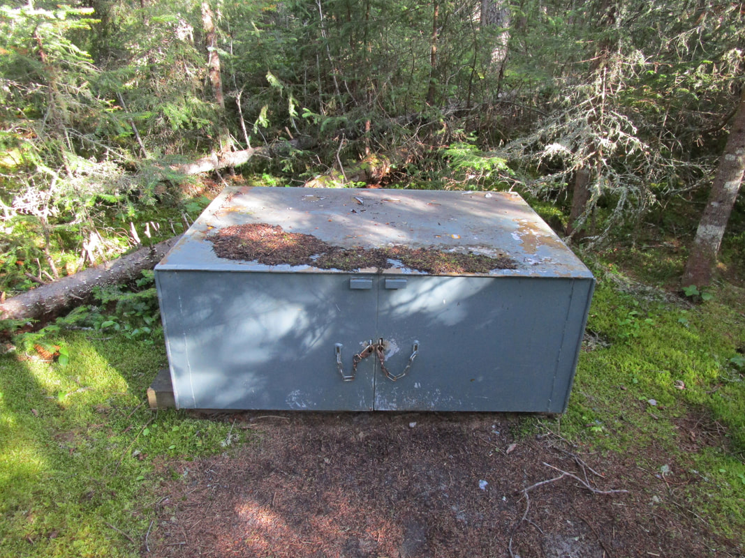
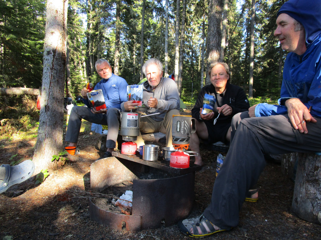
Back to the campsite, we returned to find most of the 10 tent platforms and sleeping shelter full and before long they were completely full on a Wednesday night! After some socialization and dinner at the bear caches, the temperature dropped we migrated to our warm sleeping bag cocoons. The damp conditions made it feel like 3 degrees celsius!
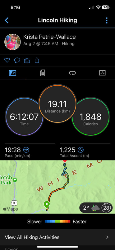
Day 1 totals:
Distance: 23km
Elevation gain: 4685ft
Hiking time: 6 hours
Overall with rest breaks: 7.5 hours
After a 7 hour drive plus a 1 hour border crossing delay down to the Lincoln, New Hampshire area, we found ourselves scoring the last campsite at the Hancock campground. This first come first served campground is right across from the Lincoln Woods trailhead and the trailhead we would be using to start the loop. The forecast was cooler than average for August with daytime temperatures being in the single digits celsius with partly cloudy for two days and a chance of rain for the third.
Wednesday August 2nd, 2023
After paying our $5/day parking fee via credit card at the machine at the Lincoln Woods parking area, we headed off to start our counterclockwise loop at 7:45AM. The first 8km of trail is very easy and flat with only some old railroad ties left to lift your legs over. We walked swiftly averaging a 5km/hour pace and then finally started up a nice gradual ascent along side the Black Brook. I left the trailhead with 23lbs on my back including water and food and Glenn at 29lbs. I had invested in lighter weight backpacking gear in recent years, and it was making a significant difference in the speed I can hike with a full pack. At the 12.5km mark, the trail rose more steeply with some rock steps to huff and puff up.
Before we knew it we scrambled up a small rock cliff and soon after recognized the alpine scrub vegetation associated with most New England summits. The summit of Bondcliff at 4625 feet is absolutely stunning - a large open rock covered area with 360 degree views of the entire Pemi Range and beyond. We decided to have lunch here. As we sat at the amazing scenery, I noticed 2 small white airplanes in the distance that didn't sound like a Cessna so I was wondering what type of aircraft it might be. Turned out we were in for a treat! Three military aircraft like the Blue Angels or Canada's Snowbirds were out on a training flight. They flew right between us on the summit of Bondcliff and the adjacent summit Mount Bond in the col and entertained us with some cool acrobatic maneuvers flying sideways and buzzing all around us!
After a quick photo shoot on Bondcliff's rock feature we continued down into the wide open col and up to Mt Bond. So far this direction of travel has worked out really well as the ascents are all fairly gradual. That said, my hiking legs were already in good shape after a backpacking and hiking trip to Iceland in July of 2023. Mt Bond's summit was very small and crowded so we only stayed long enough to find the summit marker and take a photo. The next objective of the day was to get a camp spot at the the Guyot (pronounced Ghee-oh) campsite. We arrived at 2:15PM and early enough to score a tent platform all to ourselves. We set up the hiking pole tent (Durston Xmid 2) with some McGyvering and emptied most of our pack and downed some filtered water and snack food. The work wasn't done for the day though...we still had the summit of nearby West Bond Mtn to do.
We took a low key stroll up the ascent from the campsite and up another hill to the junction off the main ridge trail. West Bond has a small rocky summit and is only 0.5miles off the main ridge trail. Now late afternoon, most of the traffic we had seen on it's peak all day had disappeared and we enjoyed the summit all to ourselves for about 10 minutes before a few more fellow campers came out to check it out.
Back to the campsite, we returned to find most of the 10 tent platforms and sleeping shelter full and before long they were completely full on a Wednesday night! After some socialization and dinner at the bear caches, the temperature dropped we migrated to our warm sleeping bag cocoons. The damp conditions made it feel like 3 degrees celsius!
Day 1 totals:
Distance: 23km
Elevation gain: 4685ft
Hiking time: 6 hours
Overall with rest breaks: 7.5 hours

Thursday August 3rd, 2023
After checking the forecast the night before on my Garmin inReach, we noticed that the forecast had changed since we last checked Tuesday morning. Now calling for the chance of rain and thunderstorms on Thursday after 3PM and continuing all day Friday, we realized we may need to change our goals for the trip. The third day of our trip was supposed to be on the Franconia Ridge section of the loop which is the highest and most exposed section - a place that I don't want to be in a thunderstorm. We decided to change our plan and try to pack in as many summits as possible before the weather tanked. We decided to get up at 5AM and were on the trail by 6:20AM.
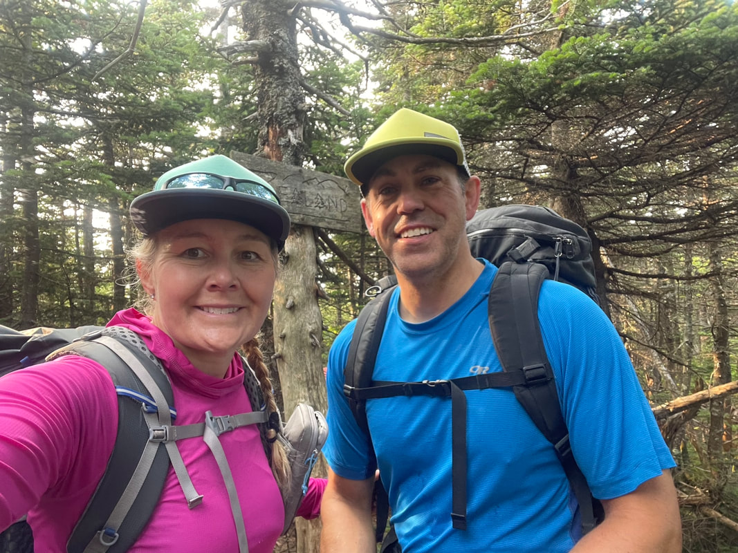
We continued on the Pemi Ridge trail counterclockwise over Mt Guyot and decided to take a spur trail out to Zealand Mountain. The trail out to Zealand drops over 600 feet before rising again towards the summit. The rocky trail descent required some brain concentration which was a challenge for before 7AM in the morning after instant coffee! When we arrived at Zealand's treed summit at 7:40, we found a tent set up and someone still inside sleeping. Without speaking we took a couple selfies and a swig of water and headed back the way we came to the main ridge trail, taking us 2 hours to complete this side mission. Here we met a woman we had crossed paths with before doing a photo shoot with her dog, who had just completed all 48 of New Hampshire's 4000ft mountain summits.
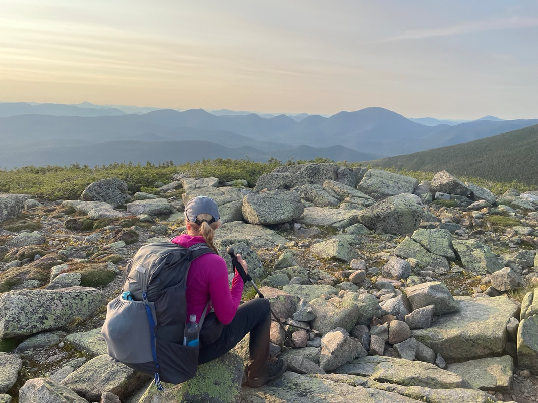
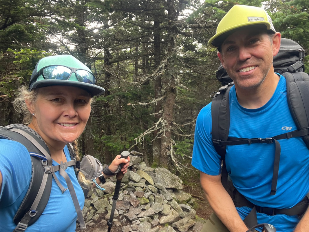
The next hour or so was a fairly flat traverse over to the monster summit of South Twin with another ascent up to it's summit. Now on the Appalachian trail, we saw some thru-hikers on the trail headed the opposite direction as well as some hikers that had slept in the Galehead hut the night before. We got to the open rocky summit at 4902ft and we were not alone. The summit was rather crowded this morning so we took a selfie at the sign and immediately left for our second spur trail of the day to North Twin Mountain. The first half of the path over to the North Twin was much easier than the one over to Zealand earlier in the day. I called it 'mud and scrub' or full of mud puddles and scrubby alpine trees that brushed our arms as we walked by. We zoomed through this initial section and down into the col but then the paced slowed climbing up some rock scrambles and through a forested trail. I wondered if the summit was ever going to appear. Finally at the junction sign we took the very short worthwhile outlook side trail to confirm the summit only 40 minutes after we had left South Twin. From this lookout, we could see the Galehead hut and feel the wind picking up and see the clouds moving in. I doctored Glenn's second heel as he was feeling another hot spot emerge and wanted to stay ahead of it before a huge blister formed. I had taped the other one the day before. It was only 10:40 AM, but we were over 4700 feet of elevation and needed to start thinking about what our plan for the afternoon would be.
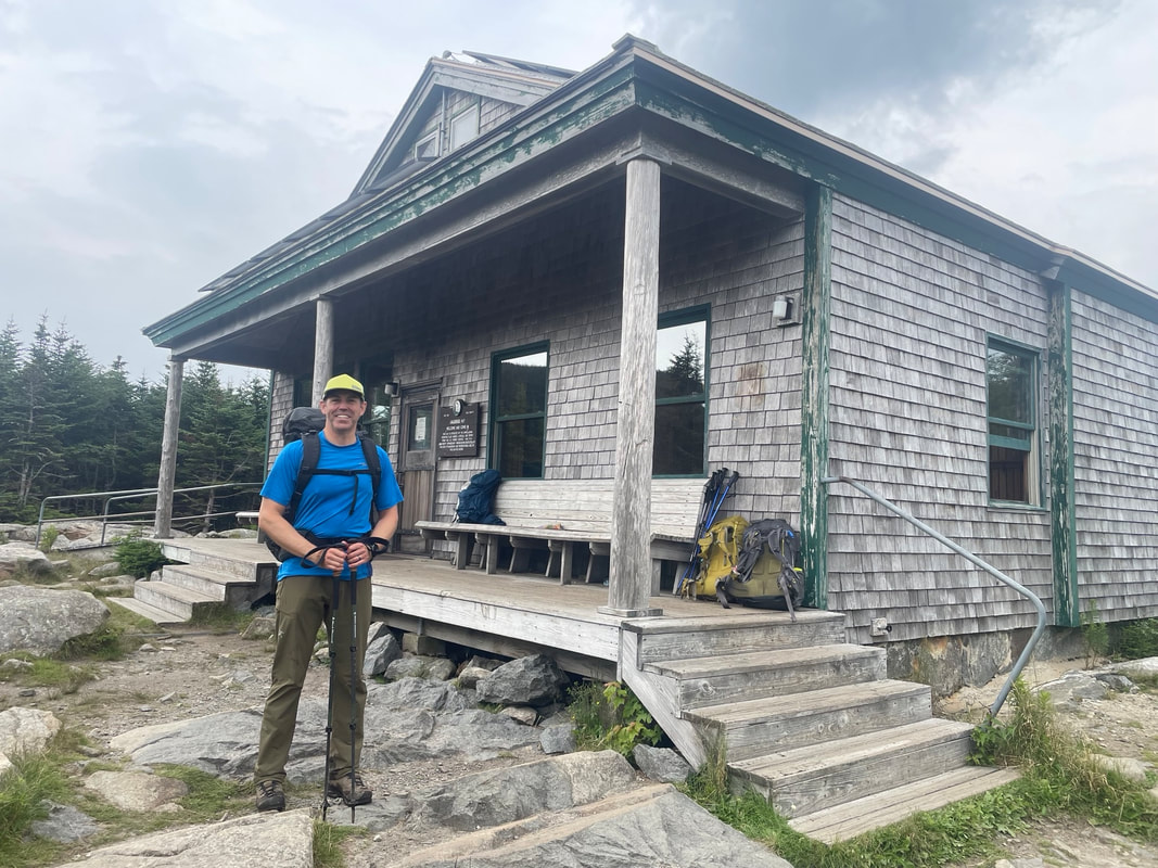
Back over to South Twin, the summit was almost empty so we decided to sit down to re-fuel and catch our breath. The views from this summit were spectacular and we took them in for as long as we could. The wind was definitely strong and if we weren't hot from the 12.7km of hiking we had already done at that point we would have been putting on a layer. We continued on the loop down a steep rocky boulder 1000 foot descent down to the Galehead hut. We could feel our legs jittering after all the braking we had to do on the descent. At the Galehead hut our suspicions were confirmed: the weather was indeed tanking and in a matter of a couple of hours, it would be raining and possibly thunderstorming. The 'chance of rain' forecast I had read days ago had turned into a 'Flood watch' and 90% chance of thunderstorms both for Thursday afternoon and Friday. We had a few Plan B's in mind: either to camp at the Garfield camp and hike out the next day, hike down into the Thirteen falls campground and complete a version of the loop in the valley, or three, hike out the Gale River and hopefully catch a shuttle or ride back to our car. We decided on the Gale River option.
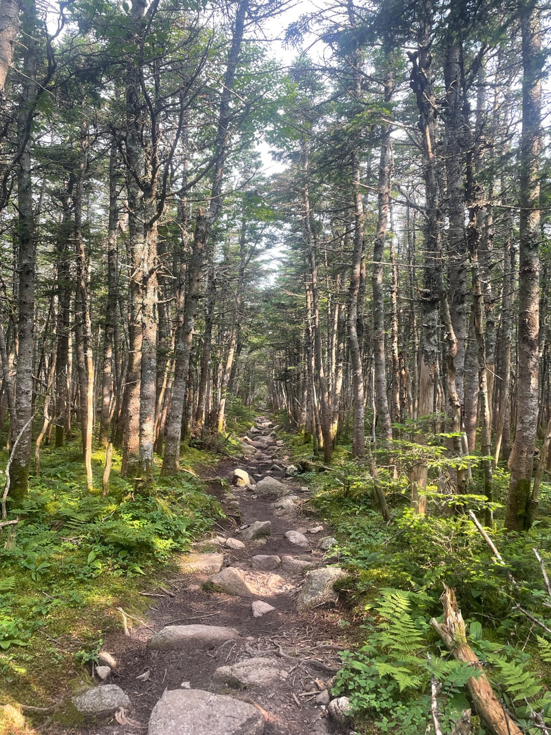
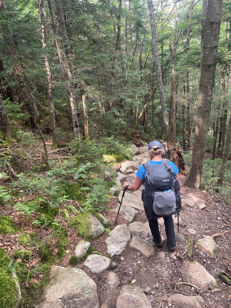
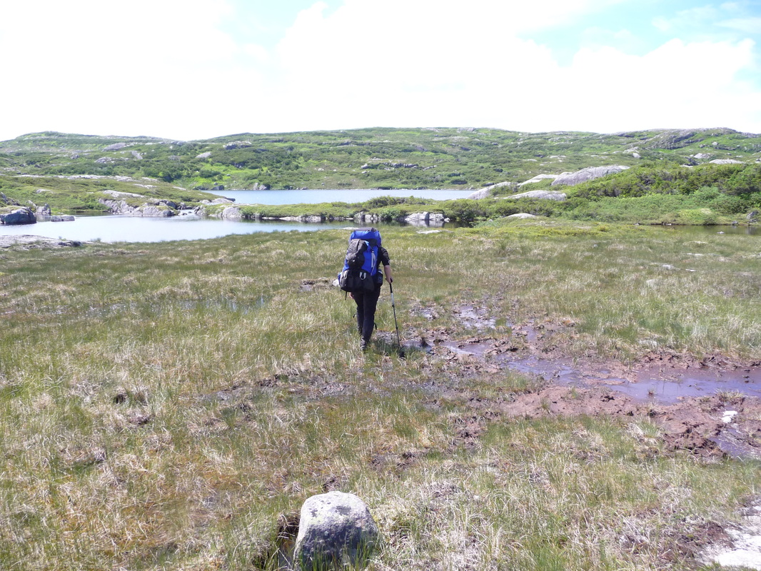
Before we hiked out, we took the 0.5mile trail up to the unspectacular Galehead Mtn summit. This short trail was one of the shortest and quickest hikes I have done to a 4000ft mountain. With no views, we spent about 10 seconds at the rocky summit cairn! Back down to the hut, we treated ourselves to a piece of berry crumble cake for $2 a slice and then headed back to the ridge trail. We saw a few groups and families coming to the hut for the night. Turning off the ridge trail I was sad to let go of my goal of doing the entire loop and knocking off 10-12 summits, but it was the safest decision and one I know I won't regret when I finally am up on Franconia Ridge on day that is sunny. The Gale River trail starts out steep and rocky descending quickly but then mellows out to a soft dirt trail which was a welcome change for our knees and feet that had been pounding on rocks all day.
We arrived at the parking lot at 4PM and knew we had missed the last shuttle at 2:20PM. We found a couple in a car that knew of some potential shuttle drivers. As I was getting phone numbers, Glenn was talking to a couple of university aged girls that had finished the trail and one was willing to drive us around to the other side of the loop! We were elated we found a drive within 5 minutes of arriving at the trailhead! We enjoyed a outdoorsy convo on the road and paid her for her time and promised to pay it forward. As it turned out it did rain and thunderstorm all evening and overnight and into Friday morning and we were comforted that we made the right decision. It won't be hard to return to this beautiful part of the world to finish the Pemi range at some point in the future.
Day 2 Total:
Distance: 23.3km (watch battery died exactly 1km before parking)
Elevation Gain: 3323
Time: 9:34hrs including rest time
Combined total: 45km, 8008 ft elevation gain, 17 hours of hiking.
Now up to 80/115 NE list and 28/48 NH summits
After checking the forecast the night before on my Garmin inReach, we noticed that the forecast had changed since we last checked Tuesday morning. Now calling for the chance of rain and thunderstorms on Thursday after 3PM and continuing all day Friday, we realized we may need to change our goals for the trip. The third day of our trip was supposed to be on the Franconia Ridge section of the loop which is the highest and most exposed section - a place that I don't want to be in a thunderstorm. We decided to change our plan and try to pack in as many summits as possible before the weather tanked. We decided to get up at 5AM and were on the trail by 6:20AM.
We continued on the Pemi Ridge trail counterclockwise over Mt Guyot and decided to take a spur trail out to Zealand Mountain. The trail out to Zealand drops over 600 feet before rising again towards the summit. The rocky trail descent required some brain concentration which was a challenge for before 7AM in the morning after instant coffee! When we arrived at Zealand's treed summit at 7:40, we found a tent set up and someone still inside sleeping. Without speaking we took a couple selfies and a swig of water and headed back the way we came to the main ridge trail, taking us 2 hours to complete this side mission. Here we met a woman we had crossed paths with before doing a photo shoot with her dog, who had just completed all 48 of New Hampshire's 4000ft mountain summits.
The next hour or so was a fairly flat traverse over to the monster summit of South Twin with another ascent up to it's summit. Now on the Appalachian trail, we saw some thru-hikers on the trail headed the opposite direction as well as some hikers that had slept in the Galehead hut the night before. We got to the open rocky summit at 4902ft and we were not alone. The summit was rather crowded this morning so we took a selfie at the sign and immediately left for our second spur trail of the day to North Twin Mountain. The first half of the path over to the North Twin was much easier than the one over to Zealand earlier in the day. I called it 'mud and scrub' or full of mud puddles and scrubby alpine trees that brushed our arms as we walked by. We zoomed through this initial section and down into the col but then the paced slowed climbing up some rock scrambles and through a forested trail. I wondered if the summit was ever going to appear. Finally at the junction sign we took the very short worthwhile outlook side trail to confirm the summit only 40 minutes after we had left South Twin. From this lookout, we could see the Galehead hut and feel the wind picking up and see the clouds moving in. I doctored Glenn's second heel as he was feeling another hot spot emerge and wanted to stay ahead of it before a huge blister formed. I had taped the other one the day before. It was only 10:40 AM, but we were over 4700 feet of elevation and needed to start thinking about what our plan for the afternoon would be.
Back over to South Twin, the summit was almost empty so we decided to sit down to re-fuel and catch our breath. The views from this summit were spectacular and we took them in for as long as we could. The wind was definitely strong and if we weren't hot from the 12.7km of hiking we had already done at that point we would have been putting on a layer. We continued on the loop down a steep rocky boulder 1000 foot descent down to the Galehead hut. We could feel our legs jittering after all the braking we had to do on the descent. At the Galehead hut our suspicions were confirmed: the weather was indeed tanking and in a matter of a couple of hours, it would be raining and possibly thunderstorming. The 'chance of rain' forecast I had read days ago had turned into a 'Flood watch' and 90% chance of thunderstorms both for Thursday afternoon and Friday. We had a few Plan B's in mind: either to camp at the Garfield camp and hike out the next day, hike down into the Thirteen falls campground and complete a version of the loop in the valley, or three, hike out the Gale River and hopefully catch a shuttle or ride back to our car. We decided on the Gale River option.
Before we hiked out, we took the 0.5mile trail up to the unspectacular Galehead Mtn summit. This short trail was one of the shortest and quickest hikes I have done to a 4000ft mountain. With no views, we spent about 10 seconds at the rocky summit cairn! Back down to the hut, we treated ourselves to a piece of berry crumble cake for $2 a slice and then headed back to the ridge trail. We saw a few groups and families coming to the hut for the night. Turning off the ridge trail I was sad to let go of my goal of doing the entire loop and knocking off 10-12 summits, but it was the safest decision and one I know I won't regret when I finally am up on Franconia Ridge on day that is sunny. The Gale River trail starts out steep and rocky descending quickly but then mellows out to a soft dirt trail which was a welcome change for our knees and feet that had been pounding on rocks all day.
We arrived at the parking lot at 4PM and knew we had missed the last shuttle at 2:20PM. We found a couple in a car that knew of some potential shuttle drivers. As I was getting phone numbers, Glenn was talking to a couple of university aged girls that had finished the trail and one was willing to drive us around to the other side of the loop! We were elated we found a drive within 5 minutes of arriving at the trailhead! We enjoyed a outdoorsy convo on the road and paid her for her time and promised to pay it forward. As it turned out it did rain and thunderstorm all evening and overnight and into Friday morning and we were comforted that we made the right decision. It won't be hard to return to this beautiful part of the world to finish the Pemi range at some point in the future.
Day 2 Total:
Distance: 23.3km (watch battery died exactly 1km before parking)
Elevation Gain: 3323
Time: 9:34hrs including rest time
Combined total: 45km, 8008 ft elevation gain, 17 hours of hiking.
Now up to 80/115 NE list and 28/48 NH summits


 RSS Feed


