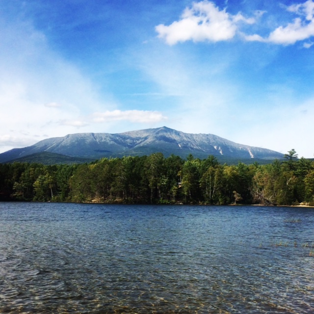
Before the hike, we camped at Katahdin Stream Campground. It is home to 12 lean-to's, 9 tentsites, and 3 group sites, and the nicest smelling and clean outhouses I have ever used. Reservations are strongly recommended. That said, this campground can be busy as it is also home for Appalachian Trail (AT) thru-hikers that will or have completed their 3500km journey at the summit of Katahdin. The first day we arrived we heard lots of cheering and hoots of joy as the finishers rolled in. Meeting the ranger on the first night, she warned us of bear actitivity and encouraged us to put our food in our car. Of course we did, but I woke up to my food being attacked by mice overnight. They had got into the car! Be warned as I lost about half my food.
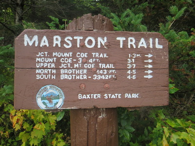
The drive to the Slide Dam parking lot from Katahdin Stream Campground took about 10 minutes. Elevation at the parking lot is almost 1200ft, so were were looking at a 3000ft ascent. Our plan was to ascend the North Brother via a loop over Mt Coe and the South Brother. Unfortunately it had rained significantly overnight and our group of three wasn't interested in climbing a wet slide and not seeing any views. Our mission was to summit the North Brother as one of our group members was completing her final peak of the NE 111(115) list. We chose to hike the Marston trail.
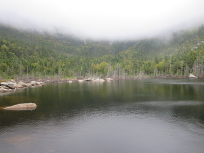
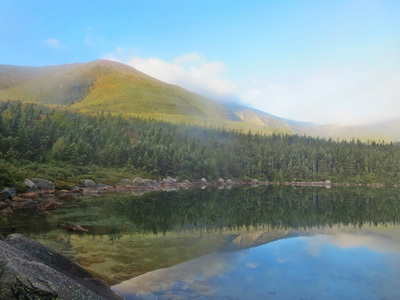
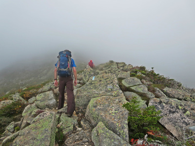
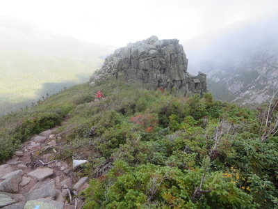
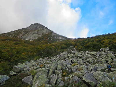
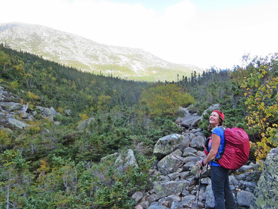
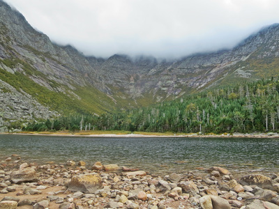
The trail can be characterized by going up 3 big steps. It starts on a flat dirt path and then gradually ascends about 1000ft before the first junction towards Mt Coe. After turning left, the trail flattens out again and travels alongside an Unnamed Pond with a short lookout. For us, it was the best lookout of the day as low-lying cloud hung over the summits. After hiking around the pond the trail heads up again another 1000ft and then flattens out once again in a wooded saddle. Here, there is a final trail junction to head over to South Brother. Turning left to North Brother, you meet the last part of the ascent. The final up is a mainly above the treeline and over some boulders to the summit itself. In a few areas, you will have to scramble (using hands and feet) to get up and down these sections.
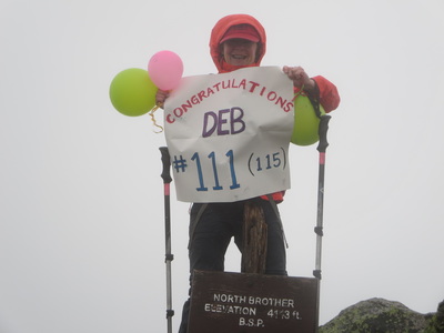
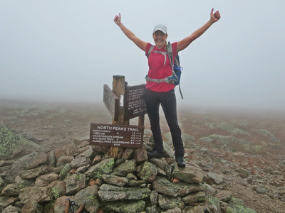
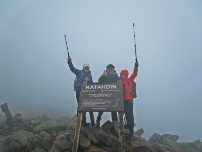
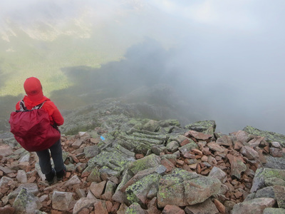
Our summit day was not a pretty one as there were no views above the treeline. Stuck in a cloud and in the rain we carefully placed each footstep on the slippery rocks and finally saw the summit marker itself. As our group member Deb reached the summit, Mike and I blew up balloons and opened up a big sign for Deb's big moment. Standing on your 115th peak must have felt incredible, and I hope to one day feel that same sense of accomplishment.
We returned down the same way we came and finished the hike in 5.5 hours. We ascended a total of 3193 ft and hiked 13.1km. We were back to the campground in time for a late lunch and warm up of soup and tea!

 RSS Feed


