
 Ascending Hurricane Mountain
 It's no secret that winter took a long time to arrive in the east in December 2015. When my husband and I booked accommodations in Keene, New York with friends for around New Year's, we expected to be spending most of our time ice climbing and skiing. When we arrived, there was very little snow, so we decided to do what we always do in the Adirondacks: Hike!
After our New Year's Eve festivities, we selected Hurricane Mountain as our New Year's Day 2016 objective. With a late start at 11AM after sleeping in and chowing down on a greasy breakfast, we decided to do the hike as a traverse instead of an out and back.
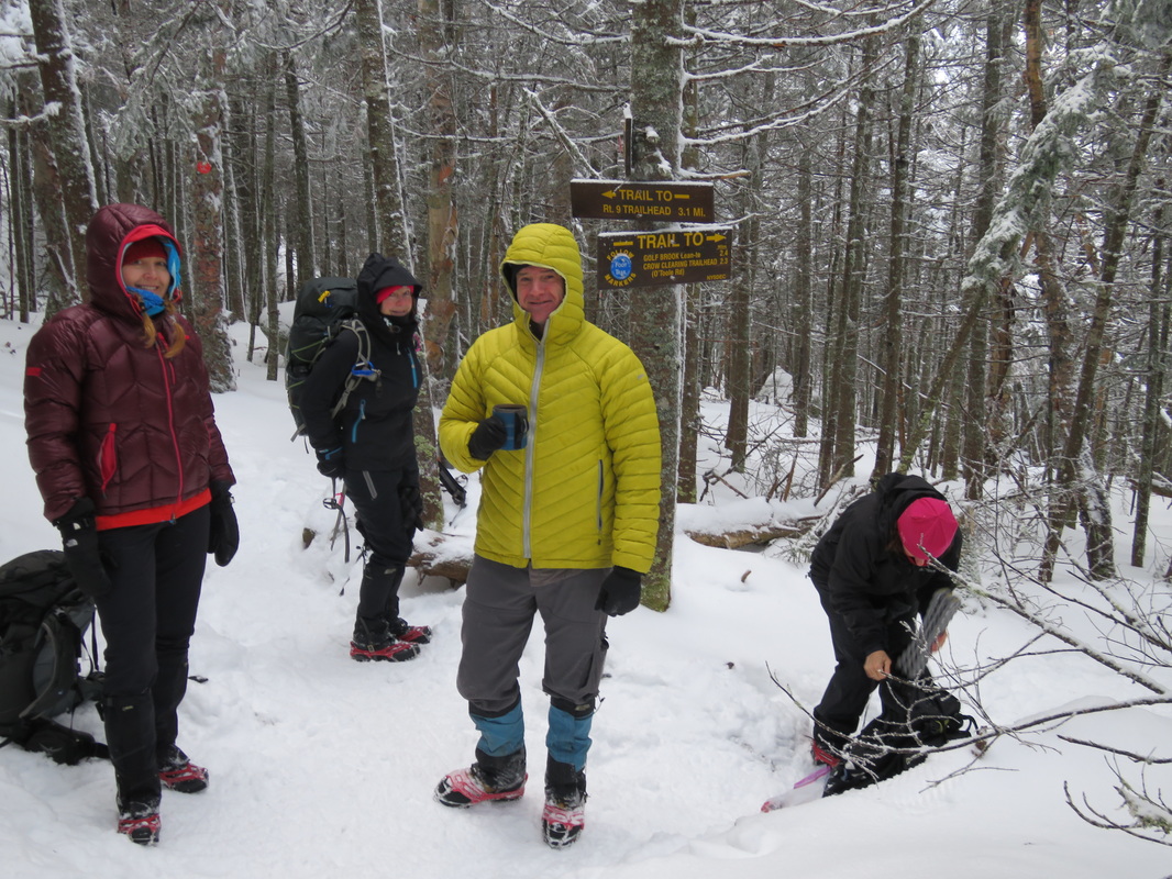
We set up a shuttle with two cars, leaving a car on route 9N at the Hurrican Mountain trailhead, near the Baxter Mountain trailhead. We drove to our starting point on the Hurricane Road, and turned right onto O'Toole Road that took us to a trailhead that also provides access to the Nun-da-ga-o Ridge and Big Crow Mountain. The actual road to the trailhead itself was not fully plowed, which added an extra 5min walk on a snow covered road to the actual trailhead. We decided to forego signing in at the register, as we knew doing a traverse we would not be returning to sign out.
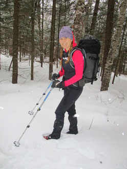
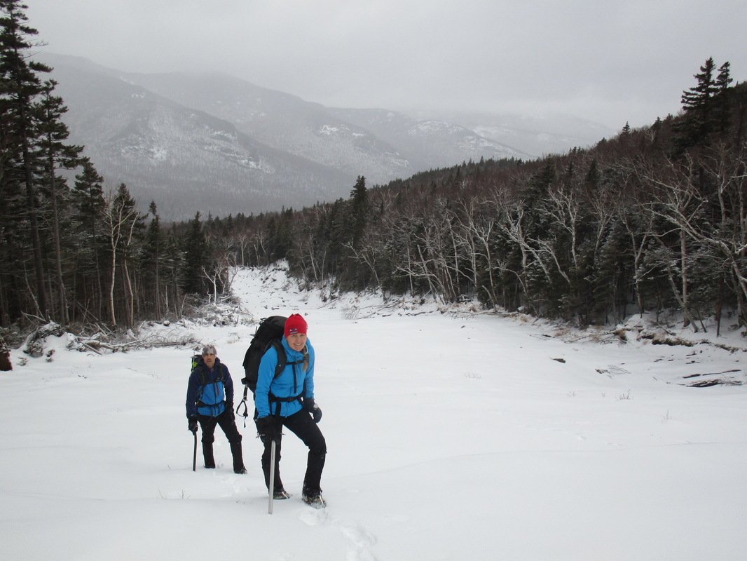
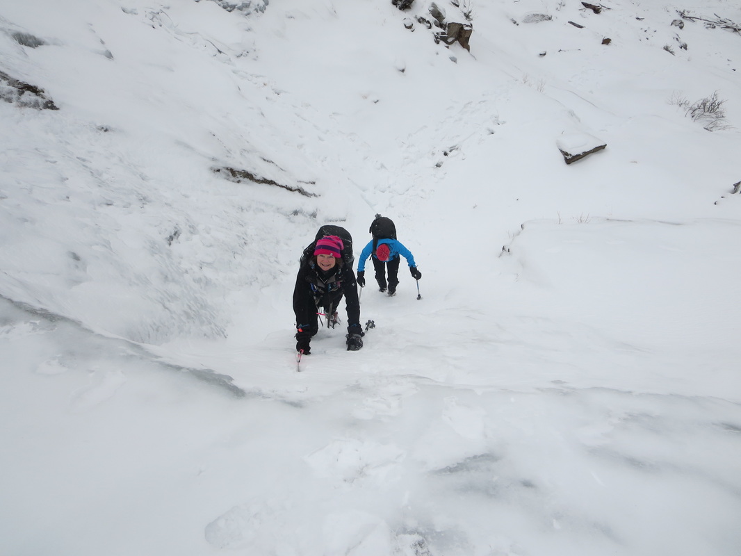
The route started with a flat mile or so warm up on a broken trail. Once turning right at the junction and rock hopping over a brook, the trail gradually ascended the 2000ft over 2 miles or so. Temperatures were around -8C/17F. The trail was snow covered, so I wore my microspikes the entire way for extra traction. The ascent travelled through beautiful birch forests, and we all remarked how enjoyable the trail was. Nearing the 3600ft height, the winds picked up and the temperatures plummeted. We stopped at the junction about 100ft below the summit, donned our down and windshells and ascended to the open rocky summit just to be blown off by 50mph/80kph winds.
After our New Year's Eve festivities, we selected Hurricane Mountain as our New Year's Day 2016 objective. With a late start at 11AM after sleeping in and chowing down on a greasy breakfast, we decided to do the hike as a traverse instead of an out and back.
We set up a shuttle with two cars, leaving a car on route 9N at the Hurrican Mountain trailhead, near the Baxter Mountain trailhead. We drove to our starting point on the Hurricane Road, and turned right onto O'Toole Road that took us to a trailhead that also provides access to the Nun-da-ga-o Ridge and Big Crow Mountain. The actual road to the trailhead itself was not fully plowed, which added an extra 5min walk on a snow covered road to the actual trailhead. We decided to forego signing in at the register, as we knew doing a traverse we would not be returning to sign out.
The route started with a flat mile or so warm up on a broken trail. Once turning right at the junction and rock hopping over a brook, the trail gradually ascended the 2000ft over 2 miles or so. Temperatures were around -8C/17F. The trail was snow covered, so I wore my microspikes the entire way for extra traction. The ascent travelled through beautiful birch forests, and we all remarked how enjoyable the trail was. Nearing the 3600ft height, the winds picked up and the temperatures plummeted. We stopped at the junction about 100ft below the summit, donned our down and windshells and ascended to the open rocky summit just to be blown off by 50mph/80kph winds.
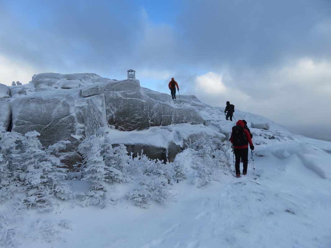
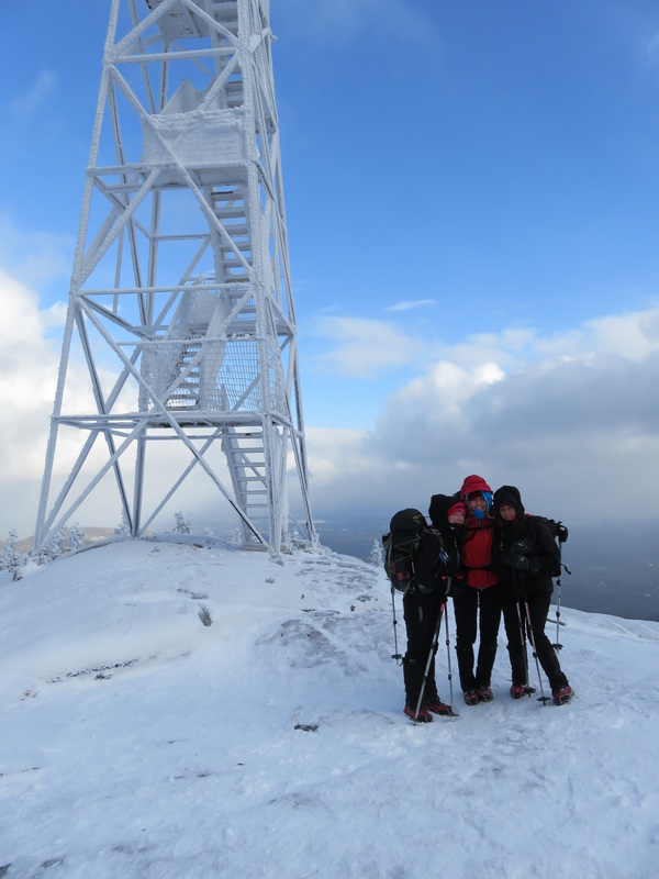
Approaching the summit. Feeling the full impact of the wind.
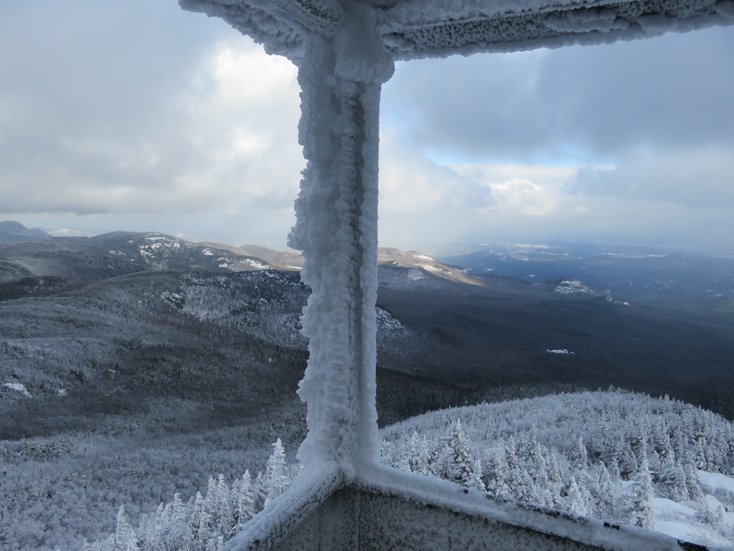
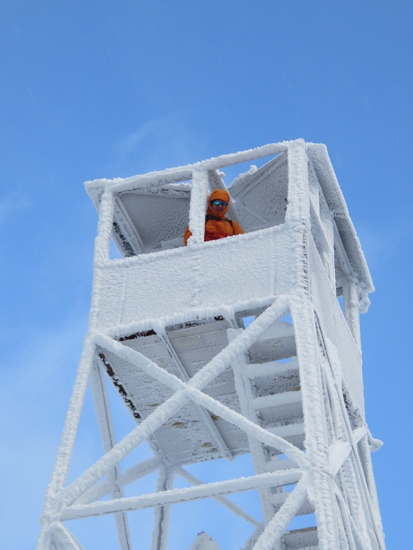
My first reaction was that Hurricane Mountain really lives up to its name! The winds were unreal, and like I have experienced before in the Adirondacks, I was barely able to stand on two feet and keep exposed skin from freezing. One of the cool features of this mountain is the newly renovated firetower, which serves as a 'cool' lookout point off the summit and has fabulous views. Temperatures with the windchill were in the -25C/-13F range, so the firetower was cool indeed. I actually never went up the firetower, as I could barely stand up as it was, along with the other 2 women in our group. The two guys braved the wind and cold and got some fantastic shots from the firetower!
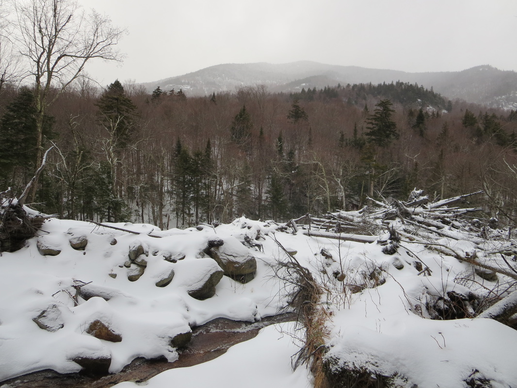
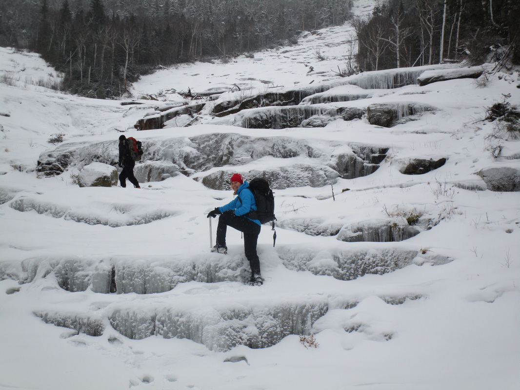
We descended down and out of the wind back to the junction where we fueled up with lunch and hot bevvies before our descent. The 3.4mile/5.5km trail back down to route 9N was very enjoyable with the snow cover we had. The gliding motion of snow descents is easy on the joints and allows for faster movement. We seemed to effortlessly fly down the trail it seemed to be over before I knew it. About 1km/0.6miles away from the car, there is a nice lookout point above a rocky cliff. A fantastic short Adirondack hike and highly recommended. I would most definitely do it again.
The totals for the trip: 10.5km/7miles, 3.5hours
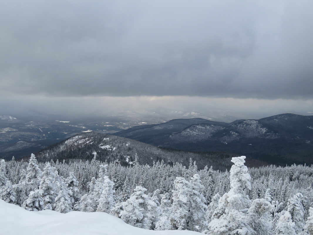
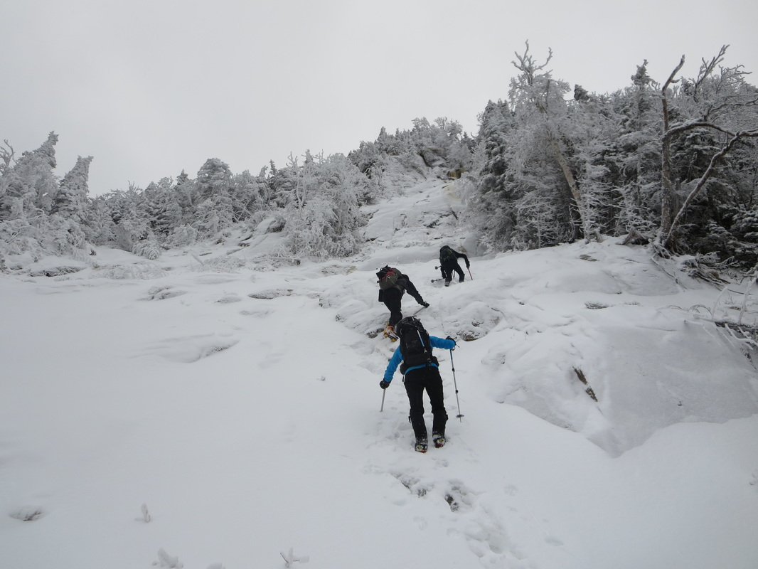
You wouldn't think we were lacking in snow from up here at 3700ft!


 RSS Feed


