
The easiest way to get to the trailhead for Mt Carrigain is to drive on Sawyer River Road. This road is not open in the winter so it's best to check here to confirm it's still open. The 3.5km/2.2mile drive in on this gravel road was very easy in the fall of 2018. The road is narrow but smooth and good for any type of vehicle. The parking lot can hold about 20 cars and can get busy as it was on the day we chose to hike it: October 20th, 2018.
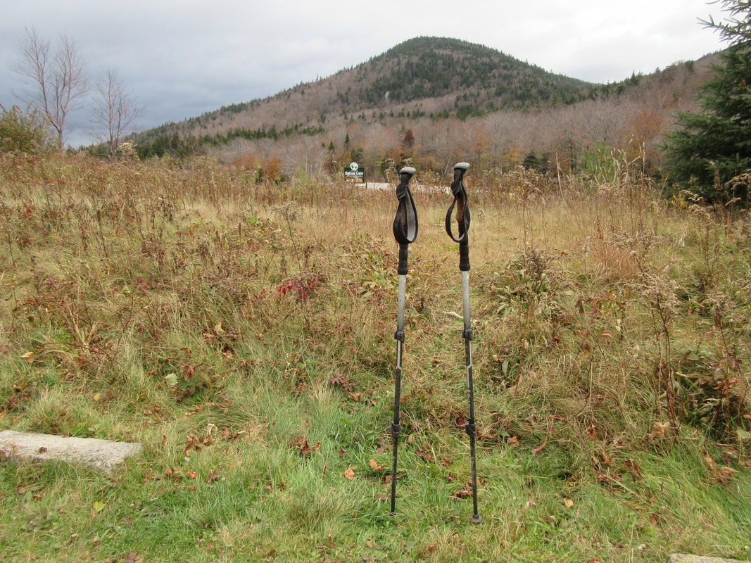
We arrived at the parking lot and as we were collecting our gear for the day I realized I couldn't find my hiking poles. After tearing the car apart, I used some creative visualization and realized I hadn't seen the poles since the end of our hike the day before. Hopping back in the car we drove 20 minutes back to Crawford Notch, expecting to find nothing in the parking lot from the day before. When we pulled in we found that some wonderful soul had stuck my poles in the grass beside the parking lot! We found them! I almost cried - these poles have been with me for thousands of miles on them. It's amazing how attached you can get to your gear! We quickly drove back to the Carrigain trailhead and begun our hike at 8:45AM.
We arrived at the parking lot and as we were collecting our gear for the day I realized I couldn't find my hiking poles. After tearing the car apart, I used some creative visualization and realized I hadn't seen the poles since the end of our hike the day before. Hopping back in the car we drove 20 minutes back to Crawford Notch, expecting to find nothing in the parking lot from the day before. When we pulled in we found that some wonderful soul had stuck my poles in the grass beside the parking lot! We found them! I almost cried - these poles have been with me for thousands of miles on them. It's amazing how attached you can get to your gear! We quickly drove back to the Carrigain trailhead and begun our hike at 8:45AM.
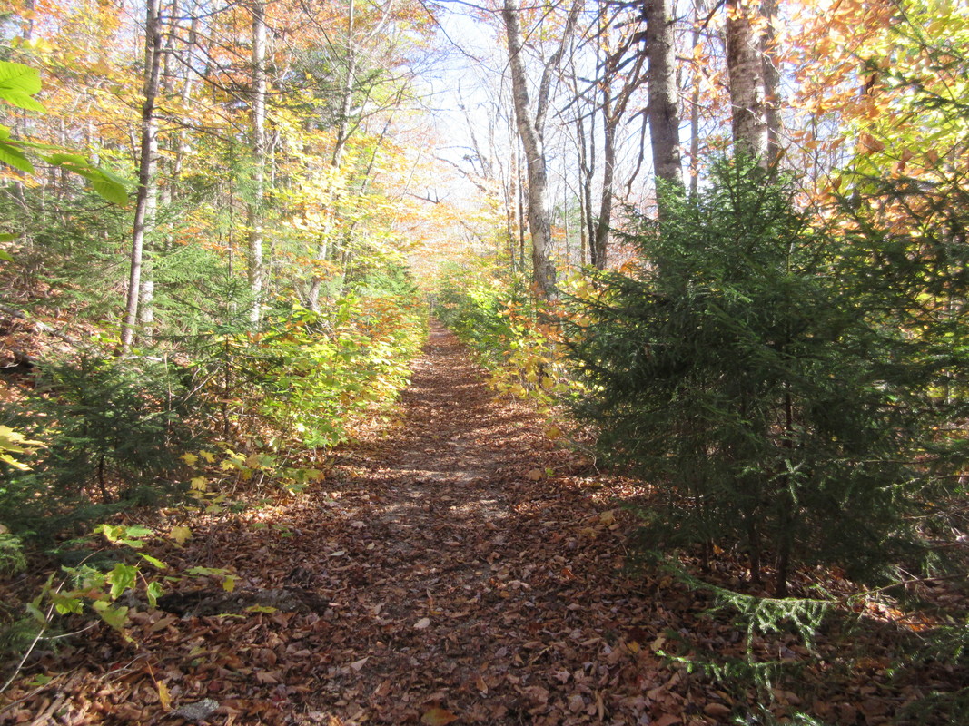

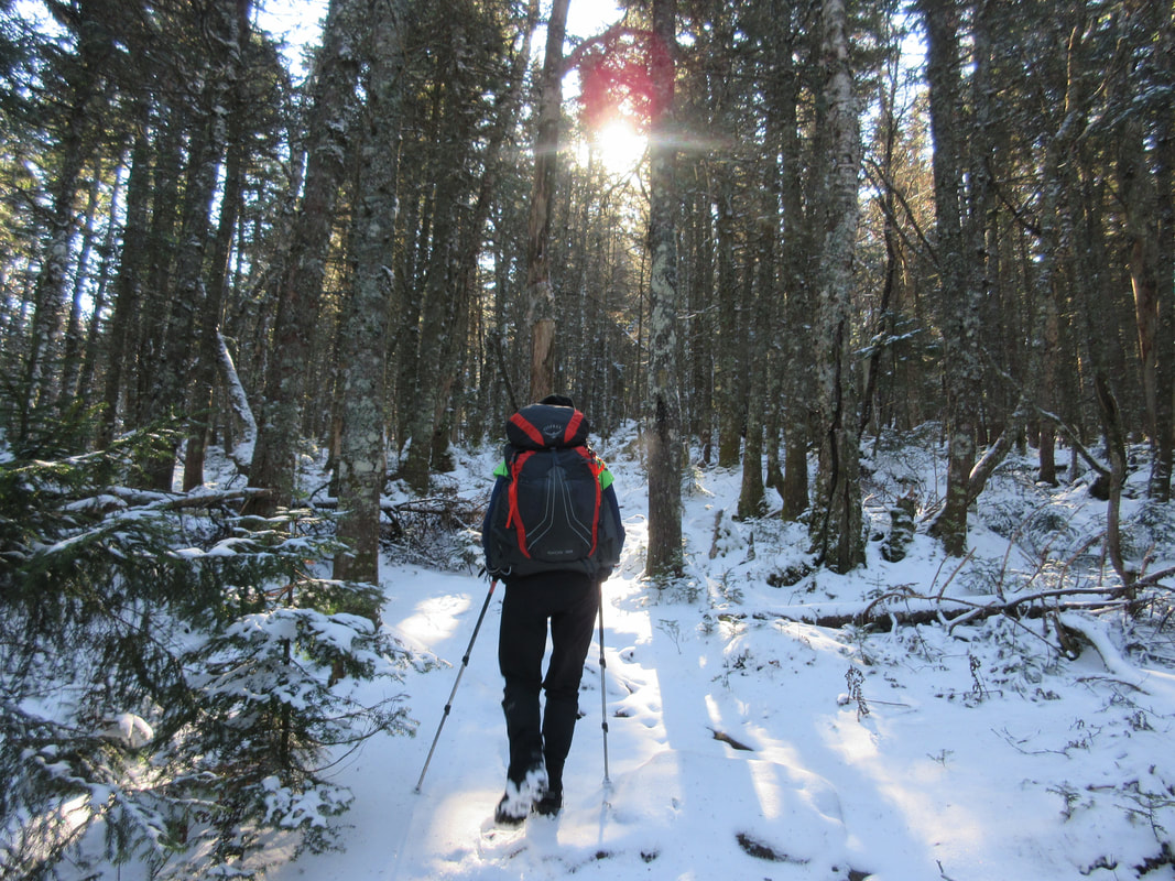
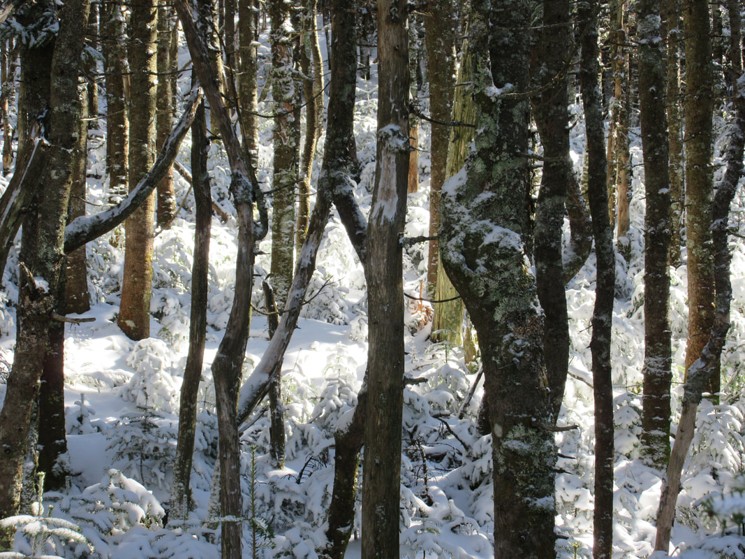
Leaving the parking lot and for the next 4km (2.5miles), the trail ascends only 700ft. This fairly flat trail follows and crosses the Whiteface brook. During the fall season, the trail winds through deciduous forest which is a delight to walk through. On our hike day the wind was up and the skies opened up with a mixture of snow and rain. Our quick pace moved us around a few groups (one group had 16 people in it!) and found us spending most of the hike with no one around!
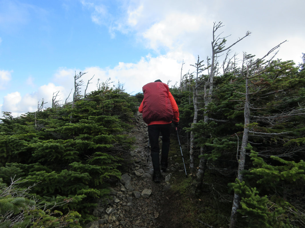
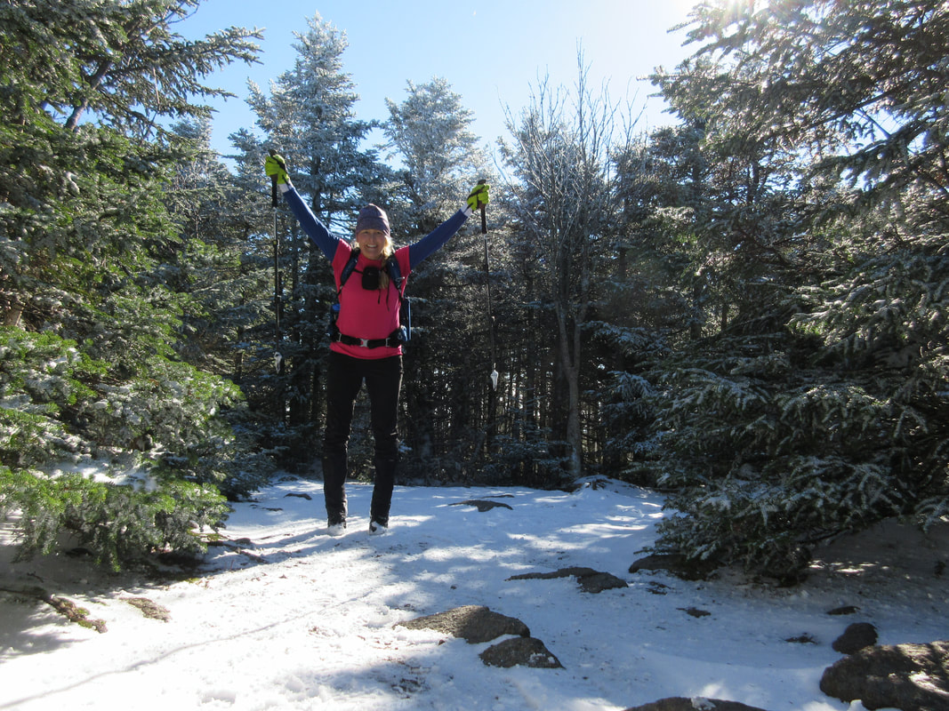
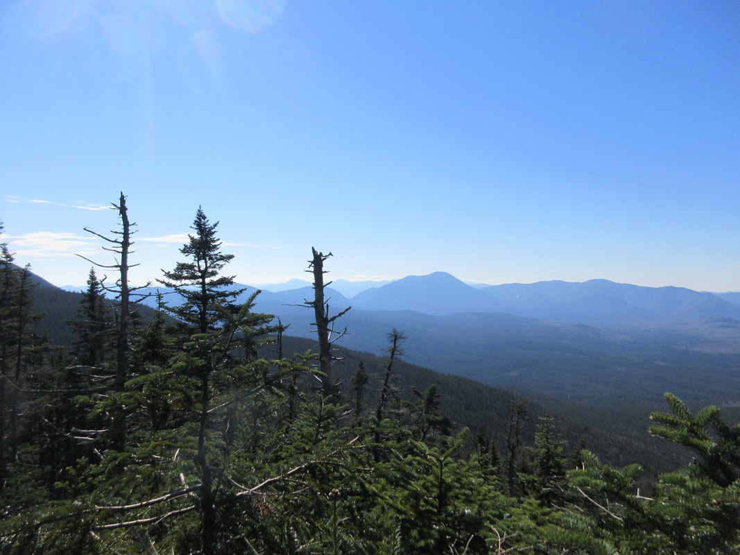
At the 2100ft mark, the slope angle begins to change and ascends at a steeper incline. For the next 2650ft the slope angle stays relatively the same and the trail makes a few switchbacks climbing gradually up the mountain. The skies dried up but the winds sounded fierce and we knew that the summit would require us to add a few layers to the one baselayer we were currently wearing. At 4400ft you arrive at the Signal Ridge - a flat exposed ridge with alpine scrub bordering each side of the trail. We layered up just before entering here and moved quickly through the wind and cloudy weather we found ourselves in.
At the 2100ft mark, the slope angle begins to change and ascends at a steeper incline. For the next 2650ft the slope angle stays relatively the same and the trail makes a few switchbacks climbing gradually up the mountain. The skies dried up but the winds sounded fierce and we knew that the summit would require us to add a few layers to the one baselayer we were currently wearing. At 4400ft you arrive at the Signal Ridge - a flat exposed ridge with alpine scrub bordering each side of the trail. We layered up just before entering here and moved quickly through the wind and cloudy weather we found ourselves in.

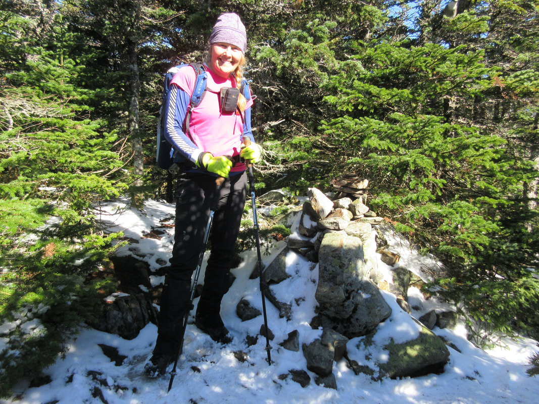
We scampered up the last few hundred feet to the summit and found it at 4757ft (I think the official height is 4700, but the firetower brings you to 4757!). We climbed the fire tower and took our summit photo with some fellow hikers celebrating a second NH round. Just below the fire tower we found a sheltered flat area that we used to fuel up and socialize.
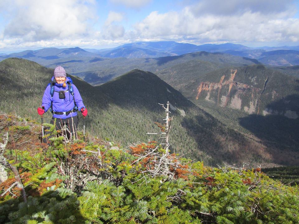
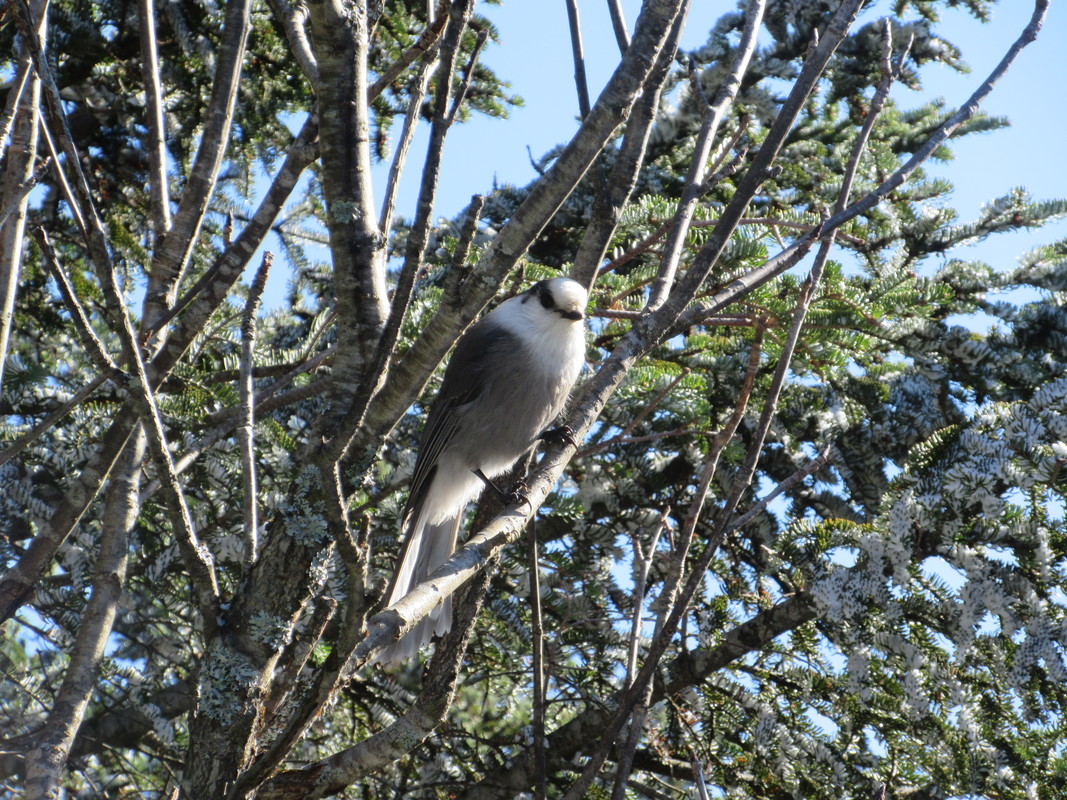
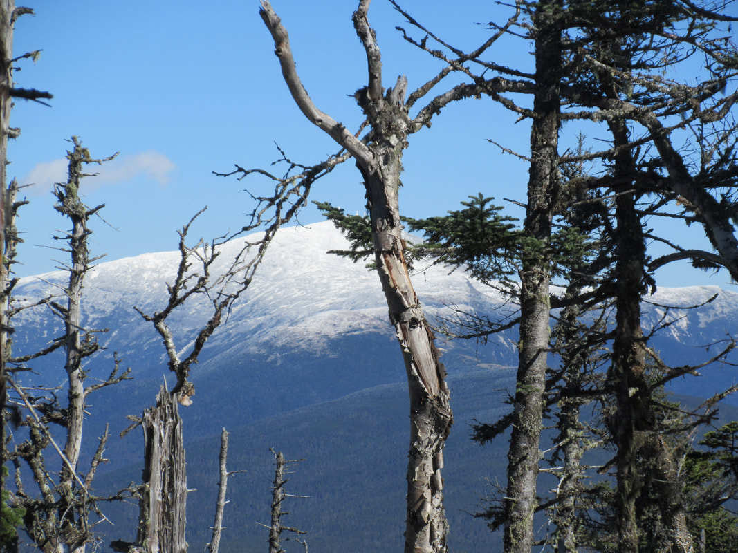
As we descended back to the ridge, the clouds broke apart and the sun came out. We got some views! Out came the camera and we snapped a few photos before descended down the trail again. Peeling off one layer at a time, we started with 5 layers at the summit and finished with one baselayer at the bottom. Taking one more lunch break at the brook crossing, we took in the fall colours and warm temps and enjoyed the natural surroundings. A short time later we were back at the parking lot - temperature in the parking lot was +14C as opposed to near freezing at the top with the windchill! Another great hike in the Whites!
Hike Totals:
Distance: 10 miles or 16km
Time: 6 hours
Total Ascent: 4144ft
.gpx track
Accommodations: Dry River Campground


 RSS Feed


