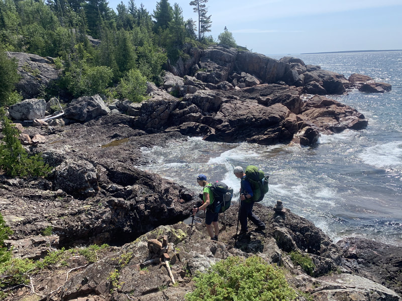
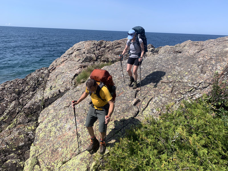
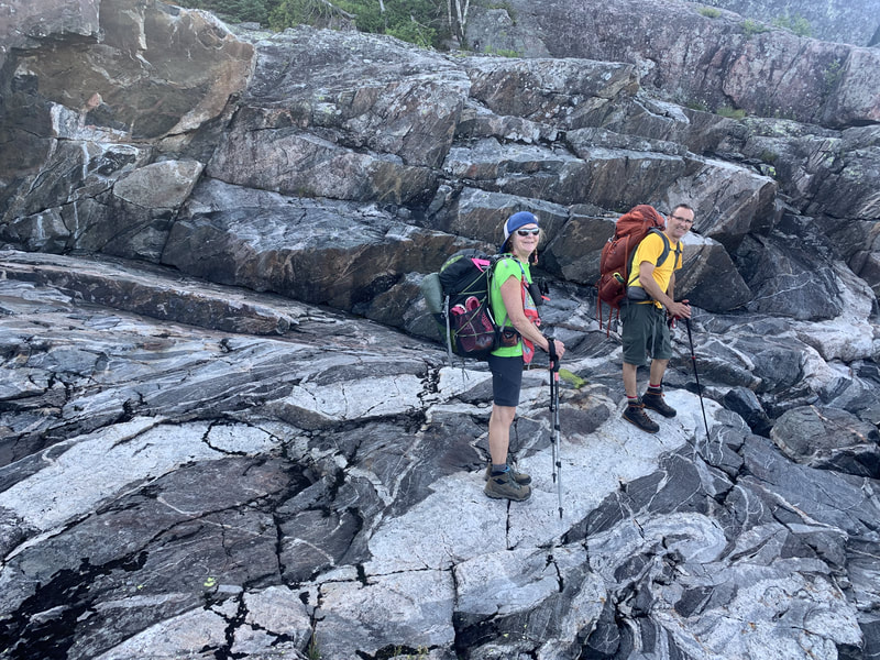
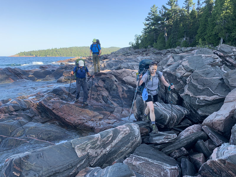
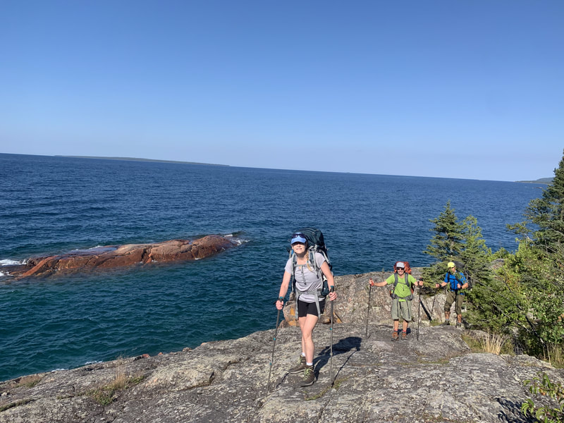
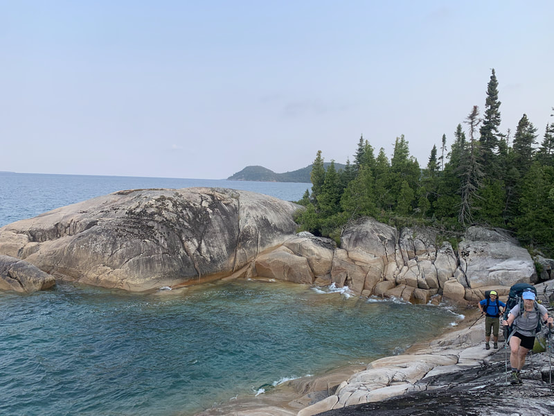
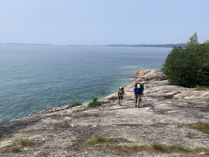
The Coastal Trail is characterized by being rugged and I would agree with this description. From my vast backpacking experience (including the Pukaskwa National Park Coastal Trail just north of this one), this trail is indeed challenging and I would NOT recommend it for beginners. The trail requires good tread on boots, scrambling skills involving hand and feet maneuvers, and confidence with some exposure while on coastal rock drop offs and hopping over rock gaps. I was fortunate to have dry conditions hiking the trail and our entire group agreed that we would not want to be on the trail in wet conditions as it would be very dangerous.
Here is my trip report that took place on Sunday August 15th to Thursday August 19th, 2021.
Day 1: Gargantua to Rhyolite Cove (6km, 900ft ascent, 3hrs, 15 mins)
We woke up at a motel in Sault Ste Marie and travelled the 1.5 hour drive to the Agawa Visitor Centre for when it opened at 9AM. After a quick orientation we got our car permits and found out our originally planned exit was not open and so we had to shorten our trip by a few kilometers. This ended up working to our advantage as we had a long drive back home the final day and we felt we didn't miss out on much.
It takes about 1hour to drive from our exit point at Sinclair Cove Boat Launch to the Gargantua road trailhead. The posted 40km/hr speed limit on the 14km stretch of gravel on Gargantua road is somewhat of a joke, as most of the time you can only drive half that speed while dodging potholes and washouts. It is also a one lane road, so be attentive for drivers coming in the opposite direction to you.
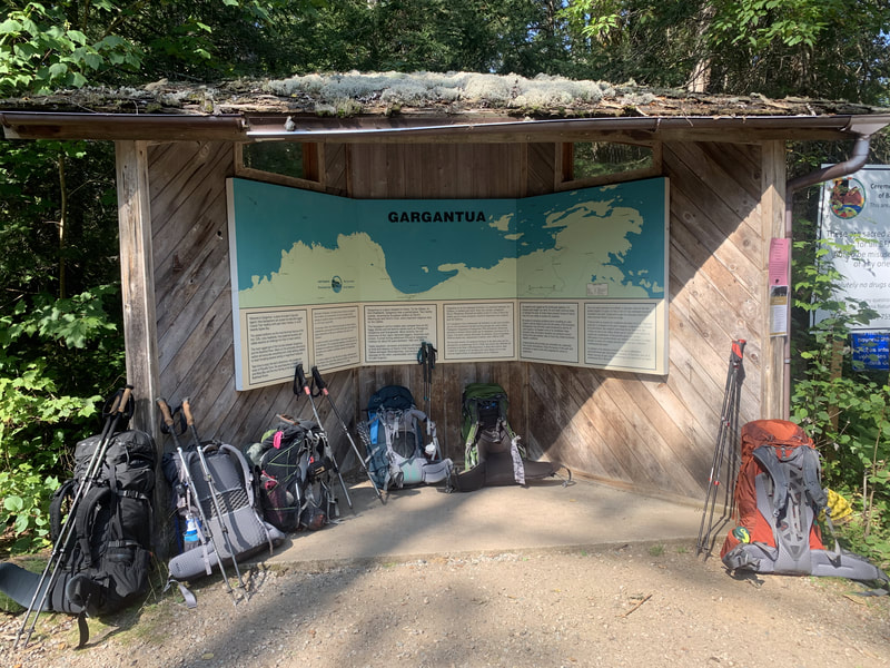
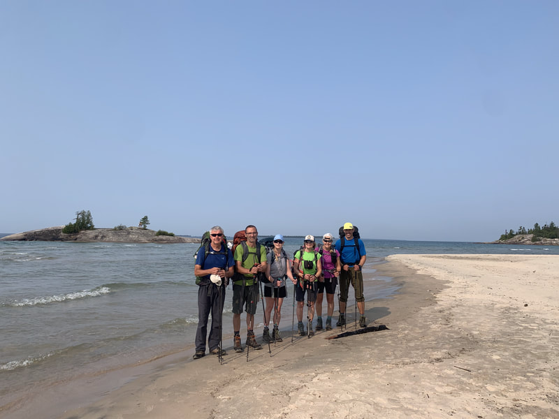
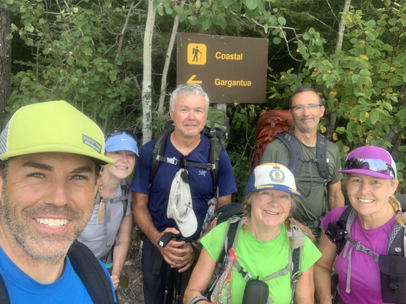
We started the day at 11AM at the trailhead and headed out to Gargantua beach. The coastal trail actually heads north 10km on a easy cart trail but then ends and you have to turn around and re-trace your steps. Most groups skip this out-and-back part of the trail and our group elected to omit it. We headed south and needed to cover 6km to Rhyolite Cove. It didn't take long before the trail turned into what we had read about in other trip reports: steep up and downs, technical terrain requiring exact foot placements and varied mediums such as rooty dirt paths to coastal rock to boulder hopping. There was 1 kilometer that took us one hour to complete! For reference, our group of 6 are all highly experienced backpackers and mountaineers, and have extensive hiking experience in the Adirondacks (most of us are ADK 46ers).
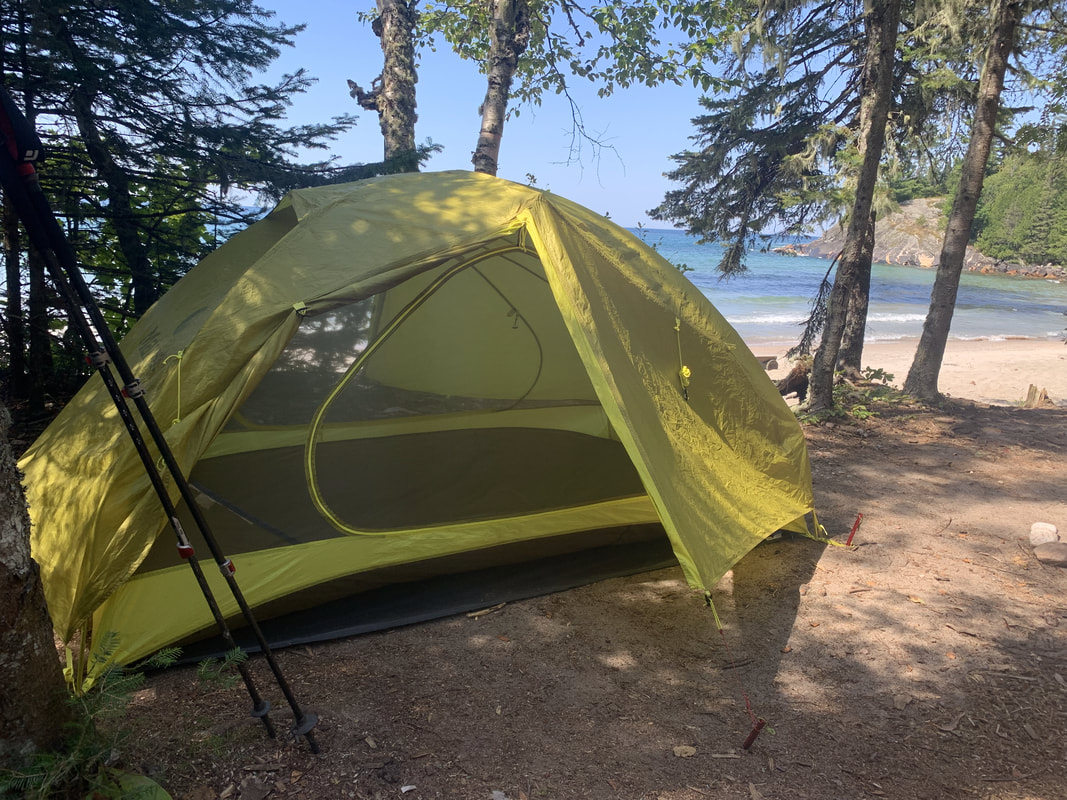
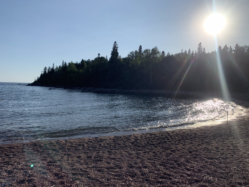
We arrived at Rhyolite Cove in the hot afternoon sun and set up camp on the red shores. We took a welcome dip in the lake and settled in to the rhythms of backcountry camping. In 2021, the park has added bear boxes at some of the campsites along the coastal trail. Rhyolite Cove did have one and despite seeing several more along the way, this was the only site in 4 nights that had one. The rest of the time we hung our food.
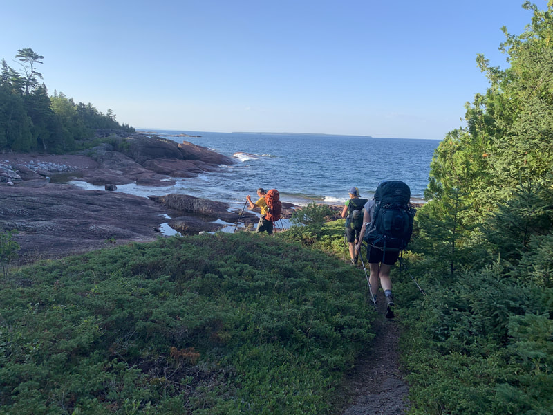
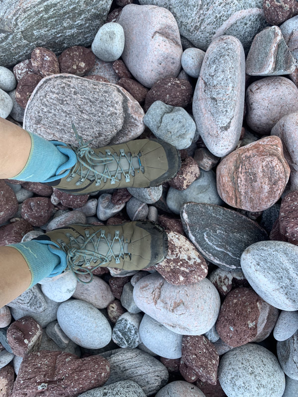
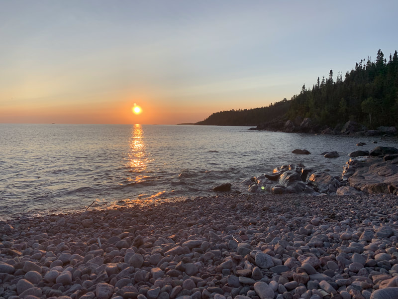
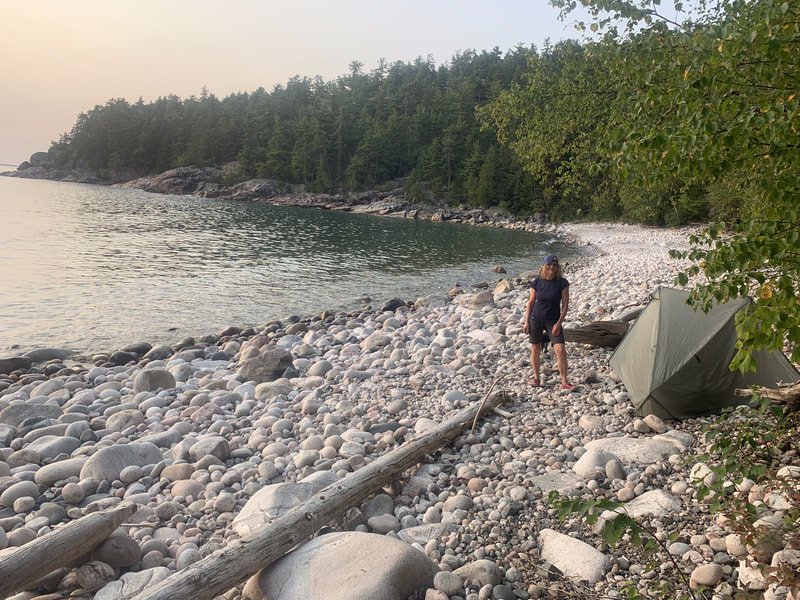
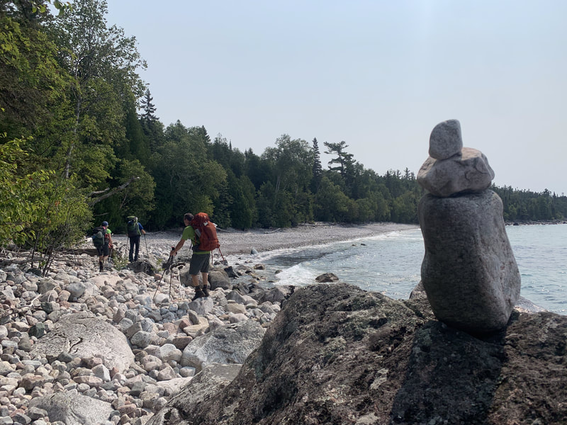
The task for the day was to cover 13.5km of terrain. Reading other backpacker's trip reports, we knew this northern section of the trail was the toughest so we headed out on the trail at 8AM. We met a couple of groups still packing to head out in the first hour or so of the day. Terrain today including numerous coves with large boulders, small pebbles and rounded rocks that looked like dinosaur eggs mixed with some forested trail and rugged coastal rock.
The forecast for our trip was daily highs in the mid-20's (celcius) with a humidex factor around 30C in the afternoon. It became apparent each day that forested areas were shaded and cool but offered no air movement so the sweating was profuse. Out on the coast in the direct sunlight, the coastal environment offered a breeze. What we didn't anticipate before starting was how hot the rocks would get baking in the sun and would radiate heat back on to you like an oven leaving you literally dripping in sweat. Swimming in the lake at the end of each day was one of our top priorities.
The Coastal trail is a marked path. It has two ways of marking: Rock cairns that show the way on the rocky coastline and blue plastic backpacker trail markers on trees where permissable. Given that active hiking requires intensive concentration on foot placements on this trail, were were glad we had 6 pairs of eyes on the lookout for the next cairn or marker. The trail is very well marked if you are attentive - we only made one mistake the entire trip.
The Baldhead River campspot was great - the area is busy with traffic from the Orphan Lake day hiking trail area. I did have cell service both here, Rhyolite and Coldwater but not in the southern sections that were ironically closer to the highway.
Today's stats show how gruelling this section of trail was averaging less than 2km/hr.
Today was an usually short backpacking day (thank you competitive booking) so we decided to take a leisurely pace to start of the day. Two of our group members decided to go fishing up the Baldhead River for an hour and we didn't get on the trail until after 9AM.
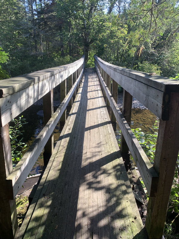
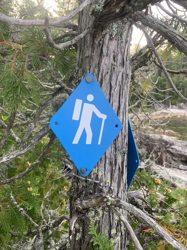
The terrain of the trail relaxes south of here but don't let your guard down as the trail won't let you be inattentive for long. Things still stay interesting and require you to earn your mileage. Today's hike started by walking up to a double bridge crossing of the Baldhead River and then back down to the coast. At the end of the bridge there is a sign indicating a trail left leading to the Orphan Lake loop and then another to the right to send you back on the Coastal trail. Back on the gravel beach we continued along until we saw an obvious trail opening and blue marker. Don't be fooled here...this is part of the Orphan Lake Loop and NOT the Coastal trail. Two of our group members made a mistake here as they had left early due to issue with blisters from the day before. When the rest of the group arrived we made the right navigational decision as we noticed a few things: there is a large trail sign that has it's back to you indicating the Coastal trail stays along the coast as well as a blue hiking sign with a hiker on it without a backpack (indicating a day hiking trail not a backpacking trail) and on the map which we pulled out the trail obviously was not the one we wanted. Don't be duped here!
The Coastal trail continues to the end of the gravel beach (as the trail normally does) and heads up a steep incline over a bump to what I am guessing is the highest point of the trail. As we had extra time, we took some leisurely breaks and were treated to a visit from a Bald Eagle. Descending down off the bump we passed the Coldwater North campsite and scampered off some boulders to a beautiful sandy beach which we assumed was the Coldwater campsites as the river was flowing through the middle of it. This area was busy with day users and we figured out quickly that the campsites on this beach (not marked on the map) were for short overnight trips only steps away from your parked car.
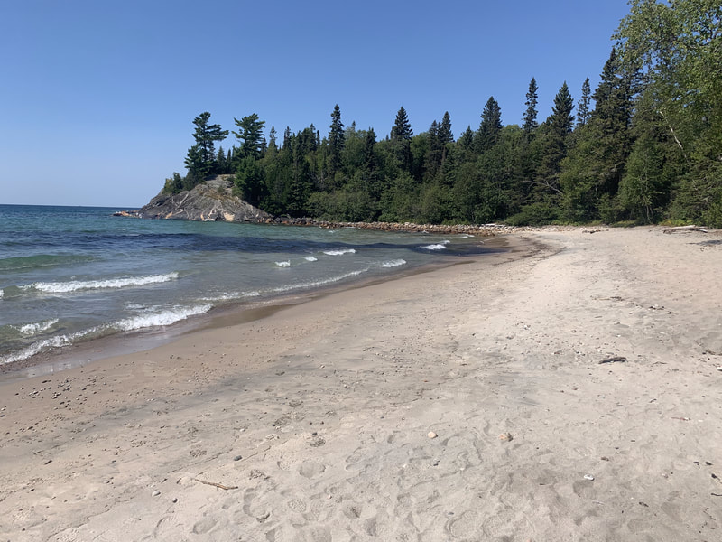
Up over another rocky point we found the Coldwater South sites on a tropical looking sandy beach. We arrived early and took advantage of the sandy cove bottom and lake water to cool off in. Our group that had gotten off track met up with us here.
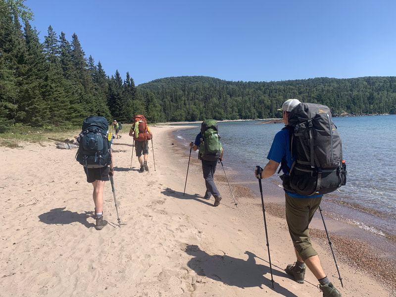
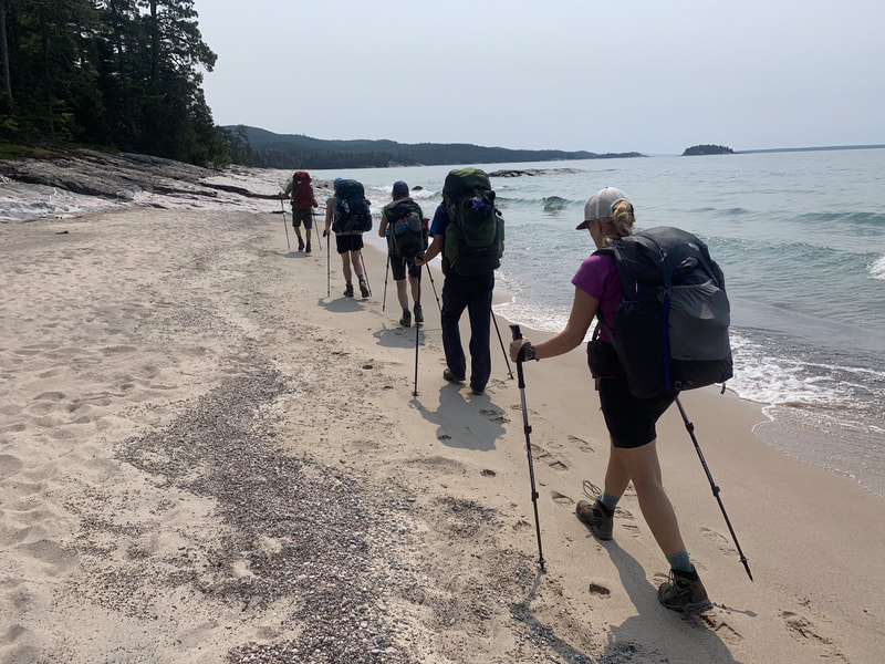
Knowing Day 4 would be the longest on the trip, we left our favourite campspot just before 8AM. We started off the day tackling some coastal boulders and rocky coastline that occupied us for the first hour or so. Passing by a family camping at the picturesque Robertson Cove we found ourselves soon entering the easiest section of the trail at Katherine Cove. Here the trail is again beside the highway and has day use parking areas for it's sandy beaches. We found a young family already swimming in the mid-morning. The forested trail here is fairly easy going and soon after we were in another section of sandy beach and we could see the popular bathtub island. We made some good time through this section of sandy beaches and dunes. We took the path up to the highway to cross the bridge at the Sand River which was under construction and down to one lane which provided some sketchy running over the bridge to beat traffic.
Down to the shoreline again, we entered some coastline and flat forested trail before popping out onto the Barrett North campspots. By now it was early afternoon, around 1PM when the heat started to get oppressive. We met a couple here new to backpacking who wanted lightweight backpacking tips as we passed by. The Baldhead beach was beautiful but the heat intensity was strong and we were dying to get out of the direct sun and back in the forest. Looking at the map and knowing were past Barrett South, the map shows a maximum of 500m to Barrett Island campsites, our destination. This is where things get tricky - the trail undulates in and off the coast and up and down so many times that it was a few kilometers in distance travelled. We walked on the hot coastal rock and finally found our home for the night on a rocky beach. The Barrett Island campsites were not big enough for our group's two 2P and 2 1P tents and one of our group members had to pitch a tent on the rocky shore. We generally weren't impressed with the camping in this section.
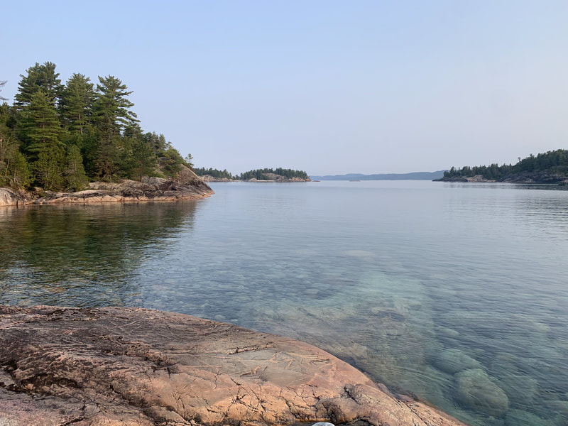
Today's hike started at 8AM again not knowing if the distance travelled would be 1km or more. It was more but only took an hour. Today was the only day the air was still and there was no wave action on the lake. The haze in the sky seemed to be caused by nearby forest fires but the turquoise clear lake water was stunning. We enjoyed our final hour of hiking through mossy outcroppings and a final group celebration at Sinclair Cove.
Back at the car, the shuttle took 2 hours to complete. In the meantime, the two of us left at the cove checked out the pictographs and chatted with visitors.
The Coastal trail will be remembered as Ontario's hardest backpacking route but also the most scenic. I was happy to report my fitness met the challenge and my gravitation to lightweight backpacking gear paid off. My pack weight at the beginning was 26lbs!
Trail stats:
Gargantua to Sinclair Cove: 44 km
Ascent: 5474 ft ascent
Hiking time: 24.5 hours
Moving average 2.9km/hr
Overall average including lunch and breaks: 1.8 km/hr
lakesuperiorcoastaltrail.gpx
 RSS Feed

