
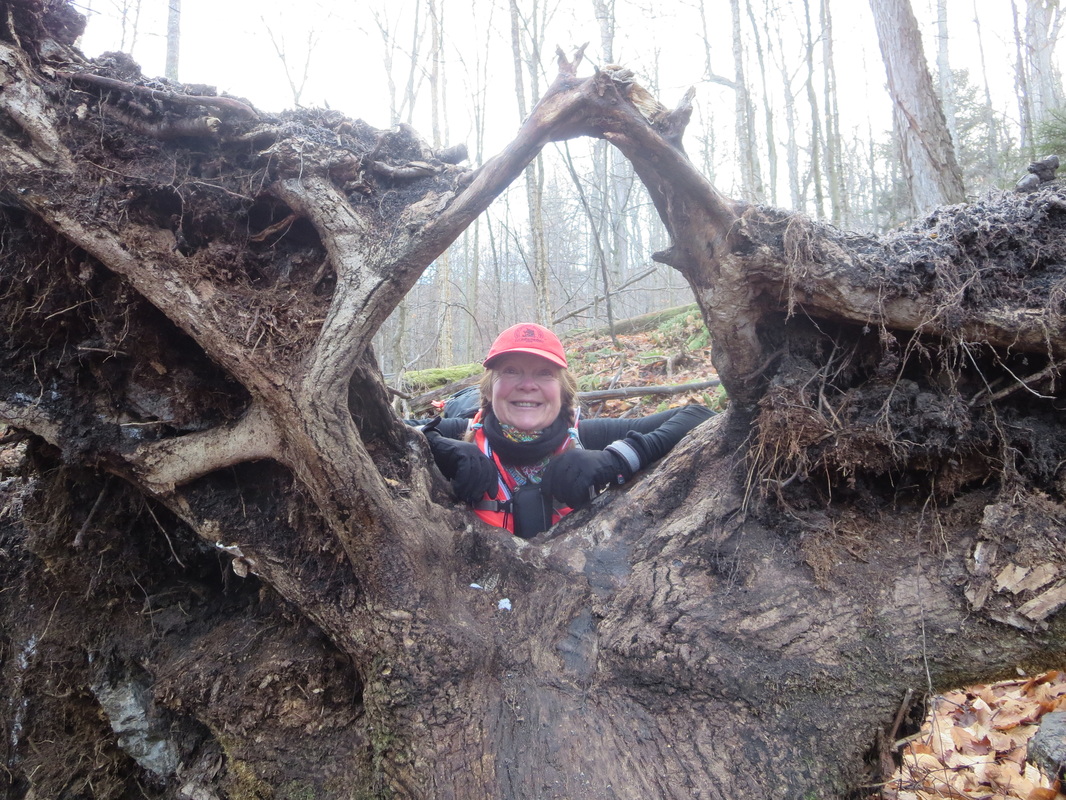
Allen Mountain is one of the 46 peaks that stands higher than 4000 feet in New York State. Standing at 4347 feet, it is one of the Adirondacks most isolated mountains. As a mountain on infamous ADK 46er list, it is normally hiked by hikers pursuing the goal of ascending all the high peaks.
There are two normal approaches to summit this mountain and I have done both. The first is from the Flowed Lands camp spot (a 23km/14.3 mile hike with 4100') which I first hiked back in 2012, or from the Upper Works road which we chose to do on this day March 31st, 2018.
Allen Mountain Stats from Upper Works Road:
Distance: 30km/18.6miles
Total Ascent: 4062 feet
Time: 10.5 hours (March 31st soft snow conditions)
.gpx file
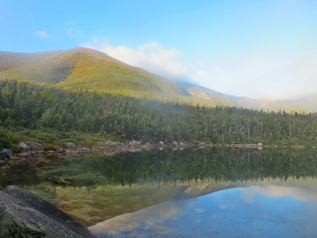
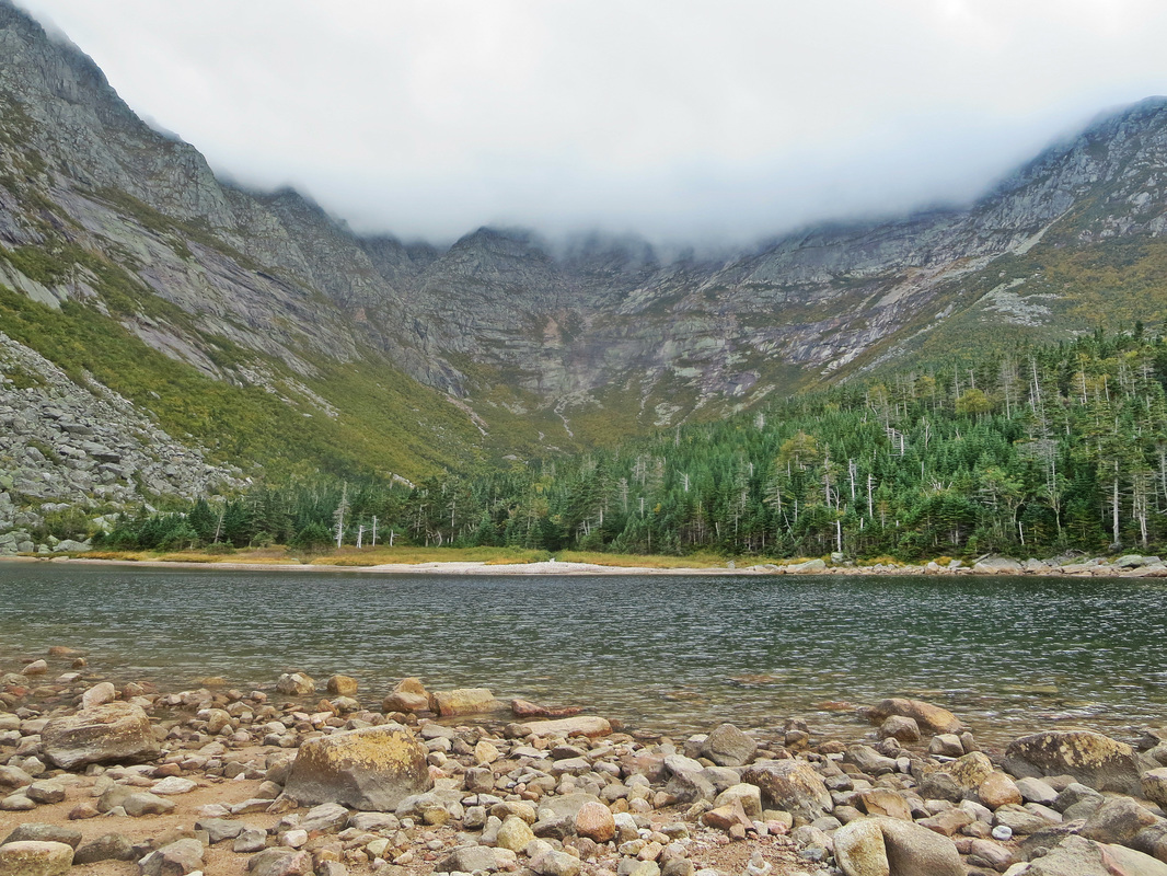
Within a few minutes of leaving the parking lot you cross the Hudson River over a rickety metal bridge. Soon after, you will hit Jimmy Lake. Commonly crossed in the winter months as a shortcut, we decided on March 31st, 2018, that the water pooling on the top of the ice meant that we shouldn't chance it and take the 0.5km/0.3mile detour around the lake to get to the other side. Soon after you will pass the turnoff to the McAdam's Fire tower hike and then you travel on flat trail passing a few lakes on your right. At the 4km/2.5mile mark, you get your first glimpse of Allen when passing a small swamp.
There are two normal approaches to summit this mountain and I have done both. The first is from the Flowed Lands camp spot (a 23km/14.3 mile hike with 4100') which I first hiked back in 2012, or from the Upper Works road which we chose to do on this day March 31st, 2018.
Allen Mountain Stats from Upper Works Road:
Distance: 30km/18.6miles
Total Ascent: 4062 feet
Time: 10.5 hours (March 31st soft snow conditions)
.gpx file
Within a few minutes of leaving the parking lot you cross the Hudson River over a rickety metal bridge. Soon after, you will hit Jimmy Lake. Commonly crossed in the winter months as a shortcut, we decided on March 31st, 2018, that the water pooling on the top of the ice meant that we shouldn't chance it and take the 0.5km/0.3mile detour around the lake to get to the other side. Soon after you will pass the turnoff to the McAdam's Fire tower hike and then you travel on flat trail passing a few lakes on your right. At the 4km/2.5mile mark, you get your first glimpse of Allen when passing a small swamp.
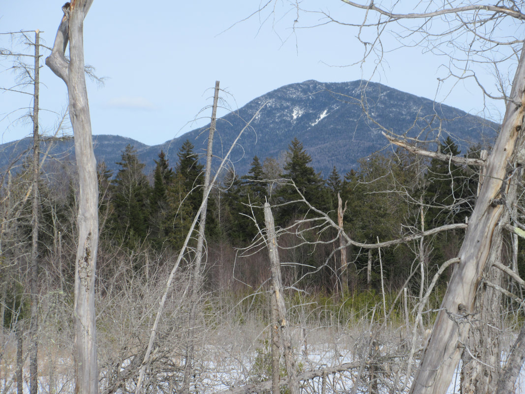
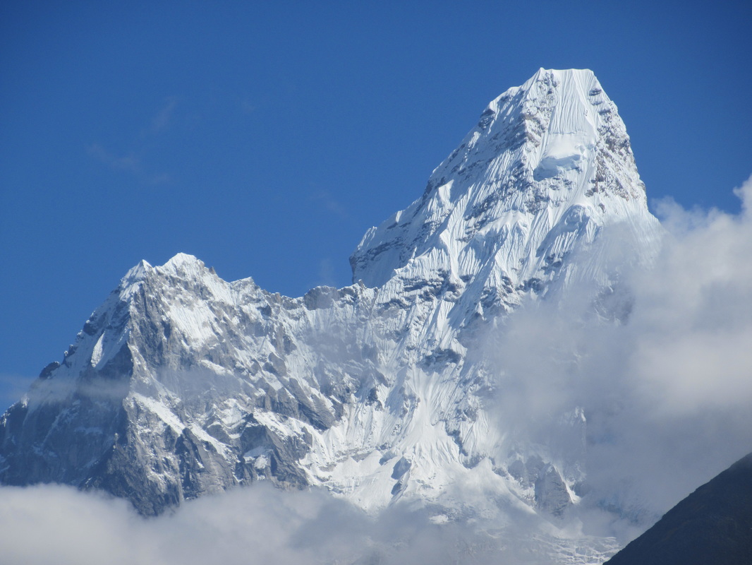
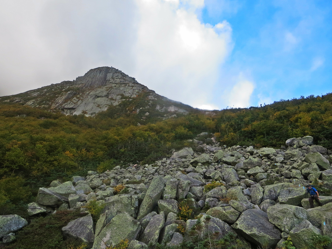
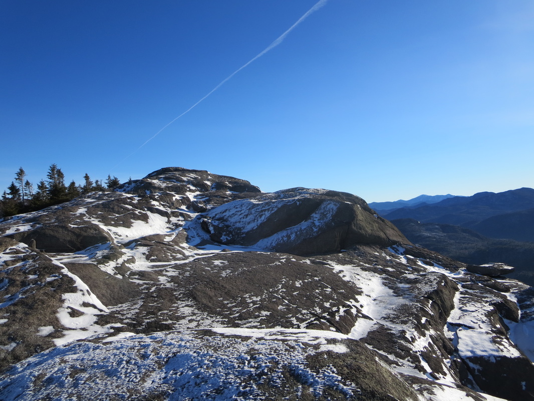
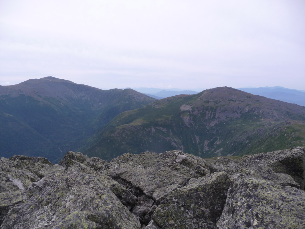
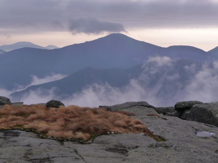
Zoomed in photo of our objective: Allen Mountain
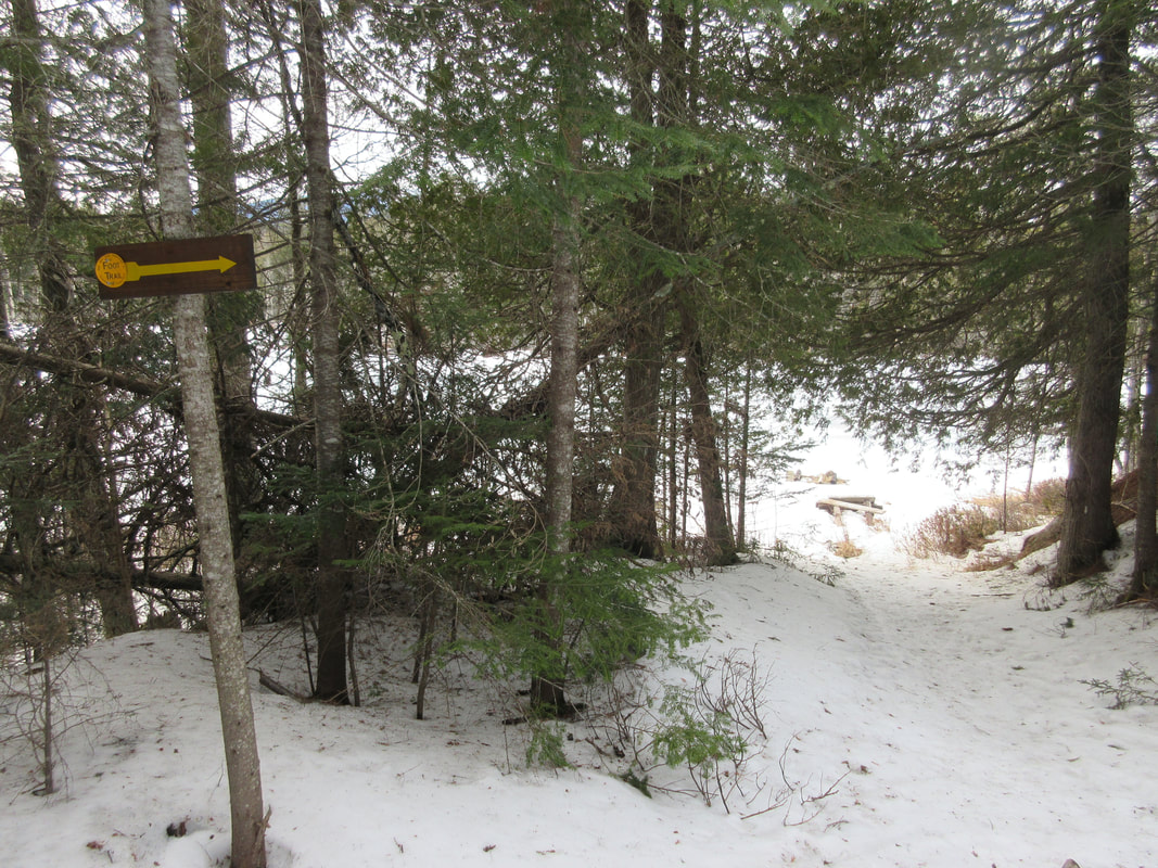
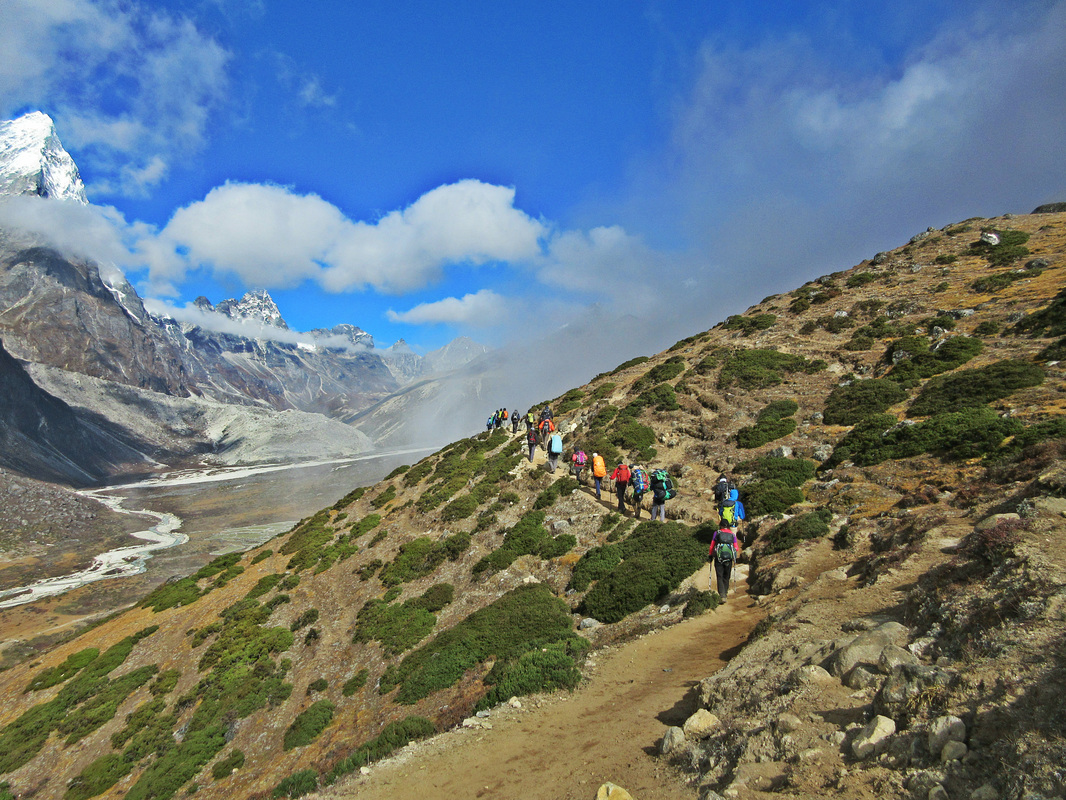
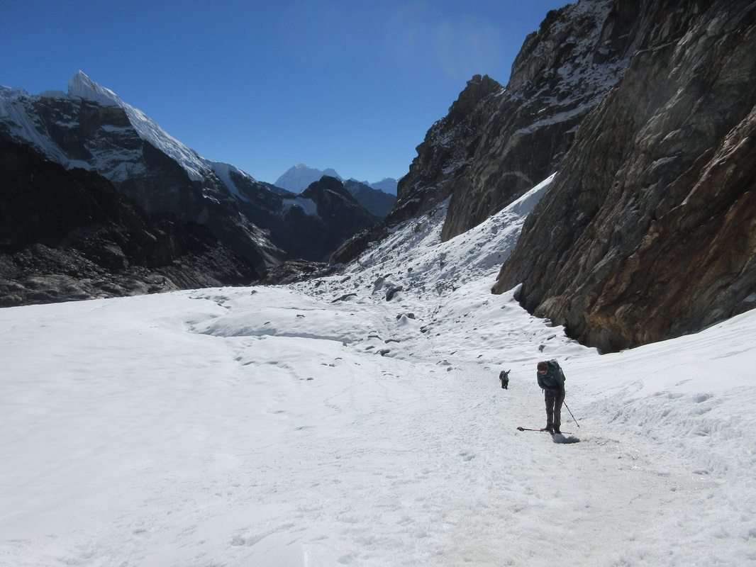
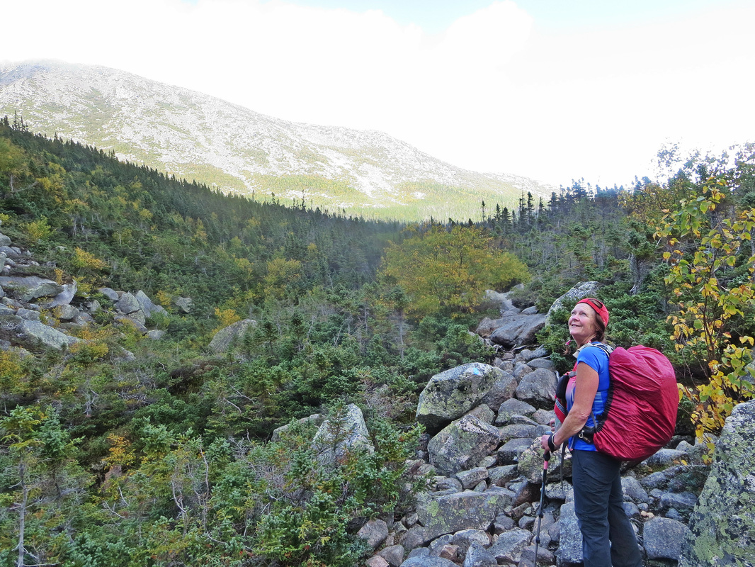
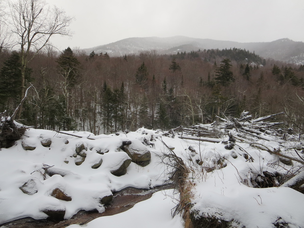
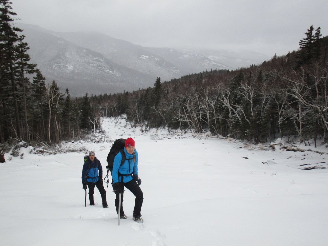
Marching along flat trail, one begins to handrail the Opalescent river on the right. Eventually you will come to a newly constructed bridge crossing (after the old bridge was destroyed by flooding in 2011). Crossing the bridge, you finally begin to gain your first bit of elevation for the day but only a couple hundred gradual feet. At the 8.5km/5.3mile mark you hit the turnoff junction to the herd path. This turn off is fairly obvious with signs pointing towards Allen (right) or Marcy (left). Only .5km/0.3miles later, you cross a gravel road and see a clearing turn right here and head towards a second register that signifies the beginning of the true herd path towards Allen. From here it is 6km/3.4miles to the summit. The trail immediately begins to rise and the terrain crosses a few small streams and brooks. The rolling terrain continues until reaching the Skylight brook. From here, the terrain consistently climbs heading upstream along Skylight brook.

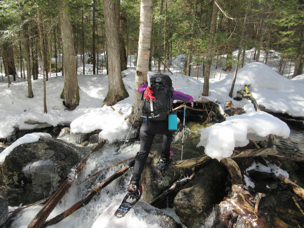
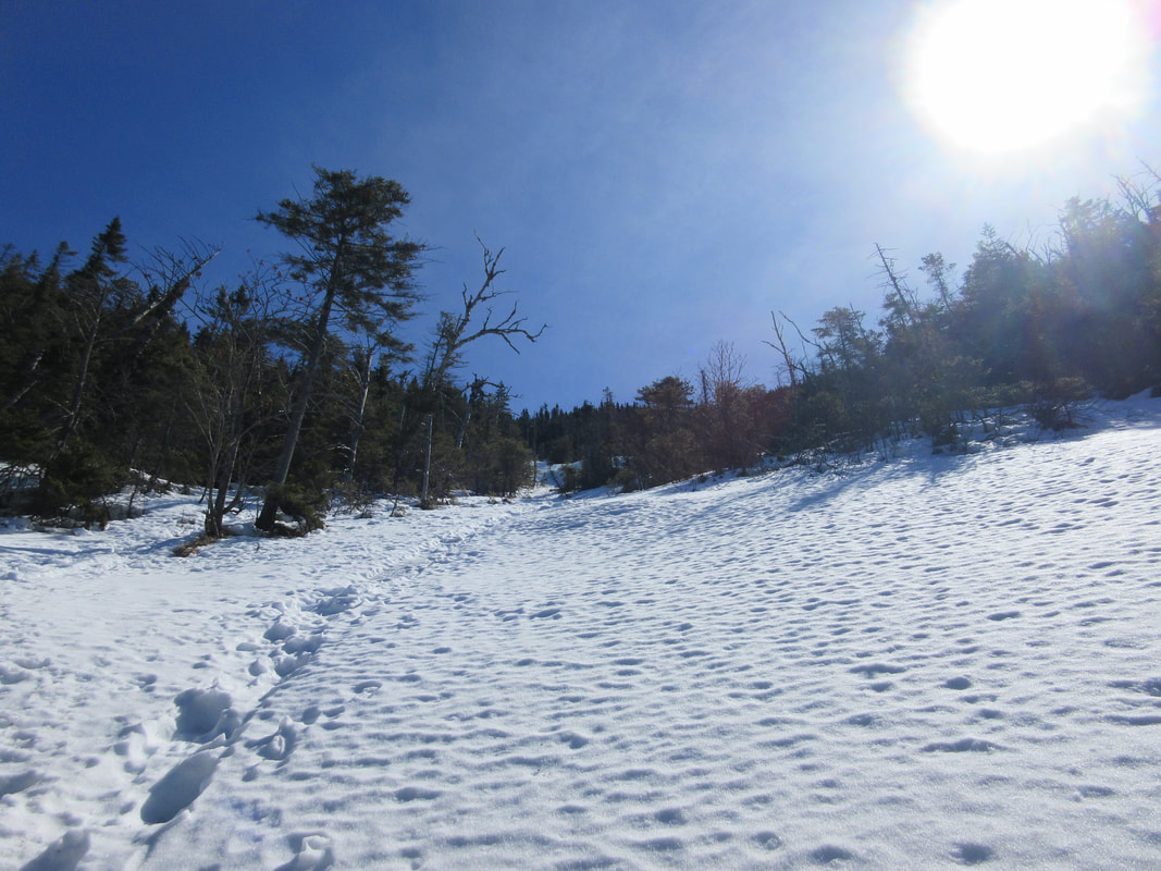
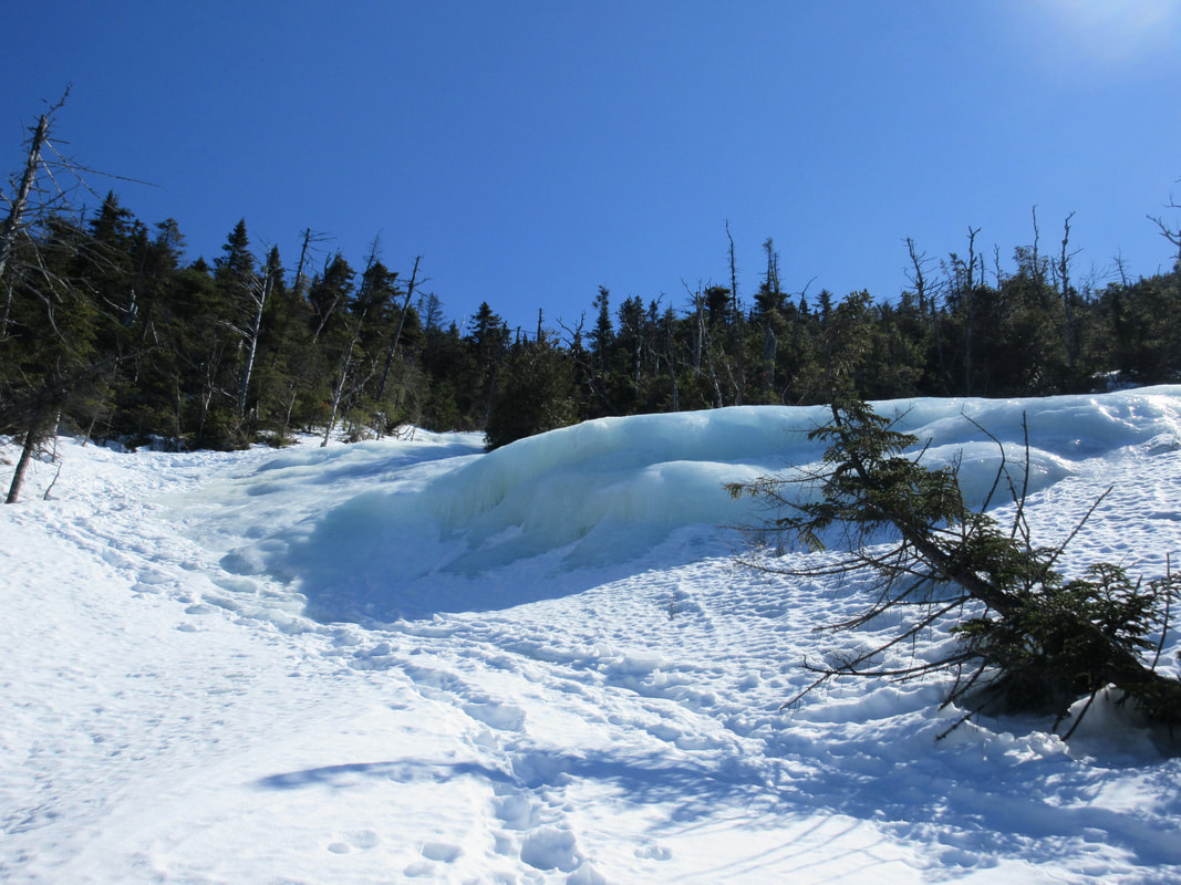
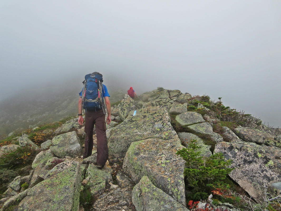
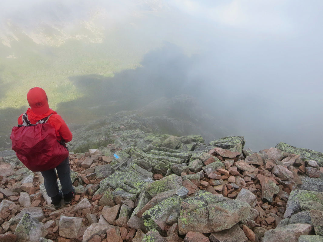
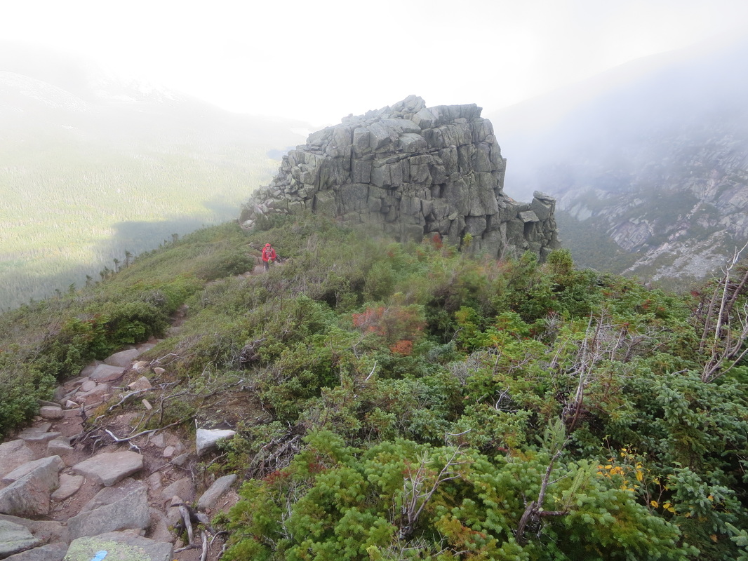
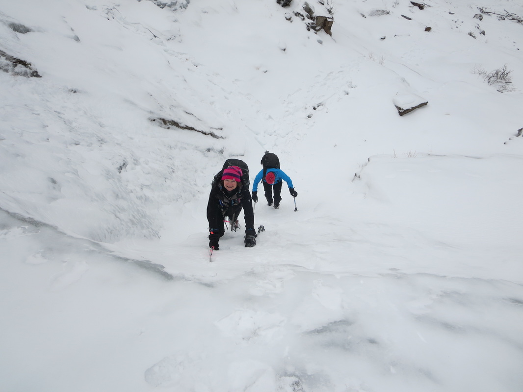
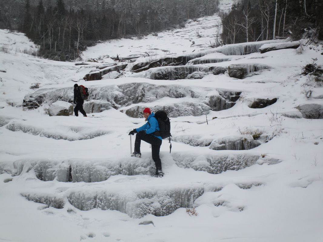
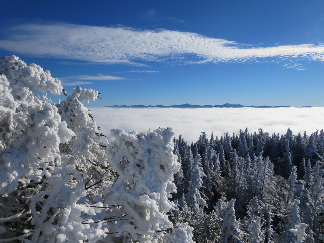
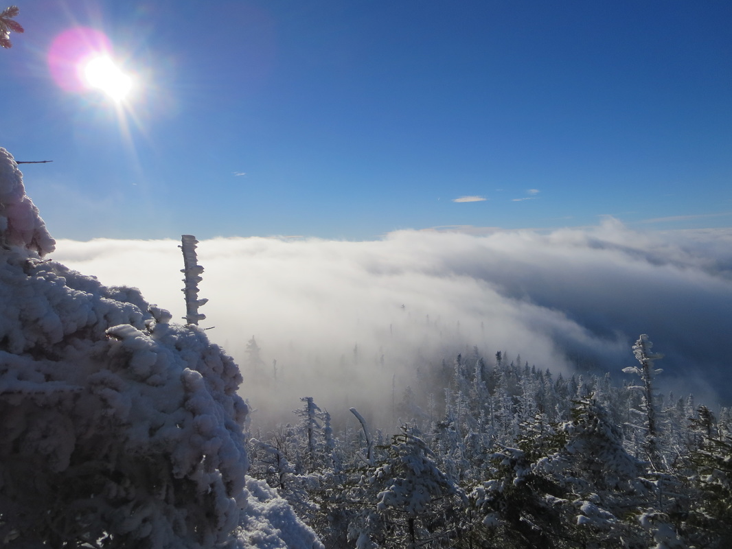
As your heart begins to beat rapidly, the sounds of the Skylight brook fade as the trail trends to the right. All of a sudden it hits you. The Allen brook drainage and the beginning of the steep slidepath. The terrain here rises steeply for about 1500' meandering in and out of forested areas and up and over downed trees. The trail trends on the right- hand side of the slide and in the winter climbs over snow and ice in the open areas. The icy areas may require the use of crampons and ice axes, so come prepared. In the summer, red algae can cover the exposed rock making passage slippery. Be warned!
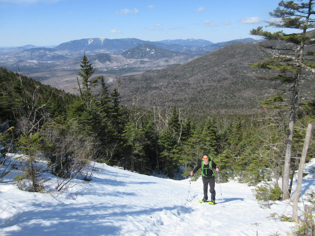
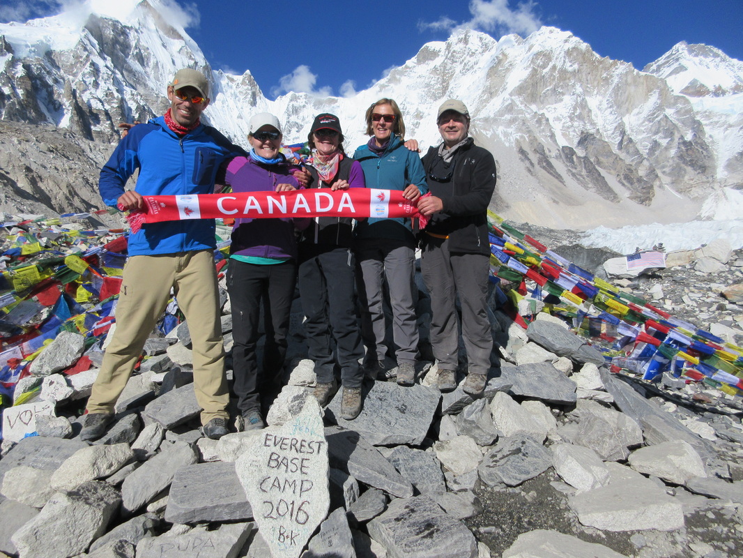
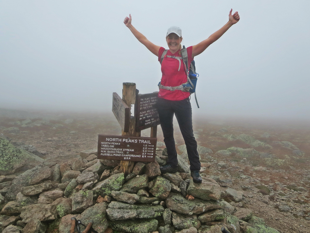
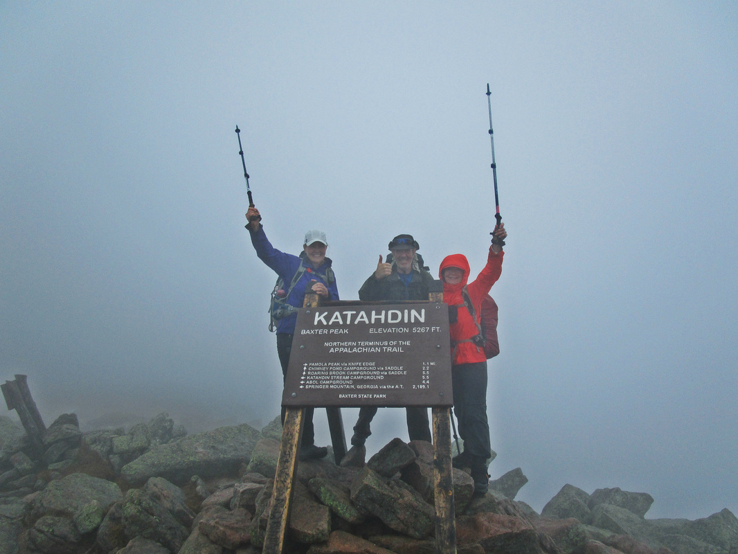
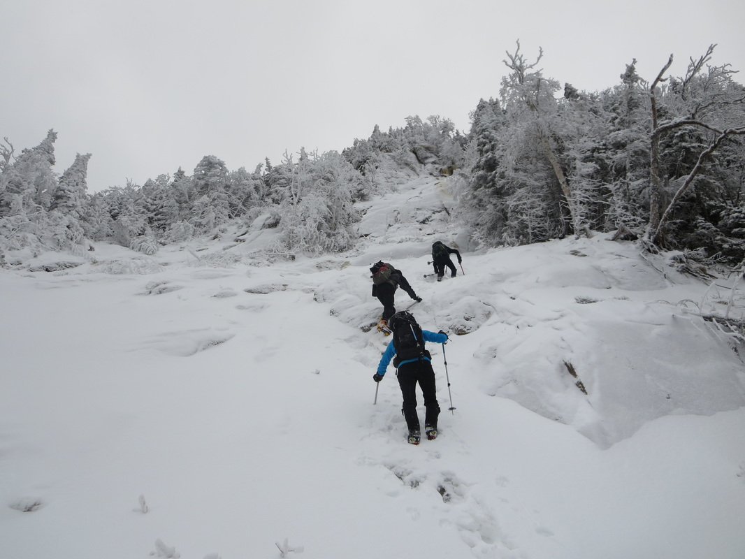
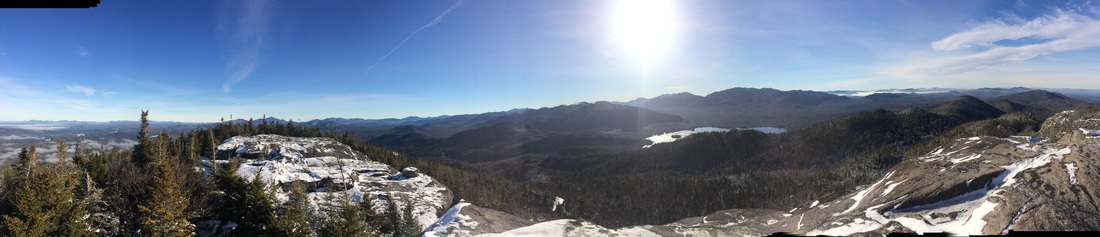
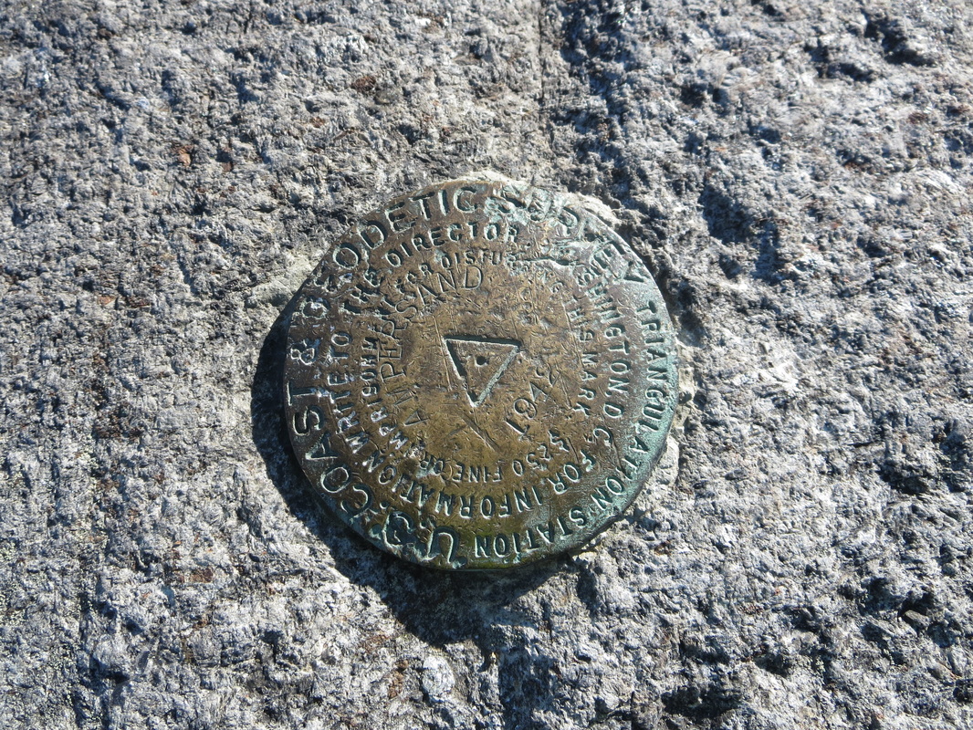
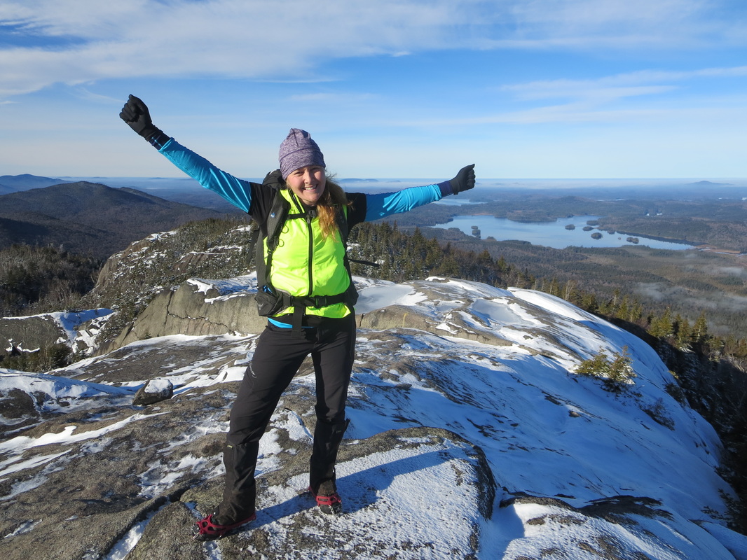
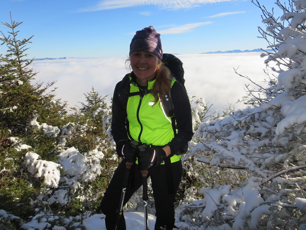
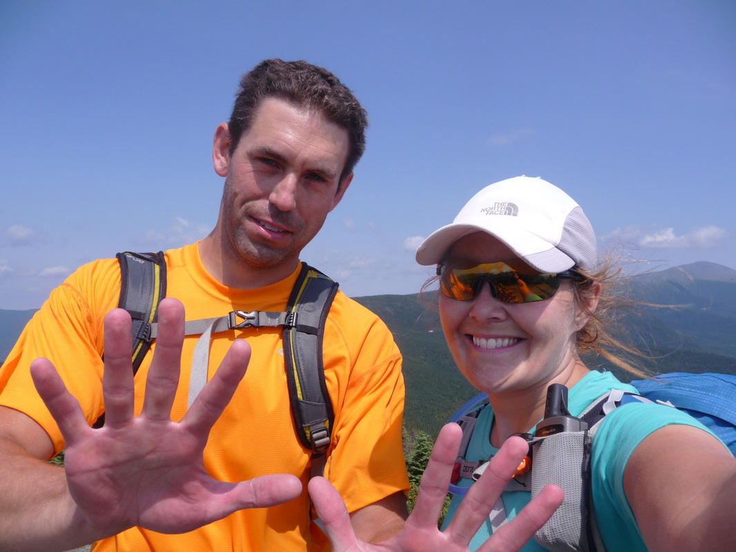
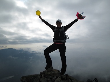
Finally reaching the top of the slide, your body has now broken into a total sweat and you welcome the relief of entering the shady forest trees once again. Thinking the summit may be near, the final 500ft of climbing is very steep and will make anyone's heart pound hard. You know you are near the end when the terrain finally flattens out for a moment before making a final short rise one last time to reach the summit proper. Both times I have been on Allen there has been a summit sign and a protected treed area to enjoy a well deserved break. Today we had a special reason to celebrate summit success on Allen: My husband Glenn's 46th summit finish! He is now a ADK 46er!
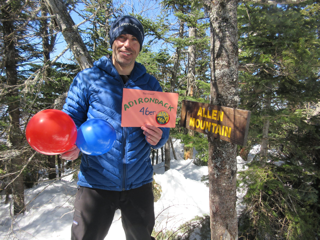
Glenn's 46th High Peak Summit!
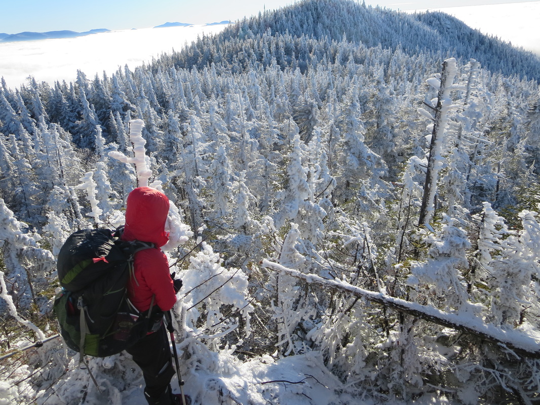
No time to linger on this hike... another 15km/9.3miles await you on your descent and way out. The steep slide section requires attention and precise footing as does the brook crossings in early spring. Soft snow requires the use of snowshoes and skis could be uses for the first leg to the Opalescent bridge and back if conditions allowed. By the time you return to your car you will have known you have completed another good day out in the Adirondacks! Allen is the most isolated peak in the Adirondacks and can't be combined with any other peaks. The challenge is the long approach combined with a steep ascent making for a long-ish day depending on what time of year you chose to tackle it. Good luck!


 RSS Feed


