
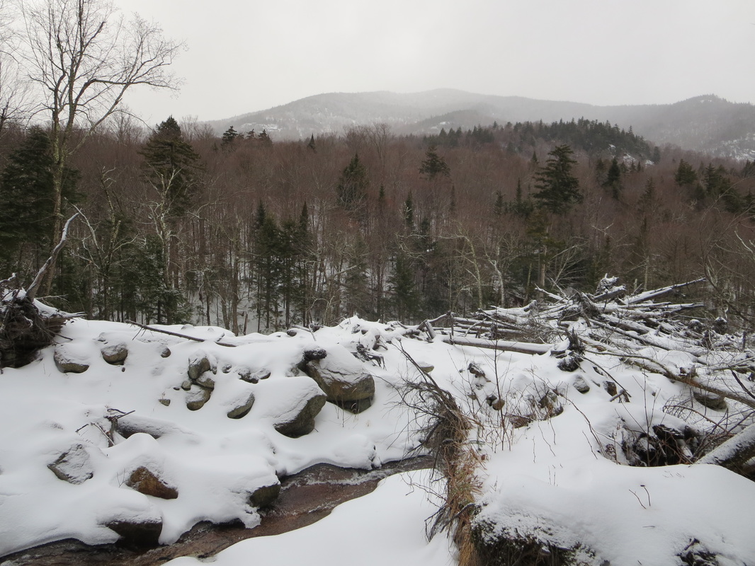
Bennies Brook slide on Lower Wolfjaw Mountain near Keene Valley, New York was created by Hurricane Irene back in late August 2011. This moderate grade 'slide', as they are called in the Adirondacks, is essentially a wide path created or enlarged by a intense weather event and the steep topography (avalanche, mudslide etc). For adventurers, it's another way to summit the 4173ft/1272m peak of Lower Wolfjaw. The slide path climbs 2000ft/609m and finishes close to the summit.
With the late arrival of winter in 2015, we chose this moderate objective because the snow and thin ice cover left steeper slide objectives out of the question. Our group members were all well equipped with the proper equipment for the winter conditions we were facing (crampons, ice axes, etc), and we all had previous training and experience with mountaineering.
The most popular way to approach the slide is to park at the Garden parking lot outside Keene Valley and use an abandoned trail to get to John's Brook. After reaching the brook, you simply cross it by rock hopping, then walk along the Southside river trail and reach the base of the slide an hour or so later. Unfortunately today John's Brook's river flow was too high to cross with the recent snowfall and rain, so we had to return to the main trail to the John's Brook Lodge area and cross the bridge and then having to backtrack about 1km. In total, this probably added about 1km/0.6miles to our day. Temperatures were slightly above freezing at the base and slightly below freezing at the summit.


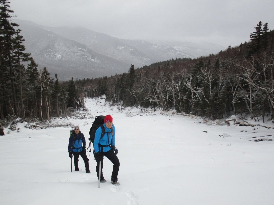
The base of the slide is littered with tree debris. On December 31st ice was emerging and the ground was snow covered. We began up the first steep pitch to access the main slide path. Snow made the ground grippy, and movement was similar to hiking a trail.
The lower sections of the slide were fairly easy to walk without traction devices. As the slide path's ascent angle increased we darted into the trees on the side of the slide (climber's right) and took a short break out of the wind to fuel up, put on crampons, and get out our ice axes.
The lower sections of the slide were fairly easy to walk without traction devices. As the slide path's ascent angle increased we darted into the trees on the side of the slide (climber's right) and took a short break out of the wind to fuel up, put on crampons, and get out our ice axes.

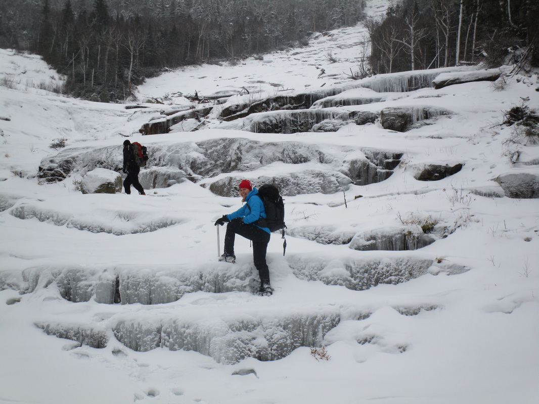
The upper half of the slide posed a number of ice covered ledges about 2-12 feet in height. Most of these ledges or slabs forced our bodies to have all four limbs contacting the surface for various lengths of time. On this day there was enough ice on the rock that we were able to front-point our crampons and swing and stick our mountaineering axes to ascend the ledges. Easier ascent paths could have been used along the edges of the slide, but as ice climbers and mountaineers eager to practice a variety of skills, we generally chose the most sporting route up the middle.
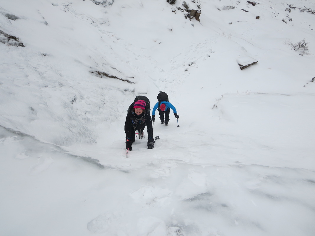
The difficulty of these ledges with this equipment was easy. Falling was only mildly consequential and we all commented on how much fun the ascent was. The last and steepest 20ft pitch of rock just under the summit could however be consequential. We chose to exit just below this section because of the thin ice and snow cover, our exposure, and lack of harnesses, rope, and protection devices. This section could be climbed under different conditions.

With about 150ft to go below the summit, you need to bushwhack for approximately 2 minutes onto the main hiking trail exiting the slide on the left. After 5 minutes of hiking on the main trail, you reach the main summit area. You can then choose to exit the summit on one of three different hiking trails. On this day, we chose to descend via Roostercomb Mountain back to Keene Valley, and avoid a slushy 5km/3mile walk back to the Garden. Our competent group thoroughly enjoyed this winter ascent and would return to repeat it in the future either as a summer hike, a touring ski (with descent back down), or another winter light mountaineering ascent. A fantastic moderate slide and highly recommended.
Our day finished with 17.5km/10.5miles, 3900ft/1200m ascent, in 8hours.
Our day finished with 17.5km/10.5miles, 3900ft/1200m ascent, in 8hours.
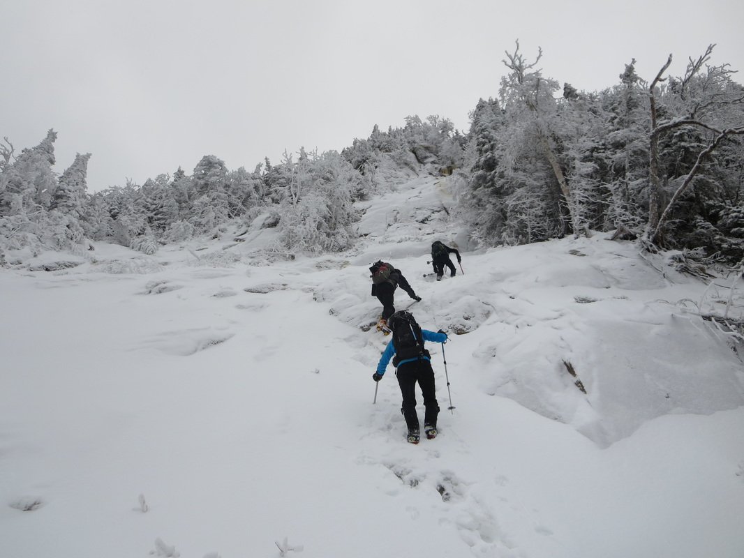
Bennies Brook Slide top section. We exited on the left just above where the highest person is in this photo.
 RSS Feed


