We started our walk in past the gate on the logging road and started up the AT to South Crocker. A short 2.1 mile ascent starts gradually to the campsite area, then steepens up and then relaxes a bit again before the summit. The ground and rocks on this day were pretty saturated still from the rain 2 days ago and the the sky was still quite cloudy and the air was humid. Sweat dripped off us pretty fast on this day and so we took of our hats and kept our brisk pace going. We passed a slower group of 3.
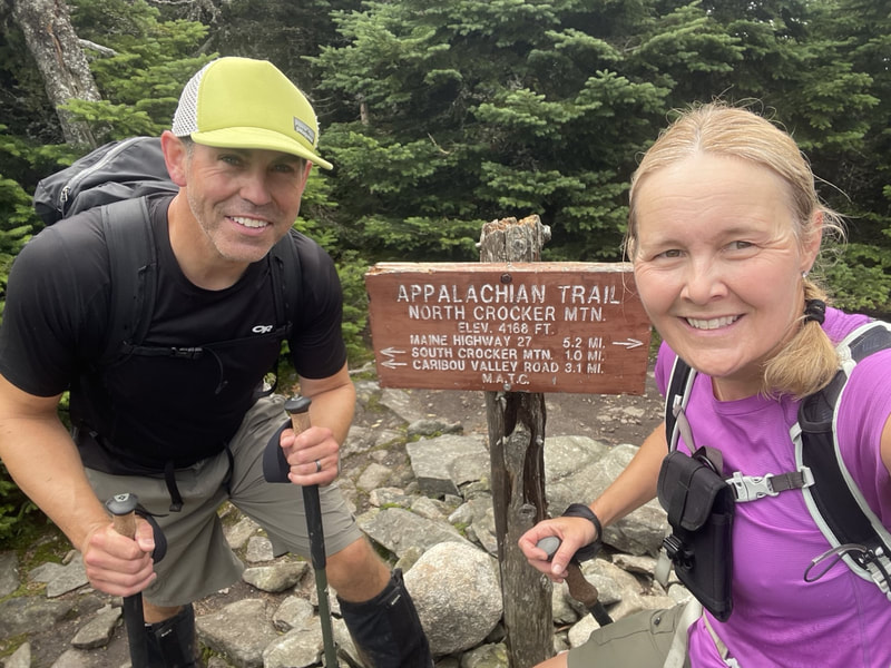
We reached the summit of South Crocker but turned right immediately and headed to North Crocker. A couple of fast AT hikers passed us (2 young guys) who seemed to be having a great time. A sizeable descent insued on some looser rock and then up again to the treed summit of North Crocker. We sat down here for small lunch break and summit photos.
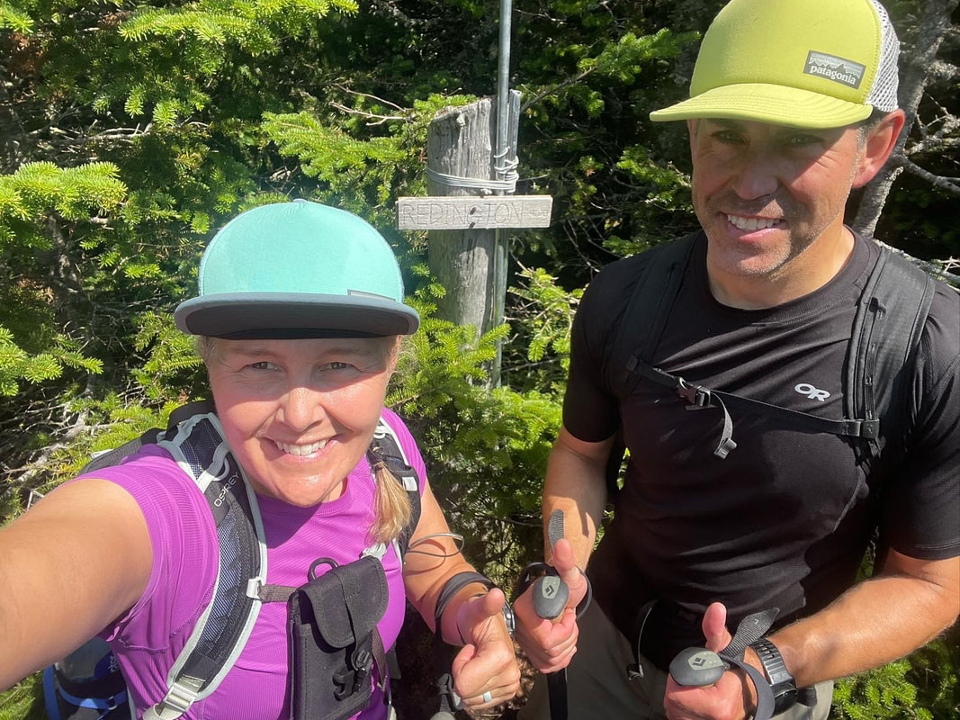
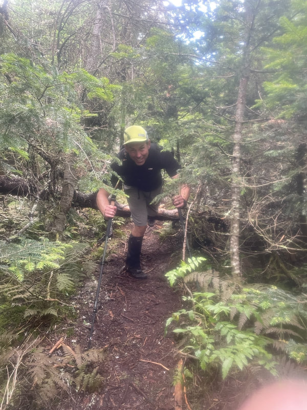
Back down the trail we just came up and back up to South Crocker, we went over to the viewpoint and summit area to see a glimpse of the ridge we were on yesterday in the distance. Clouds were starting to part and the sun was beginning to shine. Here we took a couple of photos and then pulled out the map and compass to get ready for our unmarked trail hike over to the third 4000 footer of the day, Mt Redington. We found the flagged herd path off the summit of South Crocker and headed down. In other trip reports, this trail was described as bushy and hard to follow. On our day, it was pretty nice most of the time with some really minor overgrown conifer areas. The flagged trail was pretty well defined and there were only a few logs to climb over and under. I found it better than most ADK herdpaths. We hit a logging road part way and turned left, then right at the cairn. We took a lovely ascent trail up to the Redington summit where we met 3 others on their descent down. We found the summit and the small wooden sign on a treed summit with a small view. The sun had come out and with a large area with nicely placed logs, we took some time to eat another snack and drink some water. Now about 10km in, we had to decided if we wanted to re-trace our steps back to South Crocker and take a shorter way out or take a longer alternative route on logging roads out. We chose the latter.
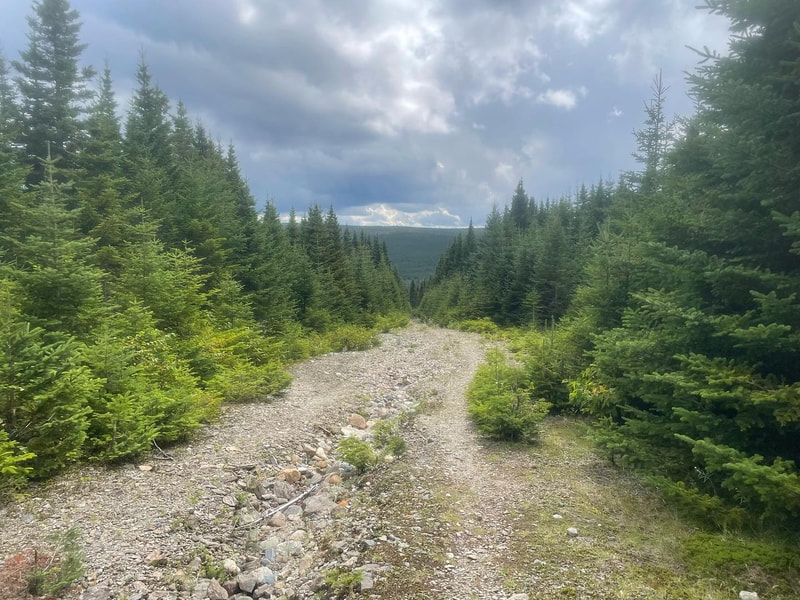
On the descent from Redingtion there is a junciton part way down before returning to the logging road and cairn from the ascent. We turned right here, and took a lovely knee friendly dirt trail ramp through thick forest. It linked us up with a logging road and we followed the flags out to Caribou Pond and back along the river back to the car.
Stats:
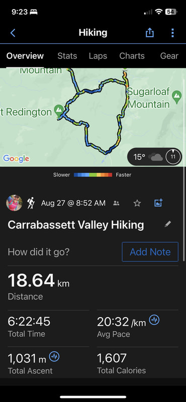
Distance: 18.64km
Elevation: 3300ft
Time: 6 hours 22 minutes

 RSS Feed


