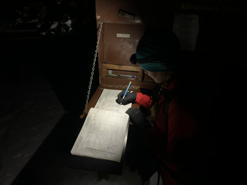
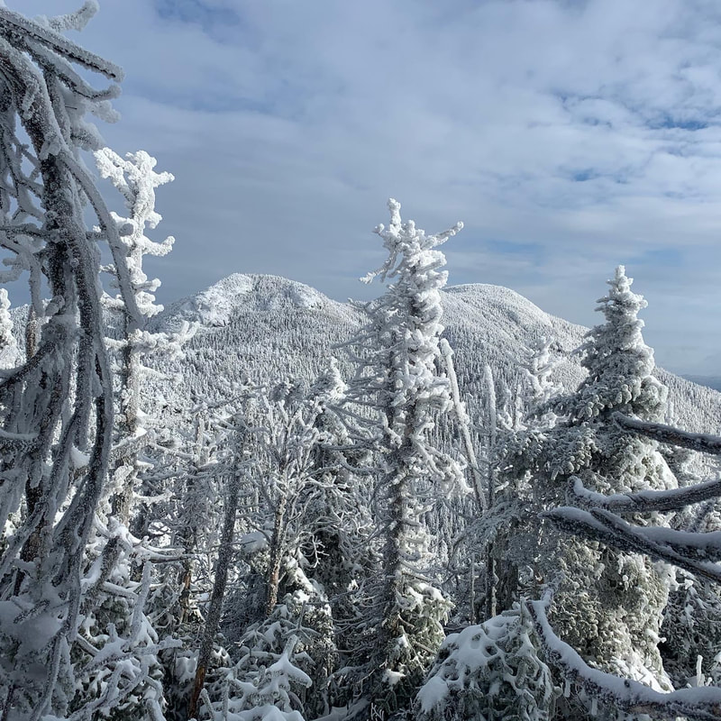
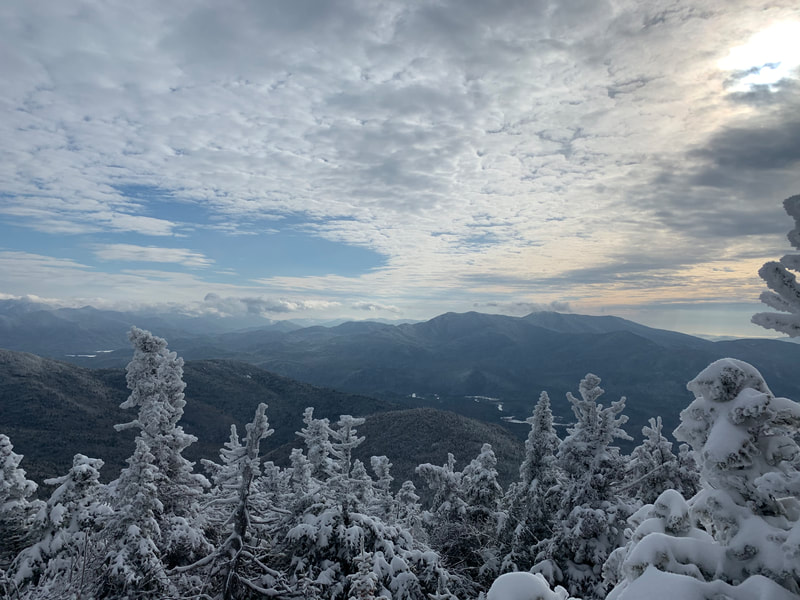
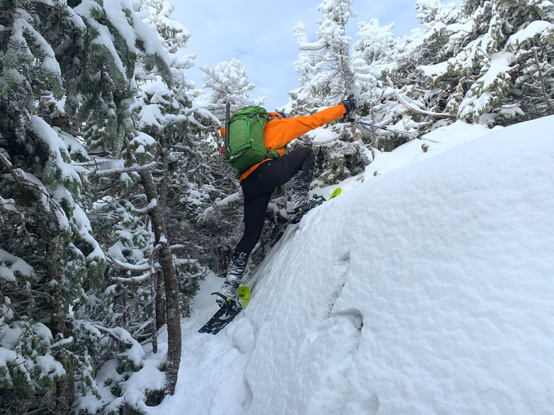
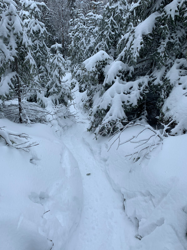
We were lucky to be able to drive into the summer trailhead parking lot on this day and the Subaru was able to drive through the snow on Corey's Road no problem. Parking at the winter lot adds an extra 10km to your hike day, one that we wanted to avoid. We arrived at the trailhead parking lot at and signed in at the register before dawn at 6:45AM. With the recent snowfall we were hoping to xc ski into the Caulkins Brook turn off but there still was too many open drainages and downed tree fall. A friend of mine had been in to do this range 2 days prior but there was little to no snow in the range. How conditions can change in a day! We left the trailhead with microspikes on our feet and snowshoes on our back and hammered down the trail. We noticed a plethora of deer tracks and scrapes in the snow and then out of the blue two deer ran by us. We got to the junction just as light started to peak over the ridge and we took a quick break to turn off our headlamps and take a sip of water. The next leg of the journey is hammering down the wider double track horsetrail to the Caulkins Brook cairn and turnoff. About a minute before the turn, another solo hiker caught up to us and mentioned that he had found one of Glenn's 'past-it's-prime' microspikes. Glenn looked down at his feet and realized he had lost one some time ago! The hiker had hung it up on a tree over a 10 minute walk back and we decided to leave it there and continue on. The solo hiker whizzed by us and headed up the herd path on his snowshoes. As the ascent begun, we switched to snowshoes for more traction. It was a good call, because the snow depths increased quickly as we ascended. From my memory, I knew that the Caulkins ascent was gradual but steady and was around 2000 feet gain. For the past couple years I had been using a Garmin Fenix 5S for gauging progress on ascents with it's altimeter but as soon as I started my ascent the altimeter stopped working. I later fixed this with a software update but at the time I somewhat enjoyed not knowing how much further I had to go. It was great to follow a broken path up Caulkins - there was no trace of my friend's group's tracks from 2 days ago. Only one quick snack and drink break on the way up and were were starting to see the views.
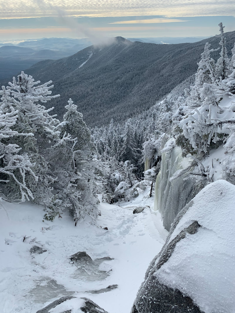
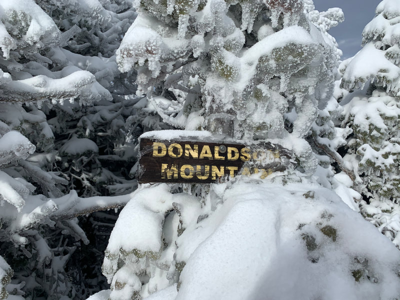
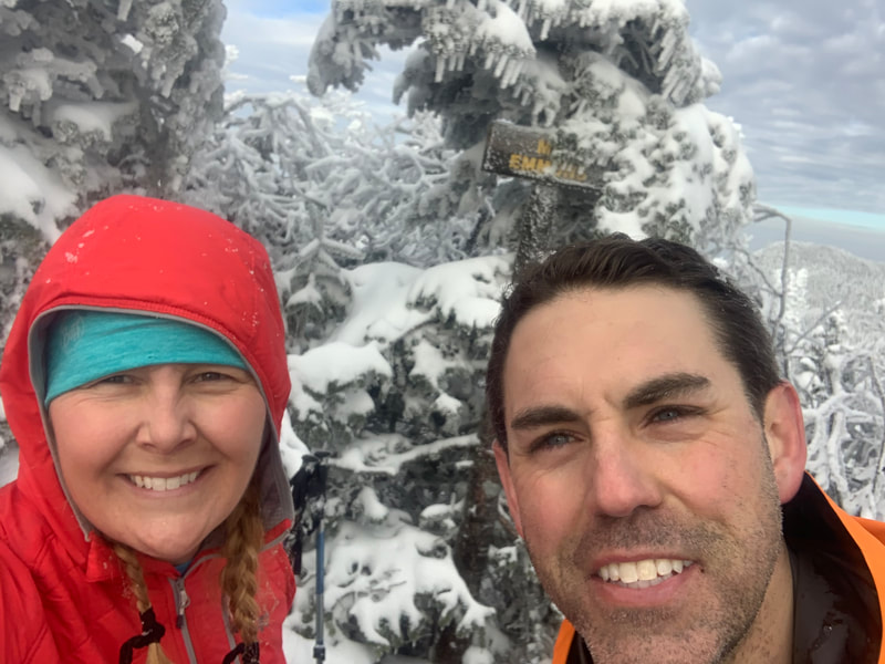
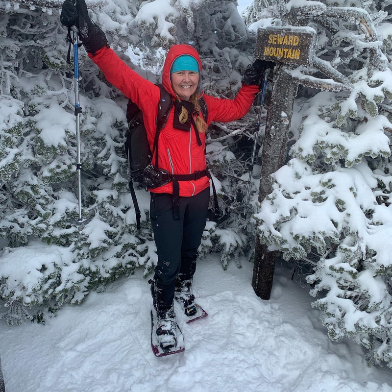
Joe took off and we followed soon after working through some ice bulge obstacles over to Emmons. One of these obstacles was tricky, and Glenn took out his ice axe to get over it. We passed Joe on his return trip and summited Mt Emmon's at 11:25AM. Here we had a quick lunch break. Glenn had been struggling with his layering system all day so he threw on his down jacket where as I, who was testing out the new Outdoor Research Refuge Air Jacket, was able to let the VerticalX synthetic insulation technology do the thermoregulating for me and didn't have to alter my layering system once during the whole day!
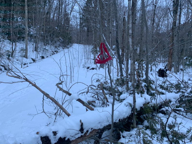
Here we walked down the Caulkins Brook trail crawling over and under several obstacles including down trees, open streams, and re-routes around some blowdown. The trail looked definitely better packed down than when we ascended and later we would find out a third group that had a late start was up on the ridge. When we finally reached the cairn, we took our snowshoes off and I returned to my microspikes to walk in the snow on the way out. Glenn was re-united with his missing microspike which was hanging on a tree and as we marched along to the junction daylight was fading. At the junction we donned our headlamps (at the same place we had taken them off earlier in the day) and walked out to the parking lot with one thought in mind: food and drink. We arrived at the parking lot at 5:15PM and signed out at the register, noticing that the there was a third group on the ridge. We then walked over to our car, noticing that the parking lot had been plowed!! Elated we knew the drive out in the dark wouldn't be hairy and we would be back at the hotel in no time. Then we saw it....the Thule ski box on on the top of my car was open with my keys in it! I guess in the darkness in the morning I had taken out our hiking poles and forgotten to close it and didn't notice at all that I hadn't locked it up!! The hiking community is such a trustworthy bunch and nothing was stolen or taken. What a mistake! And that wasn't the last one....Glenn had unknowingly left his red gloves on the roof of the car in the dark on the way out and on the way out we sped out of the parking lot and left them lying on the road! After returning from our trip, I posted a few photos on the Adirondack 4000 footers Facebook page about the trail conditions where a member of the third party had found the gloves and are mailing them to us! The hiking community is so amazing!
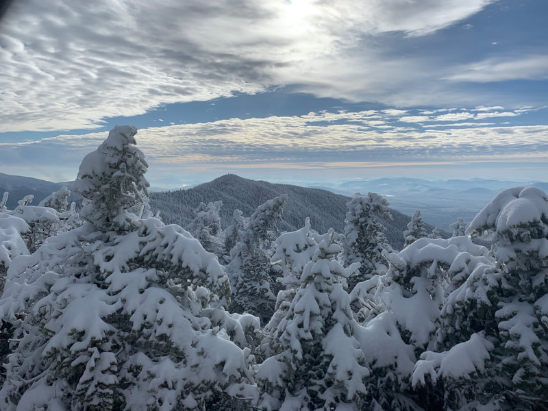
Another amazing hike in the High Peaks region of the Adirondacks. Up to 22/46 peaks for my Winter ADK 46er round!
Stats:
Date: January 2, 2020
Hike Distance: 24.96km
Time: 10. 5 hours
Ascent: 5500ft
Moving average: 3.2km/hr
Overall average: 2.3kmr/hr
.gpx file

 RSS Feed


