
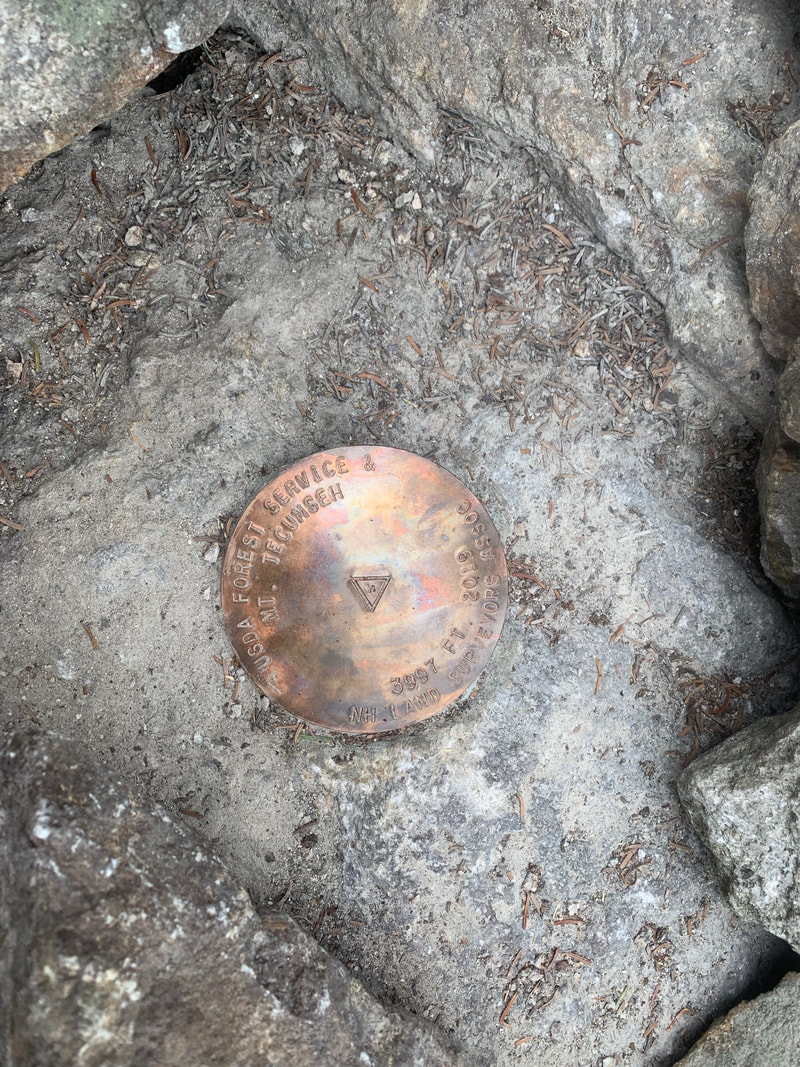
Mt Tecumseh summit marker 2019
Mount Tecumseh is a ski hill peak in the Sandwich Range in the southern White Mountains. The formerly 4003' peak has been re-measured in 2019 to read 3997'. As a peakbagger looking at completing the NE 111 (115er) list, I bagged this peak on August 7th, 2019. There are rumours that this peak might be taken off the NH 48 list but I hope it stays on the NE 111 (115) list. Fingers crossed my hiking efforts count!
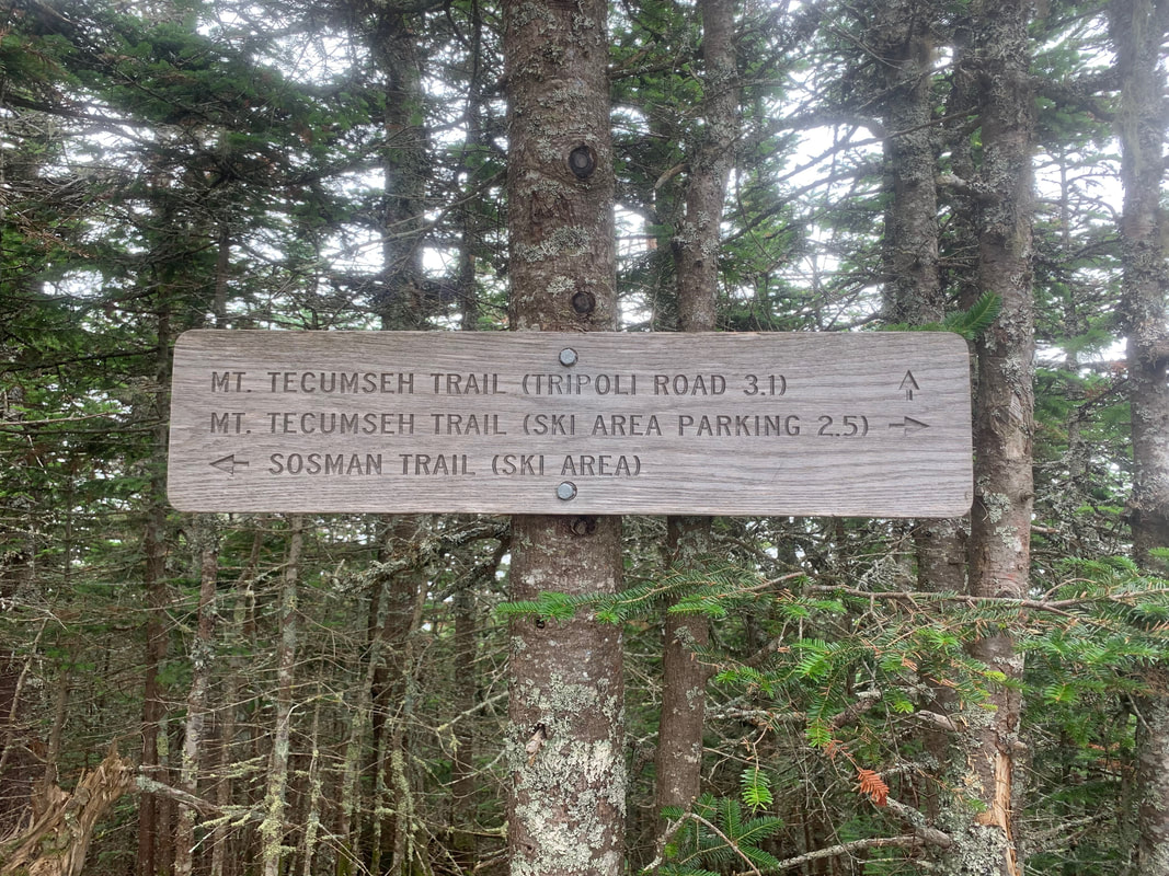
Today's plan was altered due to a strong forecast that was to include rain and severe thunderstorms. We decided instead to head up Mount Tecumseh from the longer Mount Tecumseh trail from Tripoli Road. Today we started at 9:30 AM, expecting a shorter hike than yesterday. The 6.2 mile round trip hike would be a perfect day out.
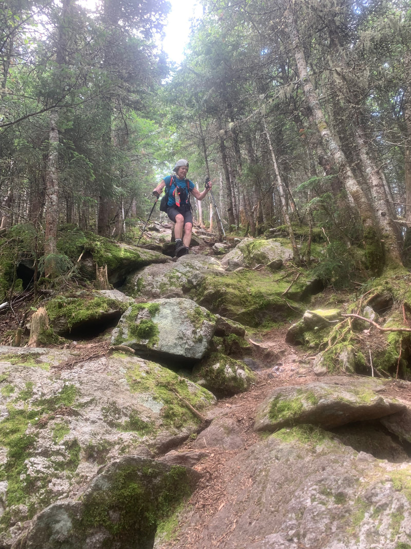
The trail from the parking lots jumps over two small brooks and then heads straight up. The grade is consistent and unrelenting. As it was hours before thunderstorms, the humidity levels were peaking and then wind was non-existent. Sweat dripped off our chins and flowed out of all our pours and we put one step in front of the other on this trail. That combined with numerous cobwebs made for a sticky mess on my skin. The trail was a soft soil slope with rocky boulders throughout. The trail is dense with forest cover and offers little to no views to gauge your progress.
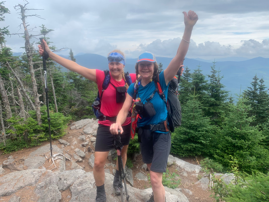
After a 1700' slog up we were at 3700' an hit our first peak. The trail then drops into a col and hits a final ascent to the summit proper. We hit the summit 1 hour and 45 minutes after leaving the parking lot and were very grateful to feel the breeze at the summit ledge. A family of 5 were also at the summit (had come up from the ski hill side) that were lovely to talk to. We were surprised that the daughter had forgotten her shoes and had hiked up barefoot!
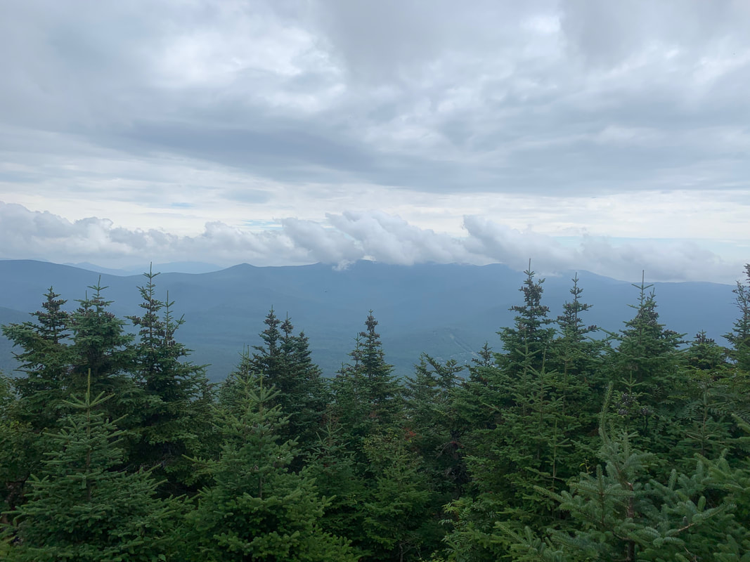
The summit has a brand new summit marker and some beautiful views of the Tripyramids and Osceolas. Some longer distance views were obscured by clouds on this day as the storm clouds were building in the sky. After a drink, snack and obligatory summit photo shoot, we turned around and made our way back to the car.
Stats:
Distance: 9.5km/6 miles
Elevation: 2592 feet
Time: 3.5 hours
Today's plan was altered due to a strong forecast that was to include rain and severe thunderstorms. We decided instead to head up Mount Tecumseh from the longer Mount Tecumseh trail from Tripoli Road. Today we started at 9:30 AM, expecting a shorter hike than yesterday. The 6.2 mile round trip hike would be a perfect day out.
The trail from the parking lots jumps over two small brooks and then heads straight up. The grade is consistent and unrelenting. As it was hours before thunderstorms, the humidity levels were peaking and then wind was non-existent. Sweat dripped off our chins and flowed out of all our pours and we put one step in front of the other on this trail. That combined with numerous cobwebs made for a sticky mess on my skin. The trail was a soft soil slope with rocky boulders throughout. The trail is dense with forest cover and offers little to no views to gauge your progress.
After a 1700' slog up we were at 3700' an hit our first peak. The trail then drops into a col and hits a final ascent to the summit proper. We hit the summit 1 hour and 45 minutes after leaving the parking lot and were very grateful to feel the breeze at the summit ledge. A family of 5 were also at the summit (had come up from the ski hill side) that were lovely to talk to. We were surprised that the daughter had forgotten her shoes and had hiked up barefoot!
The summit has a brand new summit marker and some beautiful views of the Tripyramids and Osceolas. Some longer distance views were obscured by clouds on this day as the storm clouds were building in the sky. After a drink, snack and obligatory summit photo shoot, we turned around and made our way back to the car.
Stats:
Distance: 9.5km/6 miles
Elevation: 2592 feet
Time: 3.5 hours
 RSS Feed


