At 7:30AM on Saturday August 26th, we met Greg from All Points Transportation at the base of Sugarloaf Mountain to shuttle us over to the Rapid Stream Trailhead near Mount Abraham. The shuttle ride cost us $90 USD, but it was worth it to save the extra mileage of doing an out-and-back hike as well as wear and tear on our car on the Rapid Stream 'road'.
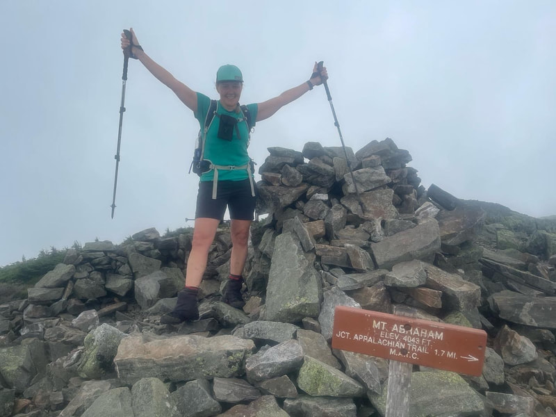
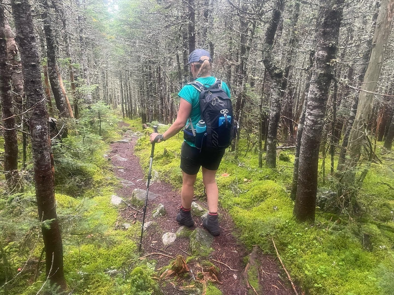
We began the hike at 8:15AM up the Fire Warden's trail that was a nice gradual hike up for the most part. We cross about a half dozen streams that were all flowing at max spring-like flow after the rain the night before. All were easily passed. After the last stream, the incline started to rise and sweat started to roll off our skin at the near 100% humidity in the forest. Finally we popped out onto a boulder field and got glimpses of our first views of the day. Thinking we were nearing the top, we continued up the exposed rock and even back into trees and out again before actually reaching the summit. Low lying clouds were still lingering and our summit views were partially obscured. The summit of Mount Abraham has pieces of an old fire tower lying around as well as a large summit cairn and sign. It took us 2.5 hours to reach the summit and 3000 feet of ascent. The forecast was calling for a potential thunderstorm in the afternoon and so instead of taking our usual summit break, we scurried off the unprotected summit down into the trees and took our first break en route to the Appalachian trail. Sections of the trail through here were gorgeous - green moss, nice soft dirt trail, easy going. There are a few rock piles to get through as well so as with most New England trails, it isn't ever totally easy.
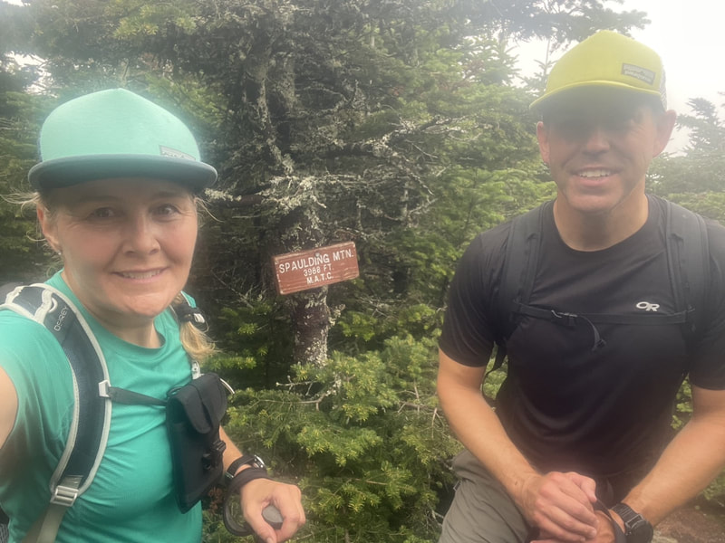
We reached the Appalachian trail and met up with a few thru-hikers, backpackers and day hikers - our first people sightings of the day. We headed towards the Spaulding lean-to where the trail became more saturated and puddle like in the col. The trail up to the Spaulding summit was wet and when we took the short 150yd spur trail to the summit we were back in a cloud and had no views (there might not be any from this treed summit anyway). The summit sign on this mountain says 3988ft, and I am assuming needs to be updated as it's included on the 4000 footer lists.
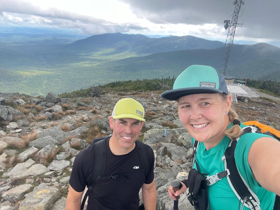
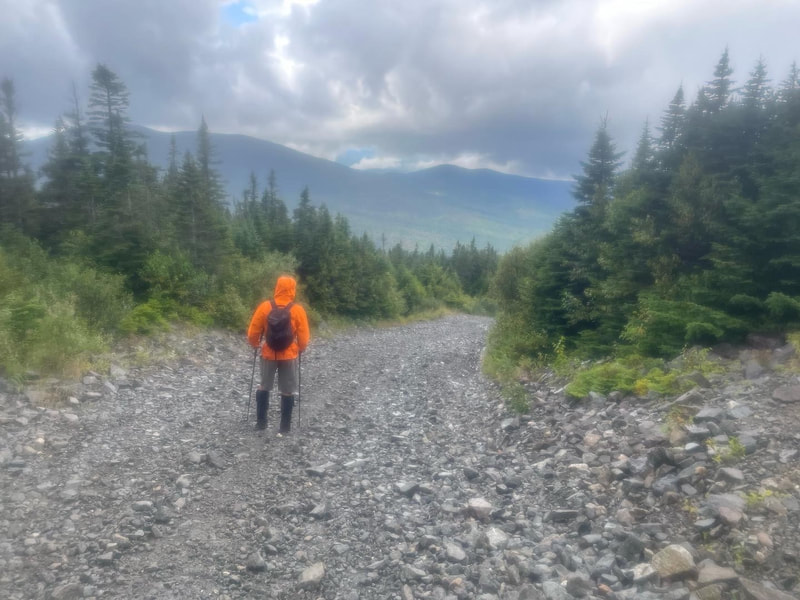
We re-traced our steps off Spaulding and regained the AT on a ridge towards Sugarloaf. This section was longer than what the map had said in terms of distance by 600m. We turned right and climbed about 600ft to the summit of Sugarloaf, where we met up with a few groups enjoyed a break and looking at views of the ridge. We took some photos from the summit cairn and tried not to get the many buildings, cellphone towers, Helipad, or chairlifts in the shots. Luckily the thunderstorm forecast did not arrive and we were getting a brief period of sun and a view of the entire ridge we had just hiked. Seconds later we were engulfed in a cloud and rain started to come down on us. We quickly threw on our Goretex shells and wolfed down our last bite of zucchini bread and headed down the Tote Road trail to the base. This gravel road is loose and steep initially and only when it started to ease did I look at my watch to figure out that I must have stopped the GPS tracking of the hike at the summit when I rushed to put on my rain jacket. I re-started it but lost 1km of tracking. Luckily Glenn had his full track on his watch so we have some accurate stats. The total descent down the ski hill was a steep 2100 foot leg burner! Glad to have these three in the bag!
Stats:
Distance: 21km
Elevation: 4985ft
Time: 8:07 hours

 RSS Feed


