Pre-trip:
Before the trip started we needed to collect a few essential items that include:
- The Adventure Map for Philip Edward Island, along with a map case, GPS, and compass
- Safety gear: SPOT device, paddle float, bilge pump, throw bag, whistle, PFD
- Sea kayak, paddle, and sprayskirt
- Camp gear: tent, sleeping bag, sleeping mat, tarp, camp chair
- Personal gear: clothes, toiletries, meds, hats, rain gear, camp shoes, boat shoes, sunscreen, bug spray, headlamp, and several small 10L stuff sacks
- Kitchen gear: stove, fuel, lighter, pots, bowls, mugs, cutlery, spatula, knife, dish soap and scrubbie, garbage bag, and food
- Toilet bag which includes: trowel, brown paper bags, toilet paper, hand sanitizer
- Camera, GoPro, etc.
Day 1: Chikanishing to Jaws Island
Our group decided to use the Chikanishing access point located 2km from the Killarney Park Office. Make sure to stop at the park office to pick up a parking permit for the duration of your stay. The cost is around $15/day per car.
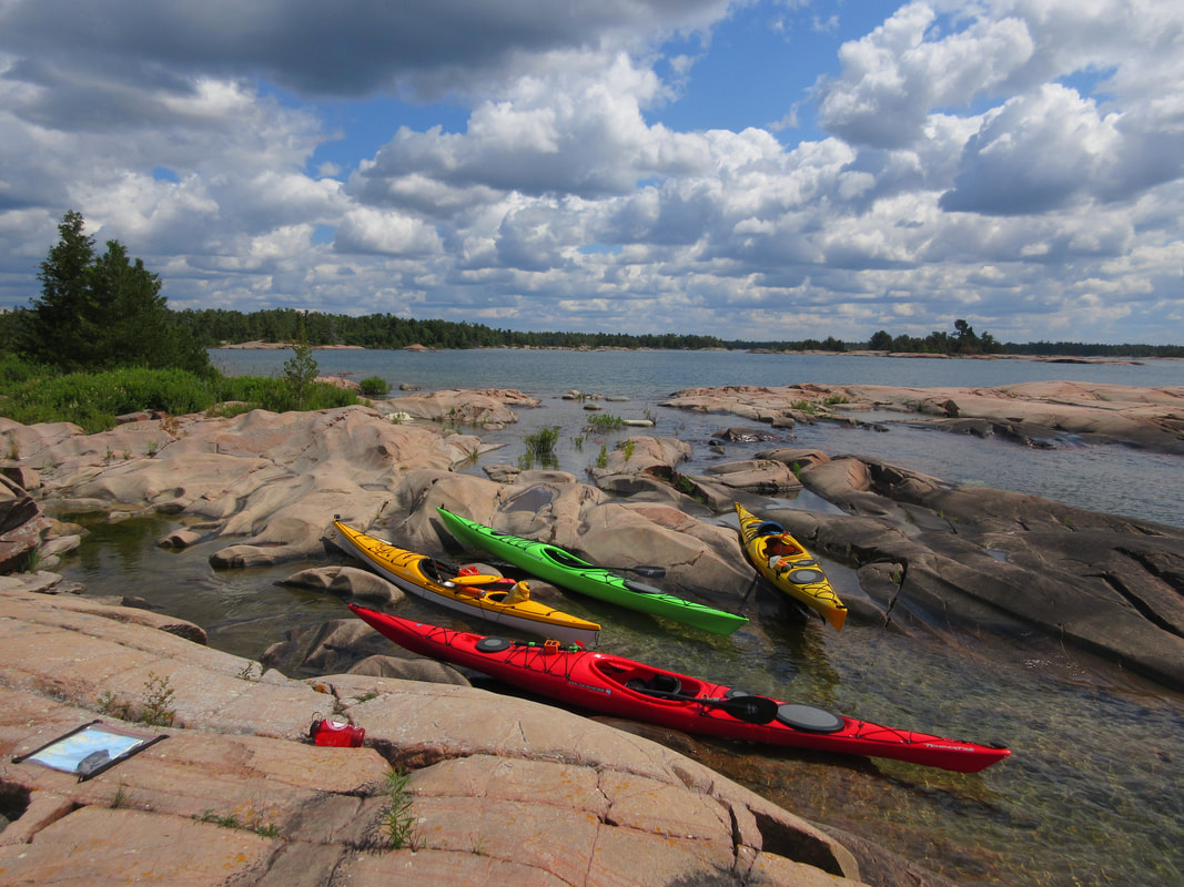
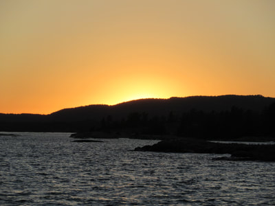
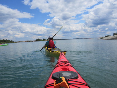
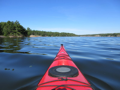
After driving for most of the day, we arrived at the parking lot to find a excellent drop off and staging area. After unloading our gear and parking our cars, we spent some time figuring out the puzzle of how to most efficiently pack the boats and make use of the space. After everything fit we were ready to head down the 500m creek to the big waters of Georgian Bay. We had been given a heads up by another paddler returning from trip that the winds were up and the swells were growing. At the terminus of Chikanishing creek, we could hear the waves crashing into the rocky shoreline and feel the wind's strength increase. I'm sure we were wondering what we had gotten ourselves into. Our group of 4 were all experienced whitewater and flatwater paddlers, but had never done a sea kayak trip before. When we turned the corner and got a glimpse of the big water, the swells were over 2 feet high. Our mission, if we chose to accept it was to make the 700m crossing over to the Philip Edward Island (PEI). We accepted the mission and began to cross directly over. Alternatively, some groups paddle downwind to Crossing Island, and then continue over to the north shore of PEI, while others turn around and wait out the wind if it's too unsafe. As we began to paddle into the open water I couldn't help but feel nervous at first as the bow of my boat crashed down in the troughs of waves and my sprayskirt got blasted with water. It didn't take long however to realize that sea kayaks were made for this type of travel and they are both confidence-inspiring and stable even in rough water. Before we knew it we had reached South Point and turned the corner. We got to a small campsite on Jaws Island about an hour after we had set-off and set up camp and had a lovely evening watching the sun set behind the LaCloche mountains in the distance.
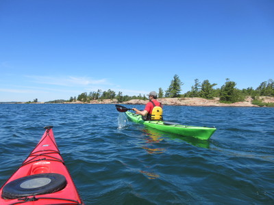
Day 2 started with excitement and anticipation as we woke to find that the winds from the day before had dissipated and the sky was cloudless. After a quick breakfast we packed up (trying to remember how we had packed the boats the day before) we jumped in the boats and set off. It didn't take long to realize that after plotting our UTM coordinates from the GPS onto the map that travel in a sea kayak is FAST. We we averaging 5km/hr and by no means were we trying to break any speed records.
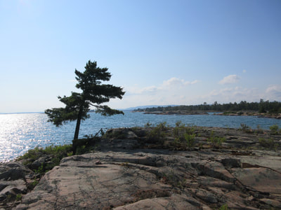
The south shore of PEI is the real gem of the trip. Spending time exploring bays and various islands is really what this trip is all about. The setting is incredible and this is where you should plan to spend the most time. The Fox Islands are pretty incredible and are worth a visit.
We had made our way to Hincks Island in just over 4 hours after leaving camp. In hindsight I wished we had done some more meandering and exploring but the thought of the wind changing direction and picking up was always in the back of our minds. Hincks island is home to several campsites so we claimed one and set up camp. We spent the rest of the afternoon swimming in the cool clear water, napping, and enjoying the view.
Day 3: Hincks Island to Collins Inlet
Our third day on began entering Beaverstone Bay. The vibe of the trip switched as this area was a route for motorized craft moving up to the north channel. The clear blue water transitions to more traditional tannin stained tea coloured freshwater. Paddling in this bay is easy going and goes by quickly.
Turning left at the northeast point of the island we found ourselves in Collins Inlet; a narrow channel flanked with granite walls. The lodges around Collins Inlet weren't worth a stop so we continues on to Mill Lake where we stopped to have lunch. We considered camping here for the night and explored this lake looking for campsite options. After an hour or so of paddling it was evident that this Lake was not used as a destination to camp. My advice would be to skip right over this area.
We continued down to the narrowest point of the channel and began looking for campsites. We found two side by side on the island, not on the map just before the second cabin property after Mill Lake. It's important to note that not all campsites are marked on the map and some of the better sites are the ones not marked. After a longer day we made camp and watched numerous motorized craft pass by, imagining what the fur traders life was like that used this route 400 years ago.
Day 4: Collins Inlet to Chikanishing
Day 4 was a short day including a 3 hour paddle along the rocky shores and paddling over the waves of boat wakes out back to the parking lot. We tried to find the pictographs supposedly along the rocks in this section but could not find them. Navigation is easy here as you have many marine markings to follow out to the western entrance. We felt a sense of accomplishment as we completed the circumnavigation of the island. A fantastic place to sea kayak!
Tips for Sea Kayaking PEI:
- Make sure your canoe or sea kayak has a good spray skirt
- Make sure you know how to take a GPS coordinate and plot it on a map before you go.
- Allow for 3 full days to circumnavigate
- Skip over Mill Lake
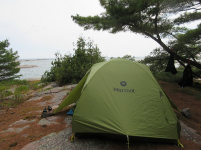
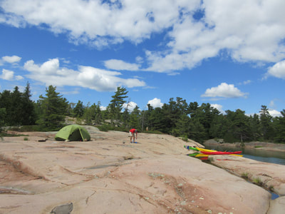
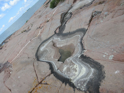
- Camping is sub-optimal : not much flat ground, tent sites often on exposed rock, often not small sites
- Majority of campsites do not have an outhouse or kybo. Campsite often had shallow ground to dig into so we implemented the poop bag: A trowel for digging a 6" hole, toilet paper and a brown bag to put the used TP in, and hand sanitizer to clean your hands afterwards. I often take 2 small sticks to create an "X" over the area I used to dig. No one likes to see your used TP on the ground. Ever.
- Blueberry bushes were found on every campsite.
- Massassauga Rattlesnakes are a poisonous snake found on PEI. We did not see one, but had our eyes peeled everywhere we walked.
- Tent stakes were not very useful. We had to use rocks to anchor our tent down most nights.
- Take breaks every 2 hours. We found that if we didn't our bodies really felt it.
- If I were to return to this area, I would spend all my time on the south shore exploring the islands and bays there.
- In July, mosquitoes came out in hoards at 9:30PM every evening. If you make sure you are in the tent by then and you can avoid the nuisance.
- Fishing - apparently supposed to be good, but our two guys came up unlucky.
- Consider a longsleeve high UV sun shirt as your upper body clothing. The UV is high!
- Bring your thickest or most comfortable sleeping pad
- Bring numerous small carabiners to clip things to the deck of your boat
- Be on the look-out for camp spots. Not all the sites are marked on the map, and the ones on the map aren't necessarily always the best or most often used sites
- Hatches are theoretically supposed to be leak-proof but in rough water that flows over your bow or stern let in a small amount of water into both hatches
Any lingering questions? Feel free to ask in the comments below!

 RSS Feed

